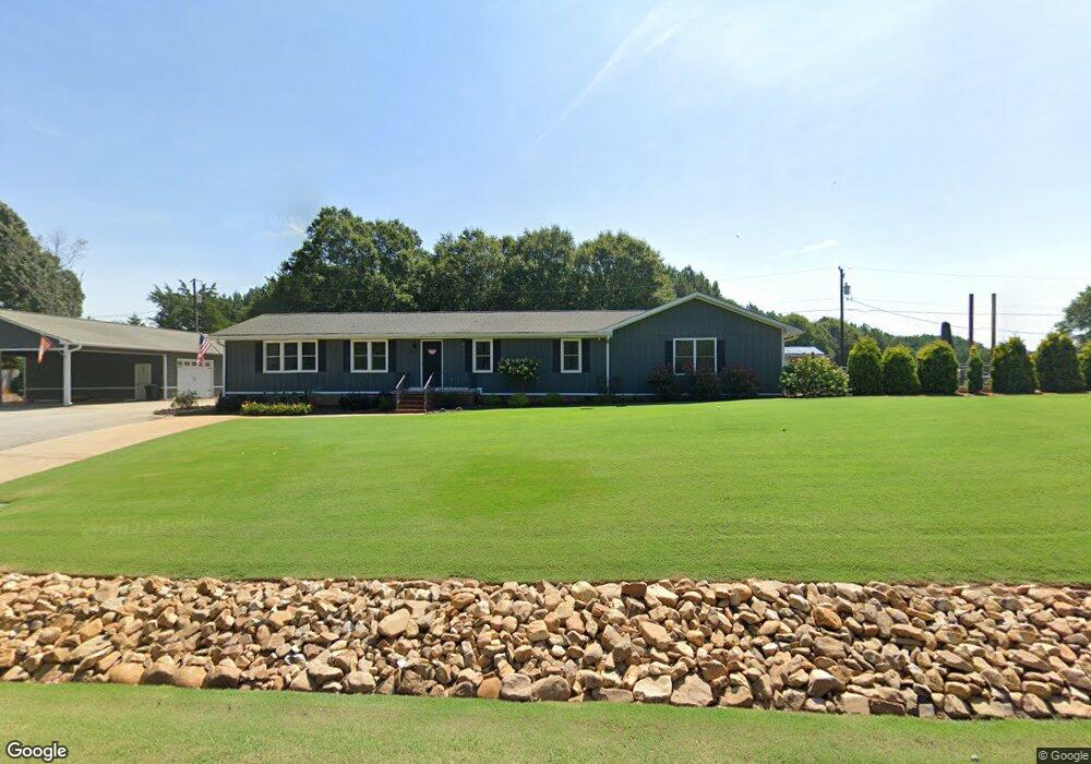
5616 Highway 187 Anderson, SC 29625
Estimated Value: $302,084 - $387,000
--
Bed
--
Bath
1,950
Sq Ft
$177/Sq Ft
Est. Value
About This Home
This home is located at 5616 Highway 187, Anderson, SC 29625 and is currently estimated at $345,521, approximately $177 per square foot. 5616 Highway 187 is a home with nearby schools including Pendleton High School.
Ownership History
Date
Name
Owned For
Owner Type
Purchase Details
Closed on
May 4, 2020
Sold by
Morris George G and Morris Crystal C
Bought by
Gross Jonathion E and Hart Annslee R
Current Estimated Value
Home Financials for this Owner
Home Financials are based on the most recent Mortgage that was taken out on this home.
Original Mortgage
$191,250
Outstanding Balance
$169,474
Interest Rate
3.3%
Mortgage Type
New Conventional
Estimated Equity
$176,047
Purchase Details
Closed on
Jun 29, 2015
Sold by
Wilson Jason R and Wilson Teresa A
Bought by
Morris George G and Morris Crystal C
Home Financials for this Owner
Home Financials are based on the most recent Mortgage that was taken out on this home.
Original Mortgage
$180,500
Interest Rate
3.89%
Mortgage Type
New Conventional
Create a Home Valuation Report for This Property
The Home Valuation Report is an in-depth analysis detailing your home's value as well as a comparison with similar homes in the area
Home Values in the Area
Average Home Value in this Area
Purchase History
| Date | Buyer | Sale Price | Title Company |
|---|---|---|---|
| Gross Jonathion E | $225,000 | None Available | |
| Morris George G | $190,000 | -- |
Source: Public Records
Mortgage History
| Date | Status | Borrower | Loan Amount |
|---|---|---|---|
| Open | Gross Jonathion E | $191,250 | |
| Previous Owner | Morris George G | $180,500 |
Source: Public Records
Tax History Compared to Growth
Tax History
| Year | Tax Paid | Tax Assessment Tax Assessment Total Assessment is a certain percentage of the fair market value that is determined by local assessors to be the total taxable value of land and additions on the property. | Land | Improvement |
|---|---|---|---|---|
| 2024 | $1,644 | $10,860 | $330 | $10,530 |
| 2023 | $1,644 | $10,860 | $330 | $10,530 |
| 2022 | $1,448 | $10,860 | $330 | $10,530 |
| 2021 | $1,264 | $8,970 | $320 | $8,650 |
| 2020 | $1,139 | $8,160 | $320 | $7,840 |
| 2019 | $1,139 | $8,160 | $320 | $7,840 |
| 2018 | $1,148 | $8,160 | $320 | $7,840 |
| 2017 | -- | $8,160 | $320 | $7,840 |
| 2016 | $1,066 | $7,030 | $320 | $6,710 |
| 2015 | $905 | $7,030 | $320 | $6,710 |
| 2014 | $931 | $7,030 | $320 | $6,710 |
Source: Public Records
Map
Nearby Homes
- 1011 Shadow Ln
- 4638 Pine Needle Cir
- 4615 Pine Needle Cir
- 108 Grindstone Way
- 527 Nautical Way
- 116 Dean Rd
- 1130 Cartee Rd
- 3310 Centerville Rd
- 201 Shore Dr
- 2152 Deloach Dr
- 115 Woodshore Dr
- 5924 S Carolina 187
- 00 Nunnally Rd
- 204 Rock Creek Rd
- 1011 Arrowhead Point Rd
- 114 Ann Rd
- 5028 Patterson Rd
- 360 Cann Rd
- 1103 Burns Bridge Rd
- 113 Topsail Dr
- 5614 Highway 187
- 5618 Highway 187
- 5615 Highway 187
- 5612 Highway 187
- 1001 Shadow Ln
- 5620 S Carolina 187
- 112 Gambrell Rd
- 5620 Highway 187
- 5611 S Carolina 187
- 5611 Highway 187
- 140 Gambrell Rd
- 1003 Shadow Ln
- 152 Gambrell Rd
- 1000 Shadow Ln
- 1002 Shadow Ln
- 1005 Shadow Ln
- 120 Gambrell Rd
- 1004 Shadow Ln
- 102 Gambrell Rd
- 1007 Shadow Ln