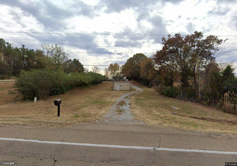
5616 Us Highway 70 E Brownsville, TN 38012
Estimated Value: $102,000 - $165,000
--
Bed
--
Bath
732
Sq Ft
$184/Sq Ft
Est. Value
About This Home
This home is located at 5616 Us Highway 70 E, Brownsville, TN 38012 and is currently estimated at $134,789, approximately $184 per square foot. 5616 Us Highway 70 E is a home located in Haywood County with nearby schools including Anderson Early Childhood Center, East Side Elementary School, and Haywood Elementary School.
Ownership History
Date
Name
Owned For
Owner Type
Purchase Details
Closed on
Jan 11, 2008
Sold by
Ruthie Ross
Bought by
R & D Llc
Current Estimated Value
Purchase Details
Closed on
Nov 12, 2007
Bought by
Ross Ruthie
Purchase Details
Closed on
Mar 2, 2004
Sold by
Ellerson Ellis Betty
Bought by
Hendrix Brenda G
Purchase Details
Closed on
Oct 7, 1986
Purchase Details
Closed on
Nov 8, 1984
Purchase Details
Closed on
May 6, 1980
Purchase Details
Closed on
Mar 27, 1968
Create a Home Valuation Report for This Property
The Home Valuation Report is an in-depth analysis detailing your home's value as well as a comparison with similar homes in the area
Home Values in the Area
Average Home Value in this Area
Purchase History
| Date | Buyer | Sale Price | Title Company |
|---|---|---|---|
| R & D Llc | -- | -- | |
| Ross Ruthie | $24,500 | -- | |
| Hendrix Brenda G | $9,500 | -- | |
| -- | $6,000 | -- | |
| -- | -- | -- | |
| -- | -- | -- | |
| -- | -- | -- |
Source: Public Records
Tax History Compared to Growth
Tax History
| Year | Tax Paid | Tax Assessment Tax Assessment Total Assessment is a certain percentage of the fair market value that is determined by local assessors to be the total taxable value of land and additions on the property. | Land | Improvement |
|---|---|---|---|---|
| 2025 | $494 | $25,625 | $0 | $0 |
| 2024 | $494 | $25,625 | $2,300 | $23,325 |
| 2023 | $471 | $17,075 | $2,250 | $14,825 |
| 2022 | $471 | $17,075 | $2,250 | $14,825 |
| 2021 | $471 | $17,075 | $2,250 | $14,825 |
| 2020 | $471 | $17,075 | $2,250 | $14,825 |
| 2019 | $471 | $17,075 | $2,250 | $14,825 |
| 2018 | $481 | $16,725 | $1,950 | $14,775 |
| 2017 | $481 | $16,725 | $1,950 | $14,775 |
| 2016 | $443 | $16,725 | $1,950 | $14,775 |
| 2015 | $443 | $16,725 | $1,950 | $14,775 |
| 2014 | $401 | $16,725 | $1,950 | $14,775 |
Source: Public Records
Map
Nearby Homes
- 77 Upper Zion Rd
- 135 Davis Rd
- 1450 Friendship Rd
- 855 Springfield Rd
- 470 Marbury Rd
- 736 Tippett Ln
- 5596 79 Hwy N
- 0 Deerfield Cove Unit 2504512
- 2902 Us Highway 79 N
- 2397 U S 79
- 00 Route 76
- 2267 Anderson Ave
- 1295 Anderson Ave
- 1114 Warren St
- 917 Anderson Ave Unit A
- 930 Gray St
- 703 Cottonwood Dr
- 103 N Bond Ave
- 105 N Bond Ave
- 411 N Bond Ave
- 5636 Us Highway 70 E
- 80 Upper Zion Rd
- 5756 Us Highway 70 E
- 5462 Us Highway 70 E
- 150 Upper Zion Rd
- 5437 Us Highway 70 E
- 5801 Us Highway 70 E
- 0 Chestnut Grove Rd
- 799 Chestnut Grove Rd
- 5921 Us Highway 70 E
- 5963 Us Highway 70 E
- 894 Chestnut Grove Rd
- 803 Chestnut Grove Rd
- 6007 Us Highway 70 E
- 6007 U S 70
- 805 Chestnut Grove Rd
- 901 Chestnut Grove Rd
- 111 Ellington Rd
- 825 Chestnut Grove Rd
- 5157 Us Highway 70 E