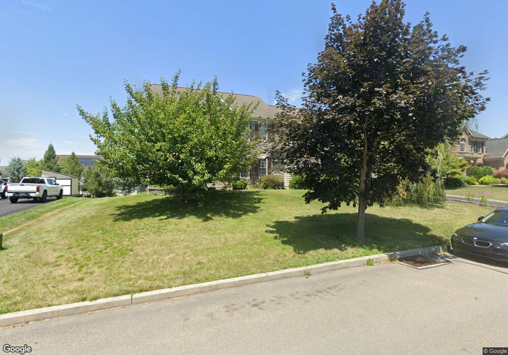
5618 Falcon Dr Bethlehem, PA 18017
Estimated Value: $651,000 - $744,000
4
Beds
3
Baths
4,345
Sq Ft
$159/Sq Ft
Est. Value
About This Home
This home is located at 5618 Falcon Dr, Bethlehem, PA 18017 and is currently estimated at $692,697, approximately $159 per square foot. 5618 Falcon Dr is a home located in Northampton County with nearby schools including Asa Packer Elementary School, Nitschmann Middle School, and Liberty High School.
Ownership History
Date
Name
Owned For
Owner Type
Purchase Details
Closed on
Feb 16, 2007
Sold by
Deluca Enterprises Inc
Bought by
Colvin Christopher L
Current Estimated Value
Home Financials for this Owner
Home Financials are based on the most recent Mortgage that was taken out on this home.
Original Mortgage
$360,000
Outstanding Balance
$216,462
Interest Rate
6.23%
Mortgage Type
New Conventional
Estimated Equity
$476,235
Create a Home Valuation Report for This Property
The Home Valuation Report is an in-depth analysis detailing your home's value as well as a comparison with similar homes in the area
Home Values in the Area
Average Home Value in this Area
Purchase History
| Date | Buyer | Sale Price | Title Company |
|---|---|---|---|
| Colvin Christopher L | $450,000 | -- |
Source: Public Records
Mortgage History
| Date | Status | Borrower | Loan Amount |
|---|---|---|---|
| Open | Colvin Christopher L | $360,000 |
Source: Public Records
Tax History Compared to Growth
Tax History
| Year | Tax Paid | Tax Assessment Tax Assessment Total Assessment is a certain percentage of the fair market value that is determined by local assessors to be the total taxable value of land and additions on the property. | Land | Improvement |
|---|---|---|---|---|
| 2025 | $1,393 | $129,000 | $25,900 | $103,100 |
| 2024 | $9,404 | $129,000 | $25,900 | $103,100 |
| 2023 | $9,436 | $129,000 | $25,900 | $103,100 |
| 2022 | $9,347 | $129,000 | $25,900 | $103,100 |
| 2021 | $9,271 | $129,000 | $25,900 | $103,100 |
| 2020 | $9,283 | $129,000 | $25,900 | $103,100 |
| 2019 | $9,245 | $129,000 | $25,900 | $103,100 |
| 2018 | $9,062 | $129,000 | $25,900 | $103,100 |
| 2017 | $8,998 | $129,000 | $25,900 | $103,100 |
| 2016 | -- | $129,000 | $25,900 | $103,100 |
| 2015 | -- | $129,000 | $25,900 | $103,100 |
| 2014 | -- | $129,000 | $25,900 | $103,100 |
Source: Public Records
Map
Nearby Homes
- 6822 Sycamore Dr
- 4515 Loraine Ln
- 4439 Loraine Ln
- 4948 Cheryl Dr
- 4931 Cheryl Dr Unit 117
- 4931 Cheryl Dr
- 6718 Patriots Dr
- 6780 Gwenmawr Rd
- 4410 Greenfield Rd
- 6333 Valor Dr
- 5531 Grace Ave
- 0 Jade Ln
- 4064 Autumn Ridge Rd
- 0 0 Jade Ln
- 1225 Brentwood Ave
- 1490 Orchard Ln
- 5449 Hale Ave
- 6172 Airport Rd
- 2299 Brodhead Rd Unit B
- 6075 Airport Rd
- 5614 Falcon Dr
- 5622 Falcon Dr
- 5847 Monocacy Dr
- 5843 Monocacy Dr
- 5851 Monocacy Dr
- 5617 Falcon Dr
- 5621 Falcon Dr
- 5626 Falcon Dr
- 5613 Falcon Dr
- 5610 Falcon Dr
- 5839 Monocacy Dr
- 5855 Monocacy Dr
- 5625 Falcon Dr
- 5609 Falcon Dr
- 5835 Monocacy Dr
- 5630 Falcon Dr
- 5918 Monocacy Dr
- 5606 Falcon Dr
- 5629 Falcon Dr
- 5846 Monocacy Dr