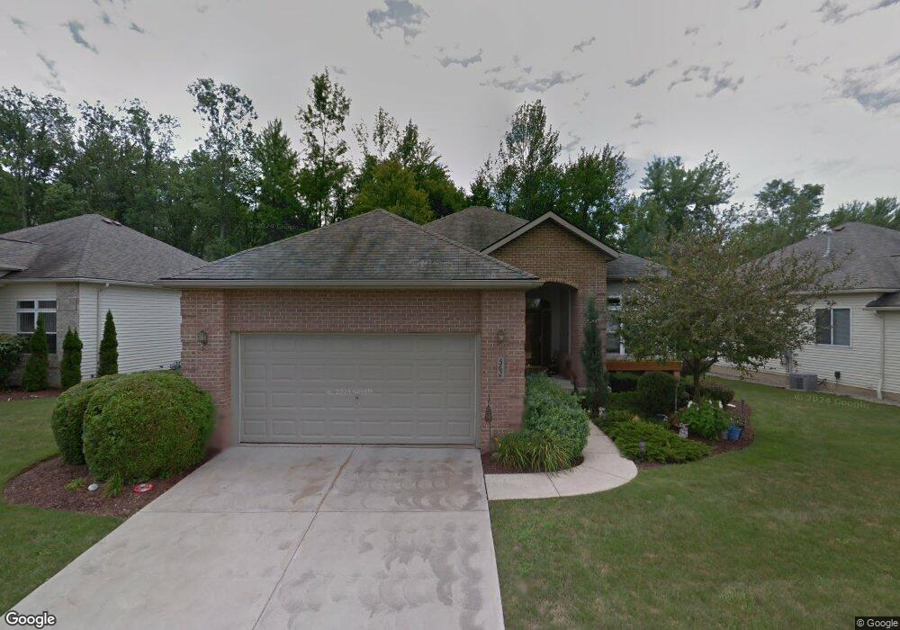
562 Deer Path Ln Northfield, OH 44067
Estimated Value: $329,000 - $364,000
2
Beds
2
Baths
1,762
Sq Ft
$196/Sq Ft
Est. Value
About This Home
This home is located at 562 Deer Path Ln, Northfield, OH 44067 and is currently estimated at $346,138, approximately $196 per square foot. 562 Deer Path Ln is a home located in Summit County with nearby schools including Lee Eaton Elementary School, Nordonia Middle School, and Nordonia High School.
Ownership History
Date
Name
Owned For
Owner Type
Purchase Details
Closed on
Sep 18, 2000
Sold by
Brandywine Preserve Ltd
Bought by
Horrigan William D and Horrigan Linda J
Current Estimated Value
Home Financials for this Owner
Home Financials are based on the most recent Mortgage that was taken out on this home.
Original Mortgage
$224,900
Outstanding Balance
$80,224
Interest Rate
7.8%
Estimated Equity
$265,914
Create a Home Valuation Report for This Property
The Home Valuation Report is an in-depth analysis detailing your home's value as well as a comparison with similar homes in the area
Home Values in the Area
Average Home Value in this Area
Purchase History
| Date | Buyer | Sale Price | Title Company |
|---|---|---|---|
| Horrigan William D | $184,901 | Equity Title Agency Inc |
Source: Public Records
Mortgage History
| Date | Status | Borrower | Loan Amount |
|---|---|---|---|
| Open | Horrigan William D | $224,900 | |
| Closed | Horrigan William D | $26,400 |
Source: Public Records
Tax History
| Year | Tax Paid | Tax Assessment Tax Assessment Total Assessment is a certain percentage of the fair market value that is determined by local assessors to be the total taxable value of land and additions on the property. | Land | Improvement |
|---|---|---|---|---|
| 2024 | $4,270 | $92,548 | $20,850 | $71,698 |
| 2023 | $4,270 | $92,548 | $20,850 | $71,698 |
| 2022 | $3,820 | $70,750 | $15,915 | $54,835 |
| 2021 | $3,831 | $70,750 | $15,915 | $54,835 |
| 2020 | $3,769 | $70,760 | $15,920 | $54,840 |
| 2019 | $3,573 | $61,810 | $14,280 | $47,530 |
| 2018 | $3,149 | $61,810 | $14,280 | $47,530 |
| 2017 | $3,021 | $61,810 | $14,280 | $47,530 |
| 2016 | $3,021 | $57,130 | $14,280 | $42,850 |
| 2015 | $3,021 | $57,130 | $14,280 | $42,850 |
| 2014 | $3,003 | $57,130 | $14,280 | $42,850 |
| 2013 | $2,866 | $57,720 | $14,280 | $43,440 |
Source: Public Records
Map
Nearby Homes
- 7314 Forest Cove Ln Unit B
- 7444 Meadow Brooke Way
- 731 Millstream Run
- 770 Northbridge Ct Unit 27
- 0 Highland Valley View Rd E
- 1481 Timber Trail
- 8553 Olde 8 Rd
- 8559 Pabin Ct
- 7599 Estate Ave
- 1752 Marwell Blvd
- 1440 E Hines Hill Rd
- 8720 Olde 8 Rd
- 1927 Case St
- 6562 Regal Woods Dr
- 61 Lake Forest Dr
- 34 Chadbourne Dr
- 381 Boston Mills Rd
- 8800 Lawton Dr
- 0 Olde Eight Rd Unit 5156367
- 2092 Holmes Dr
- 568 Deer Path Ln
- 556 Deer Path Ln Unit 12
- 574 Deer Path Ln
- 550 Deer Path Ln
- 580 Deer Path Ln
- 544 Deer Path Ln
- 543 Deer Path Ln
- 586 Deer Path Ln
- 538 Deer Path Ln Unit 7
- 537 Deer Path Ln
- 592 Deer Path Ln
- 532 Deer Path Ln
- 543 Shallow Creek Cir
- 595 E Twinsburg Rd
- 535 Shallow Creek Cir
- 605 E Twinsburg Rd
- 551 Shallow Creek Cir
- 587 E Twinsburg Rd
- 559 Shallow Creek Cir
- 527 Shallow Creek Cir
Your Personal Tour Guide
Ask me questions while you tour the home.