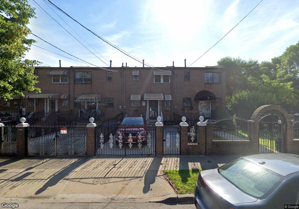
562 Powell St Brooklyn, NY 11212
Brownsville NeighborhoodEstimated Value: $534,954 - $594,000
Studio
--
Bath
1,116
Sq Ft
$510/Sq Ft
Est. Value
About This Home
This home is located at 562 Powell St, Brooklyn, NY 11212 and is currently estimated at $569,489, approximately $510 per square foot. 562 Powell St is a home located in Kings County with nearby schools including P.S. 165 Ida Posner, P.S. 150 - Christopher, and P.S. 156 Waverly.
Ownership History
Date
Name
Owned For
Owner Type
Purchase Details
Closed on
Dec 10, 2012
Sold by
Fox Gerardo A
Bought by
Campbell Bernard
Current Estimated Value
Home Financials for this Owner
Home Financials are based on the most recent Mortgage that was taken out on this home.
Original Mortgage
$213,500
Outstanding Balance
$148,338
Interest Rate
3.43%
Mortgage Type
New Conventional
Estimated Equity
$421,151
Purchase Details
Closed on
Sep 5, 2002
Sold by
Martin Myrtle
Bought by
Fox Gerardo A and Fox Lilia
Home Financials for this Owner
Home Financials are based on the most recent Mortgage that was taken out on this home.
Original Mortgage
$187,064
Interest Rate
6.24%
Create a Home Valuation Report for This Property
The Home Valuation Report is an in-depth analysis detailing your home's value as well as a comparison with similar homes in the area
Home Values in the Area
Average Home Value in this Area
Purchase History
| Date | Buyer | Sale Price | Title Company |
|---|---|---|---|
| Campbell Bernard | $225,000 | -- | |
| Fox Gerardo A | -- | -- |
Source: Public Records
Mortgage History
| Date | Status | Borrower | Loan Amount |
|---|---|---|---|
| Open | Campbell Bernard | $213,500 | |
| Previous Owner | Fox Gerardo A | $187,064 |
Source: Public Records
Tax History
| Year | Tax Paid | Tax Assessment Tax Assessment Total Assessment is a certain percentage of the fair market value that is determined by local assessors to be the total taxable value of land and additions on the property. | Land | Improvement |
|---|---|---|---|---|
| 2025 | $4,398 | $32,700 | $13,320 | $19,380 |
| 2024 | $4,398 | $31,800 | $13,320 | $18,480 |
| 2023 | $4,447 | $35,760 | $13,320 | $22,440 |
| 2022 | $4,199 | $30,420 | $13,320 | $17,100 |
| 2021 | $4,176 | $30,360 | $13,320 | $17,040 |
| 2020 | $1,958 | $24,780 | $13,320 | $11,460 |
| 2019 | $3,817 | $24,780 | $13,320 | $11,460 |
| 2018 | $3,720 | $18,247 | $9,165 | $9,082 |
| 2017 | $3,573 | $17,528 | $10,376 | $7,152 |
| 2016 | $3,306 | $16,536 | $11,617 | $4,919 |
| 2015 | $2,060 | $15,600 | $11,100 | $4,500 |
| 2014 | $2,060 | $15,206 | $10,119 | $5,087 |
Source: Public Records
Map
Nearby Homes
- 699 Sackman St
- 592 Powell St
- 546 Powell St
- 502 Powell St
- 797 Mother Gaston Blvd
- 555 Christopher Ave
- 578 Christopher Ave
- 584 Hinsdale St
- 533 Snediker Ave
- 589 Hinsdale St
- 582 Williams Ave
- 578 Williams Ave
- 650 Williams Ave
- 1753 Linden Blvd
- 1755 Linden Blvd
- 660 Williams Ave
- 610 Alabama Ave
- 606 Alabama Ave
- 504 Thatford Ave
- 923 Rockaway Ave
Your Personal Tour Guide
Ask me questions while you tour the home.