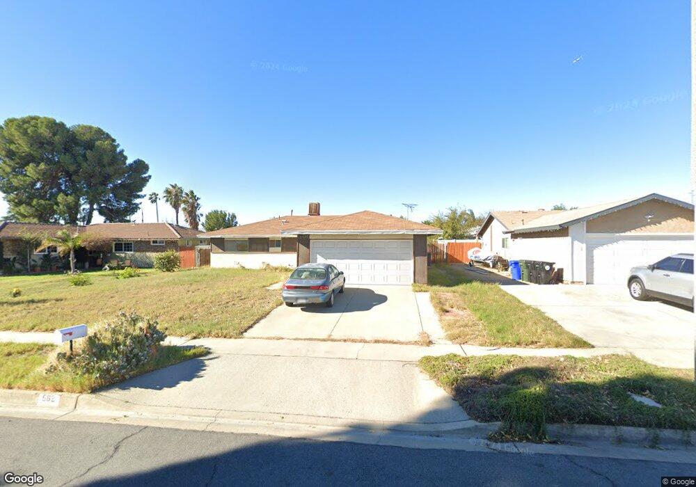
562 S Ashford Ave Bloomington, CA 92316
Estimated Value: $526,264 - $590,000
4
Beds
2
Baths
1,344
Sq Ft
$406/Sq Ft
Est. Value
About This Home
This home is located at 562 S Ashford Ave, Bloomington, CA 92316 and is currently estimated at $545,816, approximately $406 per square foot. 562 S Ashford Ave is a home located in San Bernardino County with nearby schools including Maple Elementary School, Alder Middle School, and Jurupa Hills High School.
Ownership History
Date
Name
Owned For
Owner Type
Purchase Details
Closed on
Jul 8, 2023
Sold by
Kim Chang Z and Kim Young H
Bought by
Kim Steven C and Kim Young H
Current Estimated Value
Purchase Details
Closed on
Nov 12, 2022
Sold by
Kim Chang Z
Bought by
Kim Steven C and Kim Grant S
Purchase Details
Closed on
Jun 5, 2018
Sold by
Kim Chang Z and Kim Young H
Bought by
Kim Chang Z and Kim Young H
Create a Home Valuation Report for This Property
The Home Valuation Report is an in-depth analysis detailing your home's value as well as a comparison with similar homes in the area
Home Values in the Area
Average Home Value in this Area
Purchase History
| Date | Buyer | Sale Price | Title Company |
|---|---|---|---|
| Kim Steven C | -- | None Listed On Document | |
| Kim Steven C | -- | -- | |
| Kim Chang Z | -- | None Available |
Source: Public Records
Tax History Compared to Growth
Tax History
| Year | Tax Paid | Tax Assessment Tax Assessment Total Assessment is a certain percentage of the fair market value that is determined by local assessors to be the total taxable value of land and additions on the property. | Land | Improvement |
|---|---|---|---|---|
| 2025 | $1,829 | $140,742 | $37,531 | $103,211 |
| 2024 | $1,829 | $137,982 | $36,795 | $101,187 |
| 2023 | $1,792 | $135,277 | $36,074 | $99,203 |
| 2022 | $1,748 | $132,625 | $35,367 | $97,258 |
| 2021 | $1,730 | $130,025 | $34,674 | $95,351 |
| 2020 | $577 | $128,691 | $34,318 | $94,373 |
| 2019 | $1,674 | $126,168 | $33,645 | $92,523 |
| 2018 | $1,671 | $123,694 | $32,985 | $90,709 |
| 2017 | $1,662 | $121,268 | $32,338 | $88,930 |
| 2016 | $1,300 | $118,890 | $31,704 | $87,186 |
| 2015 | $1,283 | $117,104 | $31,228 | $85,876 |
| 2014 | $1,282 | $114,810 | $30,616 | $84,194 |
Source: Public Records
Map
Nearby Homes
- 9050 Dumond Dr
- 1560 W Athol St
- 18264 Pine Ave Unit a & B
- 18264 Pine Ave
- 1510 W Merrill Ave
- 806 S Sandalwood Ave
- 1459 W James St
- 8795 Frankfort St
- 8787 Locust Ave Unit 82
- 18239 Orange Way
- 17962 Merrill Ave
- 17903 Dorsey Way
- 8560 Buckeye Dr
- 1157 W Orchard St
- 18100 Arrow Blvd
- 18013 Arrow Blvd
- 9562 Locust Ave
- 1228 W Woodcrest St
- 250 N Linden Ave Unit 57
- 250 N Linden Ave Unit 9
- 572 S Ashford Ave
- 552 S Ashford Ave
- 565 S Maple Ave
- 555 S Maple Ave
- 575 S Maple Ave
- 542 S Ashford Ave
- 542 S Ashford Ave
- 580 S Ashford Ave
- 555 S Ashford Ave
- 1640 W Carter St
- 545 S Maple Ave
- 585 S Maple Ave
- 532 S Ashford Ave
- 545 S Ashford Ave
- 1 S Maple Ave
- 1655 W Carter St
- 535 S Maple Ave
- 595 S Maple Ave
- 535 S Ashford Ave
- 1645 W Carter St