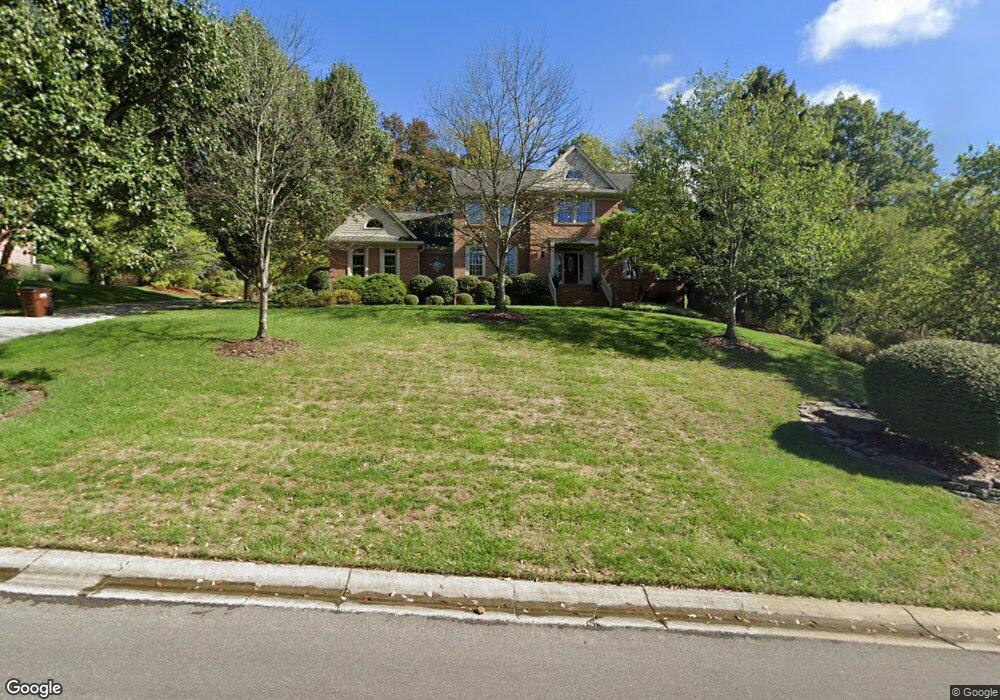
5620 Brookstone Dr Cincinnati, OH 45230
Salem Heights NeighborhoodEstimated Value: $871,000 - $931,000
4
Beds
6
Baths
4,955
Sq Ft
$180/Sq Ft
Est. Value
About This Home
This home is located at 5620 Brookstone Dr, Cincinnati, OH 45230 and is currently estimated at $893,318, approximately $180 per square foot. 5620 Brookstone Dr is a home located in Hamilton County with nearby schools including Sherwood Elementary School, Nagel Middle School, and Anderson High School.
Ownership History
Date
Name
Owned For
Owner Type
Purchase Details
Closed on
Jul 18, 2003
Sold by
Kanir James E and Kanir Karen S
Bought by
Mitchell Robert W and Mitchell Nancy J
Current Estimated Value
Home Financials for this Owner
Home Financials are based on the most recent Mortgage that was taken out on this home.
Original Mortgage
$412,500
Interest Rate
5.3%
Mortgage Type
Unknown
Purchase Details
Closed on
Jun 22, 2000
Sold by
Vernon Boothby C and Vernon Joan C
Bought by
Kanir James E and Kanir Karen S
Home Financials for this Owner
Home Financials are based on the most recent Mortgage that was taken out on this home.
Original Mortgage
$414,000
Interest Rate
7.8%
Create a Home Valuation Report for This Property
The Home Valuation Report is an in-depth analysis detailing your home's value as well as a comparison with similar homes in the area
Home Values in the Area
Average Home Value in this Area
Purchase History
| Date | Buyer | Sale Price | Title Company |
|---|---|---|---|
| Mitchell Robert W | $635,000 | -- | |
| Kanir James E | $517,500 | -- |
Source: Public Records
Mortgage History
| Date | Status | Borrower | Loan Amount |
|---|---|---|---|
| Closed | Mitchell Robert W | $412,500 | |
| Previous Owner | Kanir James E | $414,000 | |
| Closed | Kanir James E | $100,000 | |
| Closed | Mitchell Robert W | $150,000 |
Source: Public Records
Tax History Compared to Growth
Tax History
| Year | Tax Paid | Tax Assessment Tax Assessment Total Assessment is a certain percentage of the fair market value that is determined by local assessors to be the total taxable value of land and additions on the property. | Land | Improvement |
|---|---|---|---|---|
| 2024 | $14,673 | $241,616 | $44,818 | $196,798 |
| 2023 | $13,956 | $241,616 | $44,818 | $196,798 |
| 2022 | $12,289 | $189,445 | $46,039 | $143,406 |
| 2021 | $11,998 | $189,445 | $46,039 | $143,406 |
| 2020 | $12,136 | $189,445 | $46,039 | $143,406 |
| 2019 | $11,829 | $167,651 | $40,744 | $126,907 |
| 2018 | $11,080 | $167,651 | $40,744 | $126,907 |
| 2017 | $10,450 | $167,651 | $40,744 | $126,907 |
| 2016 | $11,474 | $179,894 | $41,444 | $138,450 |
| 2015 | $11,144 | $179,894 | $41,444 | $138,450 |
| 2014 | $11,151 | $179,894 | $41,444 | $138,450 |
| 2013 | $9,394 | $160,217 | $39,470 | $120,747 |
Source: Public Records
Map
Nearby Homes
- 5788 Brookstone Dr
- 1484 Apple Farm Ln
- 5750 Salem Rd
- 5802 Chestnut Ridge Dr
- 3 Salem Rd
- 2 Salem Rd
- 4 Salem Rd
- 1178 Linden Hill Ln
- 1190 Linden Hill Ln
- 1588 Moon Valley Ln
- 786 Sutton Rd
- 770 Sutton Rd
- 1 Salem Rd
- 966 Sutton Rd
- 6065 Salem Rd
- 6067 Salem Rd
- 1508 Beth Ln
- 6168 Thole Rd
- 1549 Sutton Ave
- 1559 Brandon Ave
- 5630 Brookstone Dr
- 5606 Brookstone Dr
- 5619 Brookstone Dr
- 5675 Salem Rd
- 5607 Brookstone Dr
- 1260 Apple Hill Rd
- 5629 Brookstone Dr
- 1256 Coventry Woods Dr
- 5668 Brookstone Dr
- 1254 Coventry Woods Dr
- 1196 Apple Hill Rd
- 5670 Brookstone Dr
- 1192 Apple Hill Rd
- 1258 Coventry Woods Dr
- 1252 Coventry Woods Dr
- 1310 Apple Hill Rd
- 1 Apple Farm Ln
- 2 Apple Farm Ln
- 1404 Apple Farm Ln
- 5663 Salem Rd