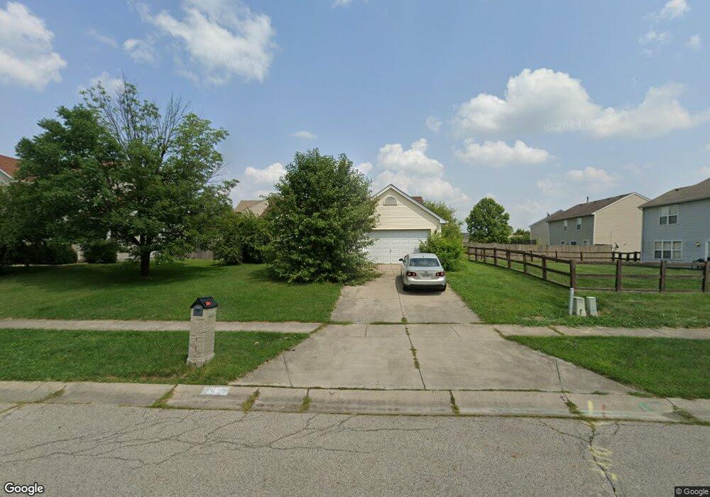
5620 Stone Path Dr Middletown, OH 45042
Sawyer's Mill NeighborhoodEstimated Value: $273,000 - $286,000
3
Beds
2
Baths
1,444
Sq Ft
$193/Sq Ft
Est. Value
About This Home
This home is located at 5620 Stone Path Dr, Middletown, OH 45042 and is currently estimated at $279,149, approximately $193 per square foot. 5620 Stone Path Dr is a home located in Warren County with nearby schools including Franklin High School, Summit Academy Community School for Alternative Learners - Middletown, and Summit Academy Secondary School - Middletown.
Ownership History
Date
Name
Owned For
Owner Type
Purchase Details
Closed on
May 14, 2012
Sold by
Johnson Oneata F
Bought by
King Cheryl A and King Cherly Ann
Current Estimated Value
Home Financials for this Owner
Home Financials are based on the most recent Mortgage that was taken out on this home.
Original Mortgage
$91,910
Outstanding Balance
$62,678
Interest Rate
3.87%
Mortgage Type
FHA
Estimated Equity
$216,471
Purchase Details
Closed on
Apr 19, 2001
Sold by
Cristo Group Inc
Bought by
King Virginia L
Purchase Details
Closed on
Jan 3, 2001
Sold by
Adam Cristo Inc
Bought by
Cristo Group Inc
Home Financials for this Owner
Home Financials are based on the most recent Mortgage that was taken out on this home.
Original Mortgage
$1,500,000
Interest Rate
7.77%
Mortgage Type
New Conventional
Create a Home Valuation Report for This Property
The Home Valuation Report is an in-depth analysis detailing your home's value as well as a comparison with similar homes in the area
Home Values in the Area
Average Home Value in this Area
Purchase History
| Date | Buyer | Sale Price | Title Company |
|---|---|---|---|
| King Cheryl A | -- | All Points Title | |
| King Virginia L | $121,525 | -- | |
| Cristo Group Inc | $59,000 | -- |
Source: Public Records
Mortgage History
| Date | Status | Borrower | Loan Amount |
|---|---|---|---|
| Open | King Cheryl A | $91,910 | |
| Previous Owner | Cristo Group Inc | $1,500,000 |
Source: Public Records
Tax History
| Year | Tax Paid | Tax Assessment Tax Assessment Total Assessment is a certain percentage of the fair market value that is determined by local assessors to be the total taxable value of land and additions on the property. | Land | Improvement |
|---|---|---|---|---|
| 2025 | $3,300 | $70,780 | $21,000 | $49,780 |
| 2024 | $3,300 | $70,780 | $21,000 | $49,780 |
| 2023 | $2,793 | $55,009 | $10,762 | $44,247 |
| 2022 | $2,735 | $55,010 | $10,763 | $44,247 |
| 2021 | $2,567 | $55,010 | $10,763 | $44,247 |
| 2020 | $2,333 | $44,723 | $8,750 | $35,973 |
| 2019 | $2,116 | $44,723 | $8,750 | $35,973 |
| 2018 | $2,120 | $44,723 | $8,750 | $35,973 |
| 2017 | $2,074 | $40,264 | $7,536 | $32,729 |
| 2016 | $2,120 | $40,264 | $7,536 | $32,729 |
| 2015 | $2,120 | $40,264 | $7,536 | $32,729 |
| 2014 | $2,110 | $39,090 | $7,320 | $31,780 |
| 2013 | $1,795 | $46,760 | $8,750 | $38,010 |
Source: Public Records
Map
Nearby Homes
- 6006 Tributary Park
- 6777 Crystal Harbour Dr
- 6891 Riverview Ave
- 6759 Manchester Rd
- 5019 Waterford Dr
- 5019 Waterford Ln
- 5017 Waterford Ln
- 4822 Shannon Way
- 5865 Hayden Dr
- 5013 Waterford Ln
- 4822 Riverview Ave
- 1924 Tipperary Dr
- 4827 Riverview Ave Unit 16
- 4823 Beechwood Ln Unit 28
- 6633 Rivulet Dr
- 1514 N Marshall Rd
- 4822 Miller Rd
- 4608 Manchester Rd
- 4524 Manchester Rd
- 1600 Woodhall Ct
- 5640 Stone Path Dr
- 6970 Stone Path Ct
- 6961 Kilkerry Ct
- 6962 Stone Path Ct
- 6956 Stone Path Ct
- 5615 Stone Path Dr
- 6957 Kilkerry Ct
- 5635 Stone Path Dr
- 5605 Stone Path Dr
- 5660 Stone Path Dr
- 5585 Stone Path Dr
- 6953 Kilkerry Ct
- 6950 Stone Path Ct
- 5560 Stone Path Dr
- 6950 Kilkerry Ct
- 5575 Stone Path Dr
- 5665 Stone Path Dr
- 5016 Kilkerry Dr
- 6955 Fielders Way
- 5680 Stone Path Dr
Your Personal Tour Guide
Ask me questions while you tour the home.