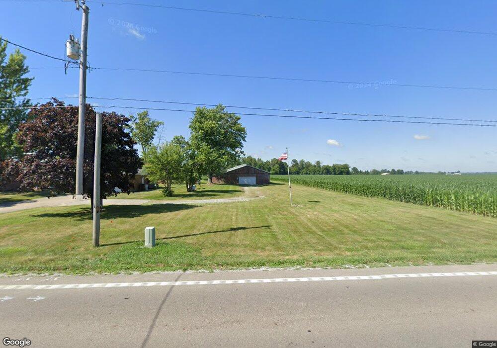
5620 W State Route 41 Covington, OH 45318
Estimated Value: $304,000 - $340,000
4
Beds
2
Baths
1,920
Sq Ft
$169/Sq Ft
Est. Value
About This Home
This home is located at 5620 W State Route 41, Covington, OH 45318 and is currently estimated at $324,703, approximately $169 per square foot. 5620 W State Route 41 is a home located in Miami County with nearby schools including Covington Elementary/Junior High School, Covington Junior High School, and Covington High School.
Ownership History
Date
Name
Owned For
Owner Type
Purchase Details
Closed on
Mar 21, 2000
Sold by
Smith Craig R and Smith Angela L
Bought by
Knick James B
Current Estimated Value
Home Financials for this Owner
Home Financials are based on the most recent Mortgage that was taken out on this home.
Original Mortgage
$175,100
Outstanding Balance
$59,386
Interest Rate
8.3%
Mortgage Type
VA
Estimated Equity
$265,317
Purchase Details
Closed on
Aug 2, 1993
Bought by
Smith Craig R
Create a Home Valuation Report for This Property
The Home Valuation Report is an in-depth analysis detailing your home's value as well as a comparison with similar homes in the area
Home Values in the Area
Average Home Value in this Area
Purchase History
| Date | Buyer | Sale Price | Title Company |
|---|---|---|---|
| Knick James B | $170,000 | -- | |
| Smith Craig R | $113,000 | -- |
Source: Public Records
Mortgage History
| Date | Status | Borrower | Loan Amount |
|---|---|---|---|
| Open | Knick James B | $175,100 |
Source: Public Records
Tax History Compared to Growth
Tax History
| Year | Tax Paid | Tax Assessment Tax Assessment Total Assessment is a certain percentage of the fair market value that is determined by local assessors to be the total taxable value of land and additions on the property. | Land | Improvement |
|---|---|---|---|---|
| 2024 | $3,391 | $82,290 | $29,230 | $53,060 |
| 2023 | $3,391 | $82,290 | $29,230 | $53,060 |
| 2022 | $3,582 | $82,290 | $29,230 | $53,060 |
| 2021 | $3,582 | $68,570 | $24,360 | $44,210 |
| 2020 | $3,177 | $68,570 | $24,360 | $44,210 |
| 2019 | $2,758 | $68,570 | $24,360 | $44,210 |
| 2018 | $1,928 | $56,560 | $20,300 | $36,260 |
| 2017 | $1,969 | $56,560 | $20,300 | $36,260 |
| 2016 | $1,935 | $56,560 | $20,300 | $36,260 |
| 2015 | $1,893 | $54,390 | $19,530 | $34,860 |
| 2014 | $1,893 | $54,390 | $19,530 | $34,860 |
| 2013 | $1,903 | $54,390 | $19,530 | $34,860 |
Source: Public Records
Map
Nearby Homes
- 219 Henry Ct
- 221 Henry Ct
- 207 Charles Ct
- 212 Charles Ct
- 210 Charles Ct
- 205 Charles Ct
- 208 Charles Ct
- 201 Charles Ct
- 203 Charles Ct
- 206 Charles Ct
- 204 Charles Ct
- 200 Charles Ct
- 202 Charles Ct
- 126 S Ludlow St
- 300 Debra St
- 536 S High St
- 115 N Wenrick St
- 4400 N Washington Rd
- 221 S High St
- 447 E Broadway St
- 5590 W State Route 41
- 5611 W State Route 41
- 5593 W State Route 41
- 3666 N Martin Rd
- 5645 W Myers Rd
- 5665 W Myers Rd
- 5685 W Myers Rd
- 5733 W Myers Rd
- 5785 W Myers Rd
- 5711 W Myers Rd
- 5821 W State Route 41
- 5825 W Myers Rd
- 3510 N Martin Rd
- 5855 W Myers Rd
- 5875 W Myers Rd
- 5925 W Myers Rd
- 5905 W State Route 41
- 5945 W Myers Rd
- 5930 W State Route 41
- 5910 W State Route 41