5621 Georgetown Rd Broad Run, VA 20137
Estimated Value: $772,000 - $810,000
3
Beds
3
Baths
2,329
Sq Ft
$340/Sq Ft
Est. Value
About This Home
This home is located at 5621 Georgetown Rd, Broad Run, VA 20137 and is currently estimated at $791,096, approximately $339 per square foot. 5621 Georgetown Rd is a home located in Fauquier County with nearby schools including W.G. Coleman Elementary School, Marshall Middle School, and Kettle Run High School.
Ownership History
Date
Name
Owned For
Owner Type
Purchase Details
Closed on
May 29, 2009
Sold by
Wood Llewellyn
Bought by
Partain Joseph S
Current Estimated Value
Home Financials for this Owner
Home Financials are based on the most recent Mortgage that was taken out on this home.
Original Mortgage
$282,300
Outstanding Balance
$179,321
Interest Rate
4.87%
Mortgage Type
New Conventional
Estimated Equity
$611,775
Create a Home Valuation Report for This Property
The Home Valuation Report is an in-depth analysis detailing your home's value as well as a comparison with similar homes in the area
Home Values in the Area
Average Home Value in this Area
Purchase History
| Date | Buyer | Sale Price | Title Company |
|---|---|---|---|
| Partain Joseph S | $352,900 | -- |
Source: Public Records
Mortgage History
| Date | Status | Borrower | Loan Amount |
|---|---|---|---|
| Open | Partain Joseph S | $282,300 |
Source: Public Records
Tax History Compared to Growth
Tax History
| Year | Tax Paid | Tax Assessment Tax Assessment Total Assessment is a certain percentage of the fair market value that is determined by local assessors to be the total taxable value of land and additions on the property. | Land | Improvement |
|---|---|---|---|---|
| 2025 | $5,846 | $604,600 | $180,200 | $424,400 |
| 2024 | $5,715 | $604,600 | $180,200 | $424,400 |
| 2023 | $5,473 | $604,600 | $180,200 | $424,400 |
| 2022 | $5,473 | $604,600 | $180,200 | $424,400 |
| 2021 | $4,676 | $469,000 | $167,700 | $301,300 |
| 2020 | $4,676 | $469,000 | $167,700 | $301,300 |
| 2019 | $4,676 | $469,000 | $167,700 | $301,300 |
| 2018 | $4,419 | $448,600 | $167,700 | $280,900 |
| 2016 | $4,213 | $404,200 | $167,700 | $236,500 |
| 2015 | -- | $408,200 | $167,700 | $240,500 |
| 2014 | -- | $398,200 | $167,700 | $230,500 |
Source: Public Records
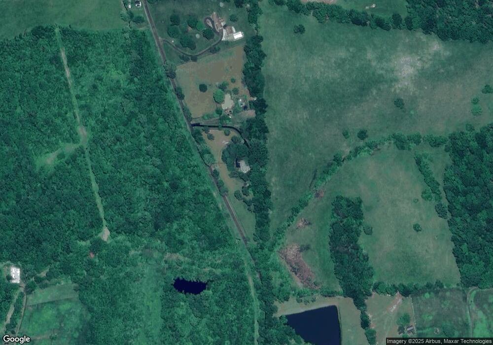
Map
Nearby Homes
- 5377 Colt Dr
- 5065 Country Creek Ln
- 5168 Sandy Stone Ln
- HAMPSHIRE Plan at Wooded Run Estates
- JAMESTOWN Plan at Wooded Run Estates
- 5084 Fairview Ln
- 7838 Holston Ln
- 7844 Holston Ln
- 9130 Kingston Rd
- 9155 Kingston Rd
- 5233 Lee Hwy
- 5355 Hillside Dr
- 6245 Squirrel Nest Ln
- 6575 Valley Dr
- 4545 Lee Hwy
- 0 Valley Dr Unit VAFQ2019714
- 0 Valley Dr Unit VAFQ2019744
- 6241 Deborah Dr
- 6735 Beverly Rd
- 4825 Stonefield Ln
- 5599 Georgetown Rd
- 5575 Georgetown Rd
- 5654 Georgetown Rd
- 5392 Brunswick Ln
- 5364 Brunswick Ln
- 0 Brunswick Ln Unit 1001636927
- 0 Brunswick Ln Unit 1001320183
- 5373 Brunswick Ln
- 5755 Hunton Wood Dr
- 5336 Brunswick Ln
- 5773 Hunton Wood Dr
- 5701 Hunton Wood Dr
- 5735 Hunton Wood Dr
- 5357 Brunswick Ln
- 5800 Hunton Wood Dr
- 5787 Hunton Wood Dr
- 5723 Hunton Wood Dr
- 5799 Hunton Wood Dr
- 5753 Georgetown Rd
- 5816 Hunton Wood Dr