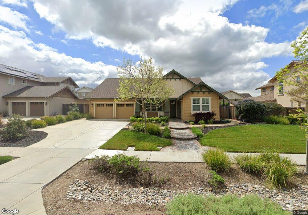
5625 Stockton Loop Livermore, CA 94550
Estimated Value: $1,703,828 - $2,228,000
4
Beds
3
Baths
2,573
Sq Ft
$763/Sq Ft
Est. Value
About This Home
This home is located at 5625 Stockton Loop, Livermore, CA 94550 and is currently estimated at $1,963,957, approximately $763 per square foot. 5625 Stockton Loop is a home with nearby schools including Arroyo Seco Elementary School, East Avenue Middle School, and Livermore High School.
Ownership History
Date
Name
Owned For
Owner Type
Purchase Details
Closed on
Jun 23, 2011
Sold by
South Livermore Development Company
Bought by
Honig John and Honig Mary Beth
Current Estimated Value
Home Financials for this Owner
Home Financials are based on the most recent Mortgage that was taken out on this home.
Original Mortgage
$600,000
Outstanding Balance
$40,647
Interest Rate
4.54%
Mortgage Type
New Conventional
Estimated Equity
$1,923,310
Create a Home Valuation Report for This Property
The Home Valuation Report is an in-depth analysis detailing your home's value as well as a comparison with similar homes in the area
Purchase History
| Date | Buyer | Sale Price | Title Company |
|---|---|---|---|
| Honig John | $773,500 | Chicago Title Company |
Source: Public Records
Mortgage History
| Date | Status | Borrower | Loan Amount |
|---|---|---|---|
| Open | Honig John | $600,000 |
Source: Public Records
Tax History
| Year | Tax Paid | Tax Assessment Tax Assessment Total Assessment is a certain percentage of the fair market value that is determined by local assessors to be the total taxable value of land and additions on the property. | Land | Improvement |
|---|---|---|---|---|
| 2025 | $12,655 | $964,256 | $339,996 | $631,260 |
| 2024 | $12,655 | $945,217 | $333,331 | $618,886 |
| 2023 | $12,464 | $933,550 | $326,797 | $606,753 |
| 2022 | $12,261 | $908,246 | $320,389 | $594,857 |
| 2021 | $11,292 | $890,305 | $314,109 | $583,196 |
| 2020 | $11,674 | $888,111 | $310,890 | $577,221 |
| 2019 | $11,811 | $870,704 | $304,797 | $565,907 |
| 2018 | $11,520 | $853,638 | $298,823 | $554,815 |
| 2017 | $11,151 | $836,903 | $292,965 | $543,938 |
| 2016 | $10,797 | $820,493 | $287,220 | $533,273 |
| 2015 | $10,161 | $808,175 | $282,908 | $525,267 |
| 2014 | $9,997 | $792,346 | $277,367 | $514,979 |
Source: Public Records
Map
Nearby Homes
- 5454 Stockton Loop
- 5143 Tesla Rd
- 5590 Hopps Ln
- 4669 Almond Cir
- 5218 Norma Way
- 1368 Pegan Common
- 2779 Silverado Ct
- 1762 Cheryl Dr
- 1411 Justine Ct
- 4115 Freeda Ct
- 838 Hazel St
- 732 Hazel St
- 973 Jessica Dr
- 4844 Mulqueeney Common
- 1147 Rebecca Dr
- 337 Chris Common Unit 111
- 4671 Laurie Common Unit 105
- 4671 Laurie Common Unit 103
- 3910 East Ave
- 6741 Tesla Rd
- 5633 Stockton Loop
- 5611 Stockton Loop
- 2778 Cooper Cir
- 2562 Cooper Cir
- 2740 Cooper Cir
- 5614 Stockton Loop
- 5630 Stockton Loop
- 2570 Cooper Cir
- 5608 Stockton Loop
- 5648 Stockton Loop
- 2795 Cooper Cir
- 2781 Cooper Cir
- 2505 Cooper Cir
- 2763 Cooper Cir
- 2527 Cooper Cir
- 2559 Cooper Cir
- 5586 Stockton Loop
- 2664 Cooper Cir
- 2602 Cooper Cir
- 2688 Cooper Cir
Your Personal Tour Guide
Ask me questions while you tour the home.