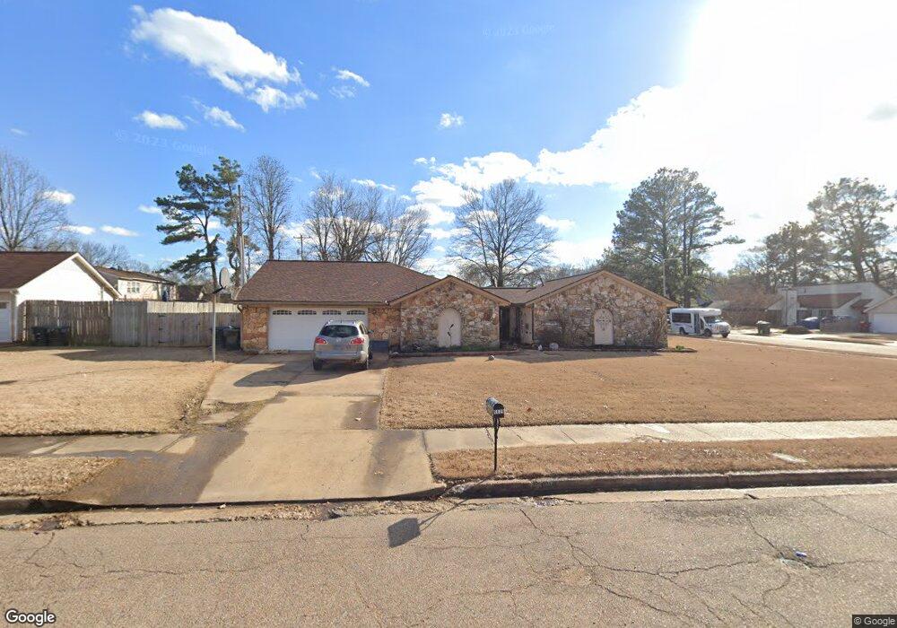
5629 Elmore Rd Memphis, TN 38134
Estimated Value: $233,000 - $256,000
4
Beds
3
Baths
1,792
Sq Ft
$137/Sq Ft
Est. Value
About This Home
This home is located at 5629 Elmore Rd, Memphis, TN 38134 and is currently estimated at $245,000, approximately $136 per square foot. 5629 Elmore Rd is a home located in Shelby County with nearby schools including Altruria Elementary School, Elmore Park Middle School, and Bartlett High School.
Ownership History
Date
Name
Owned For
Owner Type
Purchase Details
Closed on
Jul 6, 1999
Sold by
Swilley Robert H and Swilley Leslie
Bought by
Clements Thomas G and Clements Kimberly A
Current Estimated Value
Home Financials for this Owner
Home Financials are based on the most recent Mortgage that was taken out on this home.
Original Mortgage
$121,002
Outstanding Balance
$32,277
Interest Rate
7.43%
Mortgage Type
FHA
Estimated Equity
$212,723
Purchase Details
Closed on
May 24, 1996
Sold by
Thomas J C and Thomas Celestine V
Bought by
Swilley Robert H and Swilley Leslie
Home Financials for this Owner
Home Financials are based on the most recent Mortgage that was taken out on this home.
Original Mortgage
$107,650
Interest Rate
8.05%
Mortgage Type
FHA
Create a Home Valuation Report for This Property
The Home Valuation Report is an in-depth analysis detailing your home's value as well as a comparison with similar homes in the area
Home Values in the Area
Average Home Value in this Area
Purchase History
| Date | Buyer | Sale Price | Title Company |
|---|---|---|---|
| Clements Thomas G | $122,000 | Stewart Title Company | |
| Clements Thomas G | $122,000 | Stewart Title Company | |
| Swilley Robert H | $107,500 | -- | |
| Swilley Robert H | $107,500 | -- |
Source: Public Records
Mortgage History
| Date | Status | Borrower | Loan Amount |
|---|---|---|---|
| Open | Clements Thomas G | $121,002 | |
| Closed | Clements Thomas G | $121,002 | |
| Previous Owner | Swilley Robert H | $107,650 |
Source: Public Records
Tax History
| Year | Tax Paid | Tax Assessment Tax Assessment Total Assessment is a certain percentage of the fair market value that is determined by local assessors to be the total taxable value of land and additions on the property. | Land | Improvement |
|---|---|---|---|---|
| 2025 | $1,504 | $58,375 | $13,750 | $44,625 |
| 2024 | $1,429 | $44,375 | $8,825 | $35,550 |
| 2023 | $2,272 | $44,375 | $8,825 | $35,550 |
| 2022 | $2,272 | $44,375 | $8,825 | $35,550 |
| 2021 | $2,308 | $44,375 | $8,825 | $35,550 |
| 2020 | $2,070 | $35,200 | $6,625 | $28,575 |
| 2019 | $2,070 | $35,200 | $6,625 | $28,575 |
| 2018 | $2,070 | $35,200 | $6,625 | $28,575 |
| 2017 | $1,447 | $35,200 | $6,625 | $28,575 |
| 2016 | $1,289 | $29,500 | $0 | $0 |
| 2014 | $1,289 | $29,500 | $0 | $0 |
Source: Public Records
Map
Nearby Homes
- 2455 Barbaro Dr
- 2373 W Monica Dr
- 5623 Magnolia Woods Dr
- 5795 S Lake Oaks Dr
- 2534 Bartlett Blvd
- 5994 Elmore Rd
- 5595 Raleigh Lagrange Rd
- 2426 Lacosta Dr
- 5621 Sweet Gum Dr
- 2058 Olive Bark Cove
- 5862 Sweet Oak Cove
- 2050 Olive Bark Cove
- 2034 Olive Bark Dr
- 5335 Rock Ridge Cove
- 2111 Rock Ridge Rd
- 5647 Falling Bark Dr
- 2623 Surrey Wood Dr
- 5355 Rock Ridge Rd S
- 5616 Falling Bark Dr
- 2699 Stage Park Dr
- 2382 Champaign St
- 5641 Elmore Rd
- 2381 Pagely Place
- 2374 Champaign St
- 5609 Elmore Rd
- 2373 Pagely Place
- 5624 Elmore Rd
- 5632 Elmore Rd
- 2373 Champaign St
- 2366 Champaign St
- 5614 Elmore Rd
- 5642 Elmore Rd
- 2365 Pagely Place
- 5599 Elmore Rd
- 5659 Elmore Rd
- 5606 Elmore Rd
- 2384 Barbaro Dr
- 2380 Pagely Place
- 2358 Champaign St
- 2376 Barbaro Dr
Your Personal Tour Guide
Ask me questions while you tour the home.