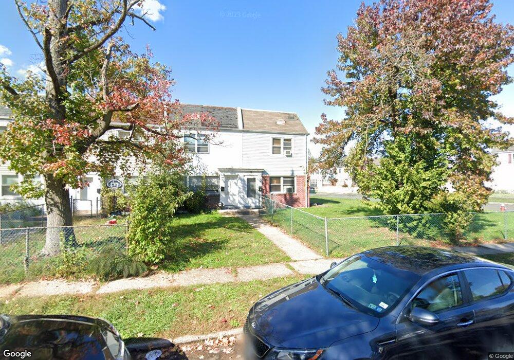
5629 Mitchell Rd Levittown, PA 19057
Estimated Value: $118,000 - $205,000
3
Beds
2
Baths
900
Sq Ft
$188/Sq Ft
Est. Value
About This Home
This home is located at 5629 Mitchell Rd, Levittown, PA 19057 and is currently estimated at $169,524, approximately $188 per square foot. 5629 Mitchell Rd is a home located in Bucks County with nearby schools including Truman Senior High School, First Presbyterian Church School, and Hope Lutheran School.
Ownership History
Date
Name
Owned For
Owner Type
Purchase Details
Closed on
Aug 8, 1994
Sold by
Davis Jimmie Lee and Davis Johnnie Lee
Bought by
Davis Jimmie Lee and Davis Leia M
Current Estimated Value
Home Financials for this Owner
Home Financials are based on the most recent Mortgage that was taken out on this home.
Original Mortgage
$29,566
Interest Rate
8.12%
Purchase Details
Closed on
Nov 25, 1980
Bought by
Usa Veterans Affairs,
Create a Home Valuation Report for This Property
The Home Valuation Report is an in-depth analysis detailing your home's value as well as a comparison with similar homes in the area
Home Values in the Area
Average Home Value in this Area
Purchase History
| Date | Buyer | Sale Price | Title Company |
|---|---|---|---|
| Davis Jimmie Lee | -- | -- | |
| Usa Veterans Affairs, | -- | -- |
Source: Public Records
Mortgage History
| Date | Status | Borrower | Loan Amount |
|---|---|---|---|
| Closed | Davis Jimmie Lee | $29,566 |
Source: Public Records
Tax History
| Year | Tax Paid | Tax Assessment Tax Assessment Total Assessment is a certain percentage of the fair market value that is determined by local assessors to be the total taxable value of land and additions on the property. | Land | Improvement |
|---|---|---|---|---|
| 2025 | $1,564 | $5,760 | $2,160 | $3,600 |
| 2024 | $1,564 | $5,760 | $2,160 | $3,600 |
| 2023 | $1,553 | $5,760 | $2,160 | $3,600 |
| 2022 | $1,553 | $5,760 | $2,160 | $3,600 |
| 2021 | $1,553 | $5,760 | $2,160 | $3,600 |
| 2020 | $1,553 | $5,760 | $2,160 | $3,600 |
| 2019 | $1,547 | $5,760 | $2,160 | $3,600 |
| 2018 | $1,522 | $5,760 | $2,160 | $3,600 |
| 2017 | $1,499 | $5,760 | $2,160 | $3,600 |
| 2016 | $1,499 | $5,760 | $2,160 | $3,600 |
| 2015 | $889 | $5,760 | $2,160 | $3,600 |
| 2014 | $889 | $5,760 | $2,160 | $3,600 |
Source: Public Records
Map
Nearby Homes
- 5717 Fleetwing Dr
- 1019 Green Ln
- 35 Beechtree Rd
- 5723 Atkins Ave
- 53 Pamela Ct Unit 318
- 1228 Pacific Ave
- 1210 Plymouth Ave
- 1202 Plymouth Ave
- 238 Colette Ct Unit 1311
- 10 Green Ln
- 2510 Green Ave
- 86 Wildflower Rd
- 4617 Magnolia Ave
- 5 Green Ln
- 2715 Crest Ave
- 2519 Woodlawn Dr
- 5517 Schumacher Dr
- 111 Border Rock Rd
- 56 Goldenridge Dr
- 55 Cedar Ln
- 5627 Mitchell Rd
- 5625 Mitchell Rd
- 5623 Mitchell Rd
- 5621 Mitchell Rd
- 5626 Mitchell Rd
- 5630 Mitchell Rd
- 5624 Mitchell Rd
- 5632 Mitchell Rd
- 2401 Fleetwing Dr
- 5622 Mitchell Rd
- 5620 Mitchell Rd
- 5701 Mitchell Rd
- 5703 Mitchell Rd
- 2403 Fleetwing Dr
- 5628 Mitchell Rd
- 5634 Mitchell Rd
- 2405 Fleetwing Dr
- 5705 Mitchell Rd
- 2407 Fleetwing Dr
- 2400 Fleetwing Dr
Your Personal Tour Guide
Ask me questions while you tour the home.