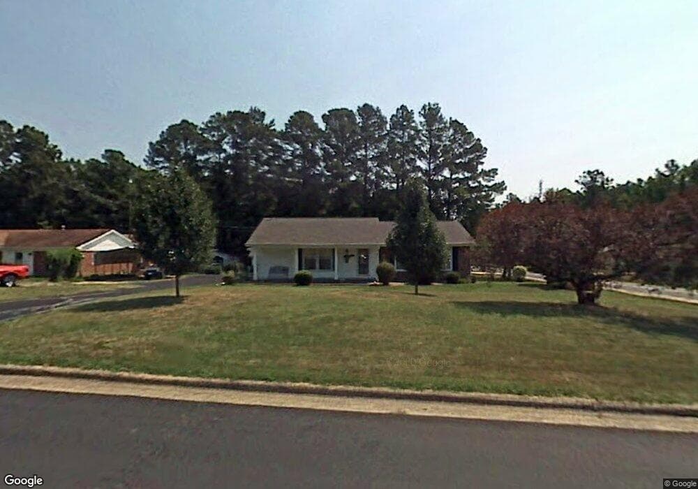
5629 Pelham Rd Durham, NC 27713
South Durham NeighborhoodEstimated Value: $403,000 - $437,424
3
Beds
2
Baths
1,768
Sq Ft
$238/Sq Ft
Est. Value
About This Home
This home is located at 5629 Pelham Rd, Durham, NC 27713 and is currently estimated at $420,606, approximately $237 per square foot. 5629 Pelham Rd is a home located in Durham County with nearby schools including Parkwood Elementary, Lowe's Grove Middle, and Hillside High School.
Ownership History
Date
Name
Owned For
Owner Type
Purchase Details
Closed on
Apr 28, 2021
Sold by
Stone Howard Eben and Stone Mary A
Bought by
Westerman Darren William
Current Estimated Value
Home Financials for this Owner
Home Financials are based on the most recent Mortgage that was taken out on this home.
Original Mortgage
$260,000
Outstanding Balance
$235,257
Interest Rate
3%
Mortgage Type
New Conventional
Estimated Equity
$185,349
Create a Home Valuation Report for This Property
The Home Valuation Report is an in-depth analysis detailing your home's value as well as a comparison with similar homes in the area
Home Values in the Area
Average Home Value in this Area
Purchase History
| Date | Buyer | Sale Price | Title Company |
|---|---|---|---|
| Westerman Darren William | $325,000 | None Available |
Source: Public Records
Mortgage History
| Date | Status | Borrower | Loan Amount |
|---|---|---|---|
| Open | Westerman Darren William | $260,000 |
Source: Public Records
Tax History
| Year | Tax Paid | Tax Assessment Tax Assessment Total Assessment is a certain percentage of the fair market value that is determined by local assessors to be the total taxable value of land and additions on the property. | Land | Improvement |
|---|---|---|---|---|
| 2025 | $4,278 | $431,533 | $134,000 | $297,533 |
| 2024 | $3,524 | $252,655 | $40,290 | $212,365 |
| 2023 | $3,310 | $252,655 | $40,290 | $212,365 |
| 2022 | $3,234 | $252,655 | $40,290 | $212,365 |
| 2021 | $3,219 | $252,655 | $40,290 | $212,365 |
| 2020 | $3,143 | $252,655 | $40,290 | $212,365 |
| 2019 | $3,143 | $252,655 | $40,290 | $212,365 |
| 2018 | $2,775 | $204,591 | $33,575 | $171,016 |
| 2017 | $2,755 | $204,591 | $33,575 | $171,016 |
| 2016 | $2,662 | $204,591 | $33,575 | $171,016 |
| 2015 | $2,907 | $209,980 | $31,277 | $178,703 |
| 2014 | $2,907 | $209,980 | $31,277 | $178,703 |
Source: Public Records
Map
Nearby Homes
- 6353 Grandale Dr
- 5504 Pelham Rd
- 7 Scenic Ct
- 124 Wicklow Ln
- 4 Green Springs Ct
- 104 Deblyn Ct
- 1510 Haventree Rd
- 1446 Clermont Rd
- 1621 Clermont Rd
- 111 Wenonah Way
- 5907 Rustic Wood Ln
- 109 Settlers Mill Ln
- 1304 Seaton Rd Unit 2
- 1010 Sturbridge Dr
- 1509 Clermont Rd Unit T27
- 1509 Clermont Rd Unit T24
- 43 Redbud Ct
- 7 Monteith Ct
- 1 Haycox Ct
- 7 Travis Cir
- 5625 Pelham Rd
- 1217 Sedwick Rd
- 1210 Sedwick Rd
- 5703 Grandale Dr
- 1220 Sedwick Rd
- 5628 Pelham Rd
- 5624 Pelham Rd
- 5617 Pelham Rd
- 5620 Pelham Rd
- 1232 Sedwick Rd
- 5616 Pelham Rd
- 5614 Pelham Rd
- 5628 Grandale Dr
- 5622 Grandale Dr
- 5622 Grandale Dr
- 5622 Grandale Dr
- 5610 Pelham Rd
- 5715 Grandale Dr
- 5605 Pelham Rd
- 1120 Sedwick Rd W
Your Personal Tour Guide
Ask me questions while you tour the home.