563 Manns Harbor Dr Apollo Beach, FL 33572
Estimated Value: $601,000 - $861,000
4
Beds
4
Baths
3,093
Sq Ft
$242/Sq Ft
Est. Value
About This Home
This home is located at 563 Manns Harbor Dr, Apollo Beach, FL 33572 and is currently estimated at $749,908, approximately $242 per square foot. 563 Manns Harbor Dr is a home with nearby schools including Apollo Beach Elementary School, Eisenhower Middle School, and Lennard High School.
Ownership History
Date
Name
Owned For
Owner Type
Purchase Details
Closed on
Mar 30, 2012
Sold by
Homes By West Bay Llc
Bought by
Shreve Jacob M and Shreve Stephanie S
Current Estimated Value
Home Financials for this Owner
Home Financials are based on the most recent Mortgage that was taken out on this home.
Original Mortgage
$265,197
Outstanding Balance
$183,001
Interest Rate
3.89%
Mortgage Type
New Conventional
Estimated Equity
$566,907
Purchase Details
Closed on
Oct 28, 2011
Sold by
Terrabrook Apollo Beach Lp
Bought by
Homes By West Bay Llc
Create a Home Valuation Report for This Property
The Home Valuation Report is an in-depth analysis detailing your home's value as well as a comparison with similar homes in the area
Home Values in the Area
Average Home Value in this Area
Purchase History
| Date | Buyer | Sale Price | Title Company |
|---|---|---|---|
| Shreve Jacob M | $331,500 | Hillsborough Title Llc | |
| Homes By West Bay Llc | $60,600 | Attorney |
Source: Public Records
Mortgage History
| Date | Status | Borrower | Loan Amount |
|---|---|---|---|
| Open | Shreve Jacob M | $265,197 |
Source: Public Records
Tax History Compared to Growth
Tax History
| Year | Tax Paid | Tax Assessment Tax Assessment Total Assessment is a certain percentage of the fair market value that is determined by local assessors to be the total taxable value of land and additions on the property. | Land | Improvement |
|---|---|---|---|---|
| 2024 | $10,521 | $374,642 | -- | -- |
| 2023 | $10,309 | $363,730 | $0 | $0 |
| 2022 | $10,144 | $353,136 | $0 | $0 |
| 2021 | $9,818 | $342,850 | $0 | $0 |
| 2020 | $9,712 | $338,116 | $0 | $0 |
| 2019 | $9,232 | $330,514 | $0 | $0 |
| 2018 | $9,532 | $324,351 | $0 | $0 |
| 2017 | $9,087 | $364,238 | $0 | $0 |
| 2016 | $8,191 | $280,635 | $0 | $0 |
| 2015 | $8,315 | $278,684 | $0 | $0 |
| 2014 | $8,410 | $276,472 | $0 | $0 |
| 2013 | -- | $278,371 | $0 | $0 |
Source: Public Records
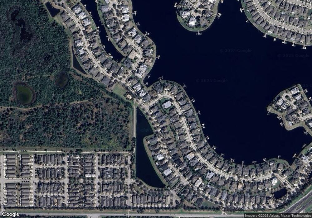
Map
Nearby Homes
- 527 Manns Harbor Dr
- 5405 Merritt Island Dr
- 5227 Admiral Pointe Dr
- 623 Winterside Dr
- 513 Manns Harbor Dr
- 624 Winterside Dr
- 707 Winterside Dr
- 5212 Brighton Shore Dr
- 610 Winterside Dr
- 705 Winterside Dr
- 5205 Brighton Shore Dr
- 5405 Tybee Island Dr
- 706 Manns Harbor Dr
- 212 Shell Creek Ct
- 5408 Tybee Island Dr
- 5307 Wishing Arch Dr
- 729 Winterside Dr
- 708 Manns Harbor Dr
- 5125 Admiral Pointe Dr
- 407 Sandsend Ct
- 579 Manns Harbour Dr
- 559 Manns Harbor Dr
- 603 Manns Harbor Dr
- 5252 Brighton Shore Dr
- 5261 Brighton Shore Dr
- 564 Manns Harbour Dr
- 557 Manns Harbor Dr
- 605 Manns Harbor Dr
- 5250 Brighton Shore Dr
- 5259 Brighton Shore Dr
- 5248 Brighton Shore Dr
- 555 Manns Harbor Dr
- 607 Manns Harbor Dr
- 5257 Brighton Shore Dr
- 553 Manns Harbor Dr
- 554 Manns Harbor Dr
- 5255 Brighton Shore Dr
- 5251 Brighton Shore Dr