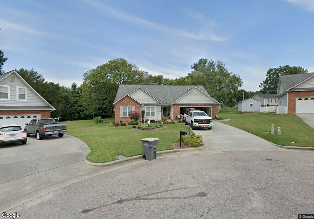
563 Marigold Dr Kannapolis, NC 28083
Estimated Value: $364,390 - $427,000
4
Beds
3
Baths
2,073
Sq Ft
$195/Sq Ft
Est. Value
About This Home
This home is located at 563 Marigold Dr, Kannapolis, NC 28083 and is currently estimated at $403,848, approximately $194 per square foot. 563 Marigold Dr is a home located in Cabarrus County with nearby schools including Forest Park Elementary School, Kannapolis Middle, and A.L. Brown High School.
Ownership History
Date
Name
Owned For
Owner Type
Purchase Details
Closed on
Jul 20, 2009
Sold by
Kannapolis Real Estate Agency Inc
Bought by
Benfield Ann Conrad
Current Estimated Value
Home Financials for this Owner
Home Financials are based on the most recent Mortgage that was taken out on this home.
Original Mortgage
$145,200
Outstanding Balance
$94,574
Interest Rate
5.27%
Mortgage Type
Purchase Money Mortgage
Estimated Equity
$309,274
Purchase Details
Closed on
Dec 1, 1995
Bought by
Kannapolis Real Estate Agency
Create a Home Valuation Report for This Property
The Home Valuation Report is an in-depth analysis detailing your home's value as well as a comparison with similar homes in the area
Home Values in the Area
Average Home Value in this Area
Purchase History
| Date | Buyer | Sale Price | Title Company |
|---|---|---|---|
| Benfield Ann Conrad | $204,000 | None Available | |
| Kannapolis Real Estate Agency | -- | -- |
Source: Public Records
Mortgage History
| Date | Status | Borrower | Loan Amount |
|---|---|---|---|
| Open | Benfield Ann Conrad | $145,200 |
Source: Public Records
Tax History Compared to Growth
Tax History
| Year | Tax Paid | Tax Assessment Tax Assessment Total Assessment is a certain percentage of the fair market value that is determined by local assessors to be the total taxable value of land and additions on the property. | Land | Improvement |
|---|---|---|---|---|
| 2025 | $3,813 | $335,810 | $51,000 | $284,810 |
| 2024 | $3,813 | $335,810 | $51,000 | $284,810 |
| 2023 | $3,270 | $238,660 | $33,000 | $205,660 |
| 2022 | $3,270 | $238,660 | $33,000 | $205,660 |
| 2021 | $3,270 | $238,660 | $33,000 | $205,660 |
| 2020 | $3,270 | $238,660 | $33,000 | $205,660 |
| 2019 | $2,665 | $194,500 | $22,000 | $172,500 |
| 2018 | $2,626 | $194,500 | $22,000 | $172,500 |
| 2017 | $2,587 | $194,500 | $22,000 | $172,500 |
| 2016 | $2,587 | $195,410 | $25,000 | $170,410 |
| 2015 | $2,462 | $195,410 | $25,000 | $170,410 |
| 2014 | $2,462 | $195,410 | $25,000 | $170,410 |
Source: Public Records
Map
Nearby Homes
- 503 Eddleman Rd
- 614 Breckenridge Rd Unit 17
- 302 Suburban Ave
- 303 Odell St
- 111 Landmark Dr
- 210 Brook St
- 103 Crescent St
- 709 Carson Ct
- 1500 S Ridge Ave
- 1013 Kansas St Unit B
- 1013 Kansas St Unit A
- 617 Peace Haven Rd
- 505 Rogers Lake Rd E
- 2116 S Main St
- 2301 S Ridge Ave
- 103 Carriage House Dr
- 105 Ashmont Dr Unit 1
- 1589 Matthew Allen Cir
- 1010 Tennessee St
- 300 Cook St
- 557 Marigold Dr
- 571 Marigold Dr
- 579 Marigold Dr Unit Lot 26
- 577 Sumner St
- 600 Sumner St
- 595 Sumner St
- 587 Marigold Dr
- 564 Marigold Dr
- 1708 Pickwick Ave
- 601 Sumner St
- 572 Marigold Dr
- 595 Marigold Dr
- 580 Marigold Dr Unit Lot 19
- 588 Marigold Dr
- 596 Marigold Dr
- 596 Marigold Dr Unit Lot 17
- 603 Sumner St
- 1701 Pickwick Ave
- 1709 Pickwick Ave
- 604 Marigold Dr