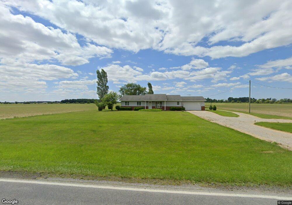
5631 County Road 11 Wauseon, OH 43567
Estimated Value: $262,815 - $320,000
3
Beds
2
Baths
1,595
Sq Ft
$178/Sq Ft
Est. Value
About This Home
This home is located at 5631 County Road 11, Wauseon, OH 43567 and is currently estimated at $284,204, approximately $178 per square foot. 5631 County Road 11 is a home located in Fulton County with nearby schools including Wauseon Primary School, Wauseon Elementary School, and Wauseon Middle School.
Ownership History
Date
Name
Owned For
Owner Type
Purchase Details
Closed on
Apr 14, 1995
Sold by
Reynolds Timothy J
Bought by
Witte David P
Current Estimated Value
Home Financials for this Owner
Home Financials are based on the most recent Mortgage that was taken out on this home.
Original Mortgage
$58,000
Interest Rate
8.55%
Mortgage Type
New Conventional
Purchase Details
Closed on
Jan 1, 1990
Bought by
Witte David P
Create a Home Valuation Report for This Property
The Home Valuation Report is an in-depth analysis detailing your home's value as well as a comparison with similar homes in the area
Home Values in the Area
Average Home Value in this Area
Purchase History
| Date | Buyer | Sale Price | Title Company |
|---|---|---|---|
| Witte David P | $113,000 | -- | |
| Witte David P | -- | -- |
Source: Public Records
Mortgage History
| Date | Status | Borrower | Loan Amount |
|---|---|---|---|
| Closed | Witte David P | $58,000 |
Source: Public Records
Tax History Compared to Growth
Tax History
| Year | Tax Paid | Tax Assessment Tax Assessment Total Assessment is a certain percentage of the fair market value that is determined by local assessors to be the total taxable value of land and additions on the property. | Land | Improvement |
|---|---|---|---|---|
| 2024 | $3,322 | $71,410 | $9,000 | $62,410 |
| 2023 | $3,325 | $71,410 | $9,000 | $62,410 |
| 2022 | $3,124 | $57,400 | $7,490 | $49,910 |
| 2021 | $3,293 | $57,400 | $7,490 | $49,910 |
| 2020 | $3,053 | $57,400 | $7,490 | $49,910 |
| 2019 | $2,779 | $51,800 | $7,350 | $44,450 |
| 2018 | $2,453 | $51,800 | $7,350 | $44,450 |
| 2017 | $2,397 | $51,800 | $7,350 | $44,450 |
| 2016 | $2,331 | $45,010 | $7,350 | $37,660 |
| 2015 | $2,172 | $45,010 | $7,350 | $37,660 |
| 2014 | $2,176 | $45,010 | $7,350 | $37,660 |
| 2013 | $2,270 | $43,130 | $7,670 | $35,460 |
Source: Public Records
Map
Nearby Homes
- 7373 County Road 12
- 7620 County Road 12
- 1090 Seneca Dr
- 1058 Seneca Dr
- 1066 Seneca Dr
- 1062 Seneca Dr
- Integrity 1830 Plan at Arrowhead Trails
- integrity 2280 Plan at Arrowhead Trails
- Integrity 2080 Plan at Arrowhead Trails
- 1209 Apache Dr
- 911 Doris Dr
- 13242 Us Highway 20a
- 00 Glenwood
- 0 Glenwood Unit 6124946
- 2872 County Road 11
- 13354 U S 20a
- 303 Eastwood St
- 527 E Elm St
- 801 N Shoop Ave
- 351 E Walnut St
- 5783 County Road 11
- 5720 County Road 11
- 5854 County Road 11
- 5897 County Road 11
- 2 County Road 11
- 5232 County Road 11
- 11052 County Road F
- 11385 County Road F
- 11120 County Road E
- 10998 County Road N Unit 10-2
- 10552 County Rd E
- 10930 County Road E Unit 10-2
- 10928 County Road N Unit 10-2
- 10924 County Road N Unit 7-1
- 10912 County Road N Unit 10-2
- 11575 County Road F
- 10977 County Road N Unit 8-2
- 11 County Road F
- 10728 County Road E
- 10774 County Road N Unit 10-2