5631 Secrest Rd Wooster, OH 44691
Estimated Value: $308,934 - $391,000
3
Beds
2
Baths
2,276
Sq Ft
$152/Sq Ft
Est. Value
About This Home
This home is located at 5631 Secrest Rd, Wooster, OH 44691 and is currently estimated at $346,734, approximately $152 per square foot. 5631 Secrest Rd is a home located in Wayne County with nearby schools including Waynedale High School.
Ownership History
Date
Name
Owned For
Owner Type
Purchase Details
Closed on
Mar 20, 2008
Sold by
Mitten William J and Mitten Beverly A
Bought by
Mitten William J and Mitten Beverly A
Current Estimated Value
Purchase Details
Closed on
Jan 1, 1987
Bought by
Mitten William J and Mitten Beverl
Create a Home Valuation Report for This Property
The Home Valuation Report is an in-depth analysis detailing your home's value as well as a comparison with similar homes in the area
Home Values in the Area
Average Home Value in this Area
Purchase History
| Date | Buyer | Sale Price | Title Company |
|---|---|---|---|
| Mitten William J | -- | Attorney | |
| Mitten William J | -- | -- |
Source: Public Records
Tax History Compared to Growth
Tax History
| Year | Tax Paid | Tax Assessment Tax Assessment Total Assessment is a certain percentage of the fair market value that is determined by local assessors to be the total taxable value of land and additions on the property. | Land | Improvement |
|---|---|---|---|---|
| 2024 | $3,098 | $84,720 | $33,700 | $51,020 |
| 2023 | $3,098 | $84,720 | $33,700 | $51,020 |
| 2022 | $2,401 | $59,660 | $23,730 | $35,930 |
| 2021 | $2,406 | $59,660 | $23,730 | $35,930 |
| 2020 | $2,433 | $59,660 | $23,730 | $35,930 |
| 2019 | $2,157 | $51,590 | $21,600 | $29,990 |
| 2018 | $2,241 | $51,590 | $21,600 | $29,990 |
| 2017 | $2,267 | $51,590 | $21,600 | $29,990 |
| 2016 | $2,007 | $44,860 | $18,780 | $26,080 |
| 2015 | $1,860 | $44,860 | $18,780 | $26,080 |
| 2014 | $1,870 | $44,860 | $18,780 | $26,080 |
| 2013 | $1,944 | $44,710 | $18,160 | $26,550 |
Source: Public Records
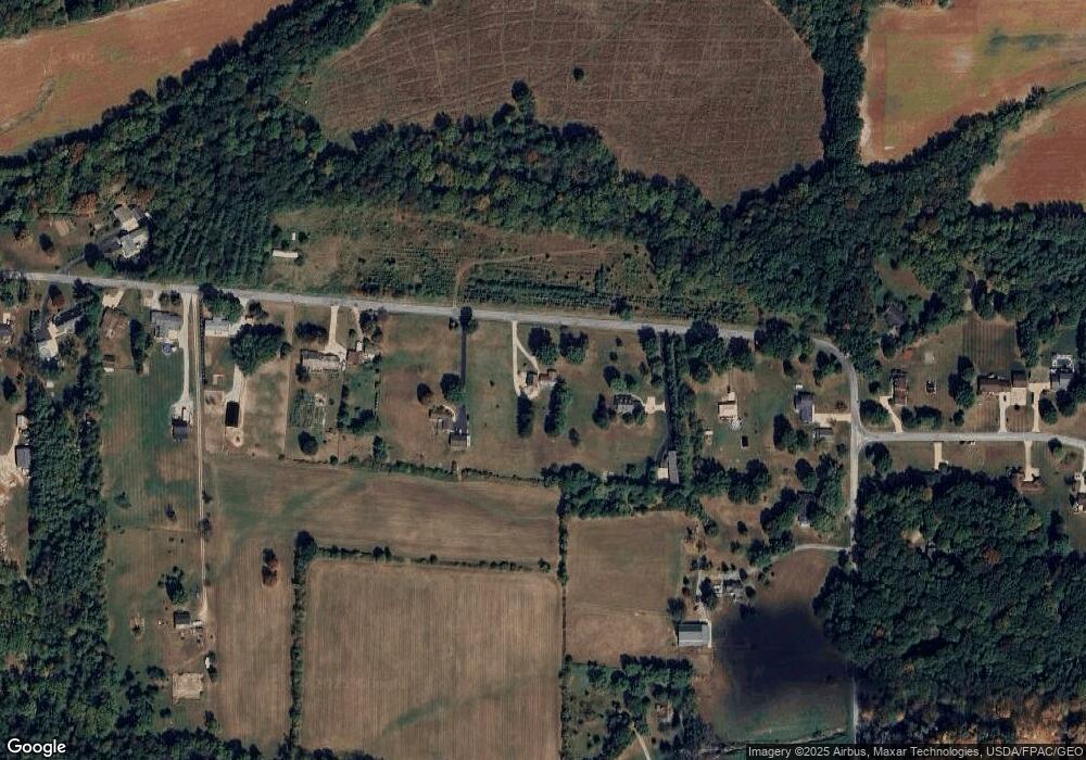
Map
Nearby Homes
- 5311 Canal Rd
- 3450 Secrest Rd
- 1043 N Honeytown Rd
- 3299 Crestview Dr
- 24 Silver Pond Dr
- 1474 N Honeytown Rd
- 3125 Dover Rd
- 2530 Tuckahoe Rd
- 660 Millborne Rd
- 1762 Pine Cove
- 1790 Pine Cove
- 2667 Eastwood Dr
- 1530 Willoughby Dr
- 4622 S Apple Creek Rd
- 4639 Westwood Dr
- 2754 Millersburg Rd
- 1029 E University St
- 606 E Henry St
- 638 High St
- 0 E Main St
- 5549 Secrest Rd
- 5687 Secrest Rd
- 5527 Secrest Rd
- 5727 Secrest Rd
- 5517 Secrest Rd
- 5829 Secrest Rd
- 5877 Secrest Rd
- 5770 Secrest Rd
- 5917 Secrest Rd
- 5447 Secrest Rd
- 6041 Secrest Rd
- 5794 Secrest Rd
- 5818 Secrest Rd
- 5425 Secrest Rd
- 6045 Chestnut Ridge Dr
- 5908 Secrest Rd
- 5393 Secrest Rd
- 5431 Secrest Rd
- 5352 Secrest Rd
- 6090 Chestnut Ridge Dr