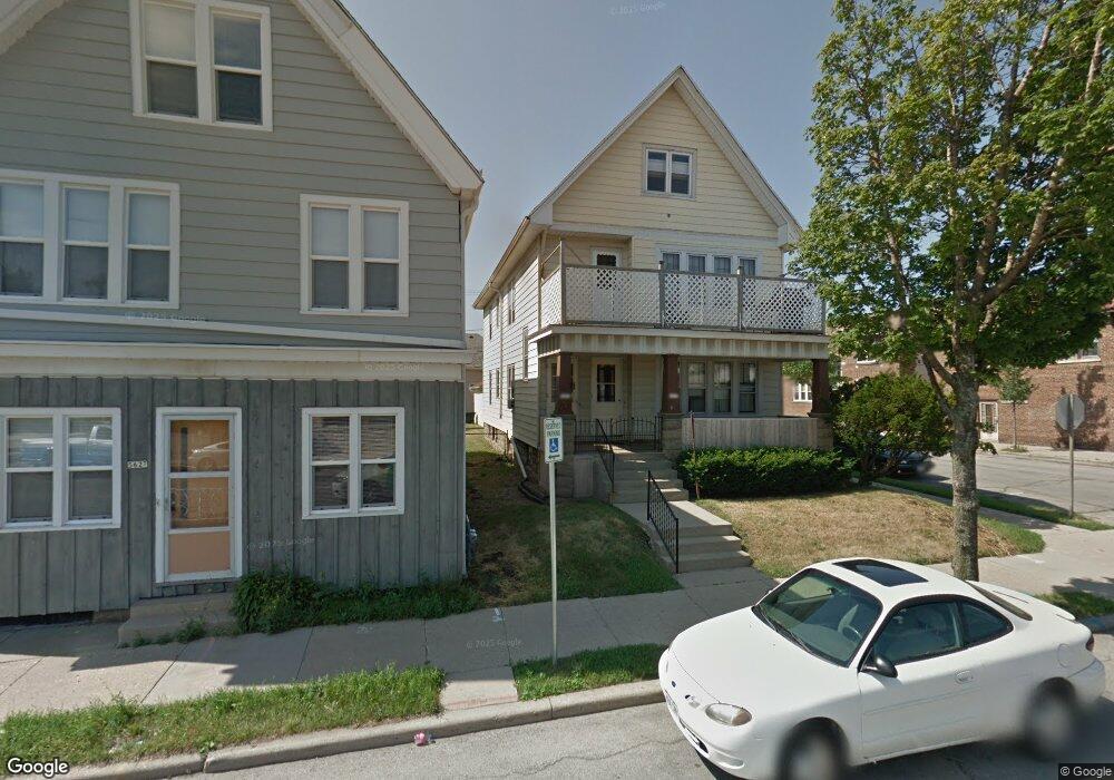
5631 W Burnham St Milwaukee, WI 53219
East Allis NeighborhoodEstimated Value: $278,000 - $316,327
4
Beds
2
Baths
2,160
Sq Ft
$135/Sq Ft
Est. Value
About This Home
This home is located at 5631 W Burnham St, Milwaukee, WI 53219 and is currently estimated at $291,332, approximately $134 per square foot. 5631 W Burnham St is a home located in Milwaukee County with nearby schools including Longfellow Elementary School, West Milwaukee Intermediate School, and Central High School.
Ownership History
Date
Name
Owned For
Owner Type
Purchase Details
Closed on
Dec 18, 2001
Sold by
Baraniak Dean A
Bought by
Kutschenreuter Brett A
Current Estimated Value
Home Financials for this Owner
Home Financials are based on the most recent Mortgage that was taken out on this home.
Original Mortgage
$91,600
Outstanding Balance
$37,622
Interest Rate
7.26%
Mortgage Type
Purchase Money Mortgage
Estimated Equity
$253,710
Create a Home Valuation Report for This Property
The Home Valuation Report is an in-depth analysis detailing your home's value as well as a comparison with similar homes in the area
Home Values in the Area
Average Home Value in this Area
Purchase History
| Date | Buyer | Sale Price | Title Company |
|---|---|---|---|
| Kutschenreuter Brett A | $114,500 | -- |
Source: Public Records
Mortgage History
| Date | Status | Borrower | Loan Amount |
|---|---|---|---|
| Open | Kutschenreuter Brett A | $91,600 |
Source: Public Records
Tax History Compared to Growth
Tax History
| Year | Tax Paid | Tax Assessment Tax Assessment Total Assessment is a certain percentage of the fair market value that is determined by local assessors to be the total taxable value of land and additions on the property. | Land | Improvement |
|---|---|---|---|---|
| 2024 | $5,459 | $255,400 | $24,400 | $231,000 |
| 2023 | $3,956 | $133,700 | $21,400 | $112,300 |
| 2022 | $3,535 | $133,700 | $21,400 | $112,300 |
| 2021 | $3,449 | $133,700 | $21,400 | $112,300 |
| 2020 | $3,517 | $133,700 | $21,400 | $112,300 |
| 2019 | $3,383 | $133,700 | $21,400 | $112,300 |
| 2018 | $3,931 | $133,700 | $21,400 | $112,300 |
| 2017 | $3,575 | $133,700 | $21,400 | $112,300 |
| 2016 | $3,464 | $133,700 | $21,400 | $112,300 |
| 2015 | $3,660 | $133,700 | $21,400 | $112,300 |
| 2014 | $3,660 | $133,700 | $21,400 | $112,300 |
Source: Public Records
Map
Nearby Homes
- 5602 W Rogers St
- 5720 W Rogers St
- 5715 W Mitchell St
- 1912 S 60th St
- 1726 S 60th St
- 2066 S 58th St
- 2026 S 60th St
- 1731 S 60th St
- 1667 S 54th St
- 6100 W Burnham St
- 6039 W Mitchell St
- 52 Burnham St
- 2128 S 58th St
- 1537 S 56th St
- 2191 S 60th St
- 2219 S 59th St
- 2226 S 60th St Unit A
- 2173 S 61st St
- 6303 W Beloit Rd
- 1642 S 65th St
- 5625 W Burnham St
- 5623 W Burnham St
- 5619 W Burnham St
- 1918 S 57th St
- 1918 S 57th St Unit 1920
- 1918 S 57th St Unit 1918
- 1918 S 57th St Unit 1918-1920
- 5615 W Burnham St
- 1922 S 57th St
- 1927 S 57th St
- 5611 W Burnham St
- 1926 S 57th St
- 1919 S 57th St
- 5607 W Burnham St
- 1930 S 57th St
- 5715 W Burnham St
- 1919 S 56th St
- 1923 S 56th St
- 1822 S 57th St
- 1934 S 57th St