5632 Spud Farm Rd Grayling, MI 49738
Estimated Value: $202,000
1
Bed
1
Bath
1,005
Sq Ft
$201/Sq Ft
Est. Value
About This Home
This home is located at 5632 Spud Farm Rd, Grayling, MI 49738 and is currently estimated at $202,000, approximately $200 per square foot. 5632 Spud Farm Rd is a home located in Crawford County with nearby schools including Grayling Elementary School, Grayling Middle School, and Grayling High School.
Ownership History
Date
Name
Owned For
Owner Type
Purchase Details
Closed on
Jan 25, 2017
Sold by
Weil Family Restated Trust and Weil Conrad
Bought by
Erb Joanna and Erb Joseph T
Current Estimated Value
Purchase Details
Closed on
Jul 21, 2002
Sold by
Weil Conrad
Bought by
Weil Conrad Jr & Patricia E Trust
Purchase Details
Closed on
Jun 18, 2002
Sold by
Weil Conrad
Bought by
Erb Joanne and Erb Kenneth
Purchase Details
Closed on
Oct 6, 1999
Sold by
Weil Patricia
Bought by
Weil Conrad and Weil Patricia E
Purchase Details
Closed on
Jul 1, 1994
Sold by
Weil Patricia
Purchase Details
Closed on
May 31, 1991
Purchase Details
Closed on
Jun 5, 1986
Create a Home Valuation Report for This Property
The Home Valuation Report is an in-depth analysis detailing your home's value as well as a comparison with similar homes in the area
Home Values in the Area
Average Home Value in this Area
Purchase History
| Date | Buyer | Sale Price | Title Company |
|---|---|---|---|
| Erb Joanna | $95,000 | None Available | |
| Weil Conrad Jr & Patricia E Trust | -- | -- | |
| Erb Joanne | -- | -- | |
| Weil Conrad | -- | -- | |
| -- | -- | -- | |
| -- | -- | -- | |
| -- | $29,800 | -- |
Source: Public Records
Tax History Compared to Growth
Tax History
| Year | Tax Paid | Tax Assessment Tax Assessment Total Assessment is a certain percentage of the fair market value that is determined by local assessors to be the total taxable value of land and additions on the property. | Land | Improvement |
|---|---|---|---|---|
| 2025 | $0 | $0 | $0 | $0 |
| 2024 | -- | $0 | $0 | $0 |
| 2023 | -- | $0 | $0 | $0 |
| 2022 | $0 | $0 | $0 | $0 |
| 2021 | $0 | $0 | $0 | $0 |
| 2020 | $0 | $0 | $0 | $0 |
| 2019 | $1,813 | $0 | $0 | $0 |
| 2018 | $0 | $47,800 | $38,200 | $9,600 |
| 2017 | $0 | $47,500 | $38,200 | $9,300 |
| 2016 | $1,813 | $58,600 | $38,200 | $20,400 |
| 2015 | -- | $58,600 | $0 | $0 |
| 2014 | -- | $86,400 | $0 | $0 |
| 2013 | -- | $66,700 | $0 | $0 |
Source: Public Records
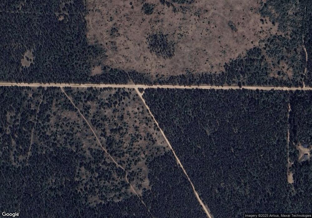
Map
Nearby Homes
- 80 Lovells Rd
- 0 Lovells Rd Unit 1933430
- 7286 Smith Trail
- 000 Witte Trail
- V/L 37.79A Hopkins Lodge Trail
- 3123 Lovells Rd
- 3145 Timberlane Trail
- 3140 Northeast Trail
- 2676 Kirkland Dr
- 9222 Twin Bridge Rd
- 5626 Smith Rd
- V/L Grouse Trail
- Parcel C Cherry Creek Rd
- Parcel B Cherry Creek Rd
- Parcel A Cherry Creek Rd
- 11247 Cherry Trail
- Cherry Creek Trail
- Cherry Creek Trail
- Cherry Creek Trail
- 3163 N Red Oak Rd
- 4860 Spud Farm Trail
- 8437 E Townline Rd
- 5538 Spud Farm Rd
- 8305 E Townline Rd
- 8897 Curth Trail
- 9150 Bill Dr
- 8497 Lovells Rd
- 6207 Lovells Rd
- 0 Lovells Rd Unit 324931
- 0 Lovells Rd Unit 299039
- 0 Lovells Rd Unit 201820719
- 0 Lovells Rd Unit 201824460
- 0 Lovells Rd Unit 299099
- 0 Lovells Rd Unit 298733
- 0 Lovells Rd Unit 286180
- 0 Lovells Rd Unit 292536
- 0 Lovells Rd Unit 2.68 acres 294465
- 0 Lovells Rd Unit 10 ACRES 320887
- 0 Lovells Rd Unit 10 ACRES 316099
- 0 Lovells Rd Unit (& CO RD 612) 259062