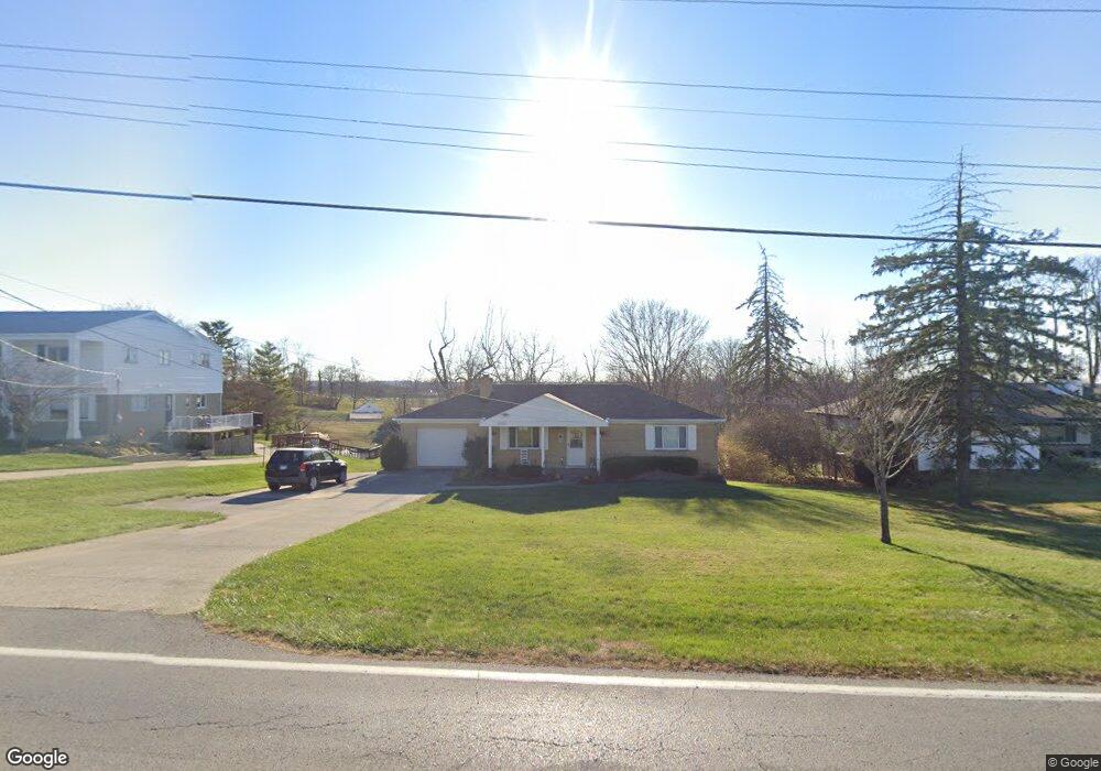
5633 W Fork Rd Cincinnati, OH 45247
Estimated Value: $264,000 - $305,000
2
Beds
1
Bath
1,134
Sq Ft
$246/Sq Ft
Est. Value
About This Home
This home is located at 5633 W Fork Rd, Cincinnati, OH 45247 and is currently estimated at $278,725, approximately $245 per square foot. 5633 W Fork Rd is a home located in Hamilton County with nearby schools including Monfort Heights Elementary School, White Oak Middle School, and Colerain High School.
Ownership History
Date
Name
Owned For
Owner Type
Purchase Details
Closed on
Jul 19, 2010
Sold by
Hudelpohl Thomas V
Bought by
Haft Jeanne M
Current Estimated Value
Home Financials for this Owner
Home Financials are based on the most recent Mortgage that was taken out on this home.
Original Mortgage
$141,099
Outstanding Balance
$92,437
Interest Rate
4.75%
Mortgage Type
FHA
Estimated Equity
$186,288
Purchase Details
Closed on
Apr 28, 2006
Sold by
Berns Vera J
Bought by
Hudepohl Thomas
Home Financials for this Owner
Home Financials are based on the most recent Mortgage that was taken out on this home.
Original Mortgage
$121,000
Interest Rate
6.37%
Mortgage Type
Unknown
Create a Home Valuation Report for This Property
The Home Valuation Report is an in-depth analysis detailing your home's value as well as a comparison with similar homes in the area
Home Values in the Area
Average Home Value in this Area
Purchase History
| Date | Buyer | Sale Price | Title Company |
|---|---|---|---|
| Haft Jeanne M | $143,000 | Prominent Title | |
| Hudepohl Thomas | -- | Chicago Title Insurance Co |
Source: Public Records
Mortgage History
| Date | Status | Borrower | Loan Amount |
|---|---|---|---|
| Open | Haft Jeanne M | $141,099 | |
| Previous Owner | Hudepohl Thomas | $121,000 |
Source: Public Records
Tax History
| Year | Tax Paid | Tax Assessment Tax Assessment Total Assessment is a certain percentage of the fair market value that is determined by local assessors to be the total taxable value of land and additions on the property. | Land | Improvement |
|---|---|---|---|---|
| 2025 | $3,382 | $72,464 | $18,501 | $53,963 |
| 2023 | $3,372 | $72,464 | $18,501 | $53,963 |
| 2022 | $3,134 | $56,788 | $18,018 | $38,770 |
| 2021 | $2,863 | $56,788 | $18,018 | $38,770 |
| 2020 | $2,904 | $56,788 | $18,018 | $38,770 |
| 2019 | $2,797 | $50,701 | $16,086 | $34,615 |
| 2018 | $3,014 | $50,701 | $16,086 | $34,615 |
| 2017 | $2,848 | $50,701 | $16,086 | $34,615 |
| 2016 | $2,826 | $49,550 | $15,925 | $33,625 |
| 2015 | $2,852 | $49,550 | $15,925 | $33,625 |
| 2014 | $2,857 | $49,550 | $15,925 | $33,625 |
| 2013 | $2,699 | $50,050 | $16,086 | $33,964 |
Source: Public Records
Map
Nearby Homes
- 5563 Haft Rd
- 5588 W Fork Rd
- 5876 Sutters Mill Dr
- 5804 Cedaridge Dr
- 5339 Race Rd
- 5991 Gaines Rd
- 6051 Shelrich Ct
- 5182 Michael Anthony Ln
- 5525 Whispering Way
- 4643 Whispering Oak Trail
- Site 1 Brierly Creek Rd
- 4491 W Fork Rd
- 5080 Jessup Rd
- 5547 Hubble Rd
- 4600 Farcrest Ct
- 4192 Timberpoint Dr
- 5221 Clearlake Dr
- 4366 Runningfawn Dr
- 5104 Jonkard Ln
- 4252 Runningfawn Dr
- 5641 W Fork Rd
- 5625 W Fork Rd
- 5636 W Fork Rd
- 5617 W Fork Rd
- 24 W Fork Rd
- 7 W Fork Ridge
- 5615 Klausridge Ct
- 5607 W Fork Rd
- 5661 W Fork Rd
- 5612 Klausridge Ct
- 5631 Klausridge Ct
- 5664 W Fork Rd
- 5671 W Fork Rd
- 5620 Klausridge Ct
- 5637 Klausridge Ct
- 5551 Haft Rd
- 5628 Klausridge Ct
- 5679 W Fork Rd
- 5585 W Fork Rd
- 5636 Klausridge Ct
Your Personal Tour Guide
Ask me questions while you tour the home.