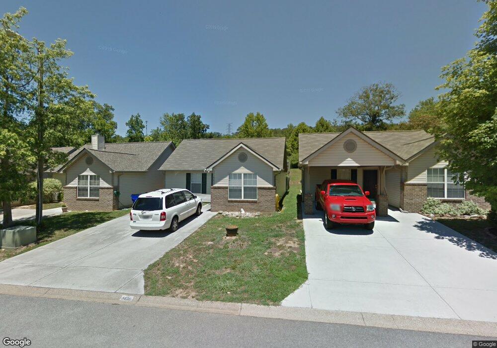
5635 Kalispell Way Unit 2 Knoxville, TN 37924
Estimated Value: $258,000 - $317,000
2
Beds
2
Baths
1,108
Sq Ft
$250/Sq Ft
Est. Value
About This Home
This home is located at 5635 Kalispell Way Unit 2, Knoxville, TN 37924 and is currently estimated at $276,955, approximately $249 per square foot. 5635 Kalispell Way Unit 2 is a home located in Knox County with nearby schools including Ritta Elementary School, Holston Middle School, and Fulton High School.
Ownership History
Date
Name
Owned For
Owner Type
Purchase Details
Closed on
May 5, 2023
Sold by
Humphrey Sandra J
Bought by
Humphrey Billie P
Current Estimated Value
Purchase Details
Closed on
Feb 15, 2007
Sold by
Bacon Kaye H
Bought by
Humphrey Sandra M
Purchase Details
Closed on
Oct 15, 2004
Sold by
Harold Dale Andrew and Harold Lindsay R
Bought by
Bacon Kaye H
Home Financials for this Owner
Home Financials are based on the most recent Mortgage that was taken out on this home.
Original Mortgage
$81,700
Interest Rate
5.73%
Mortgage Type
Purchase Money Mortgage
Purchase Details
Closed on
Mar 31, 1999
Sold by
Paul Philips Roger and Paul Mary V
Bought by
Harold Dale Andrew
Home Financials for this Owner
Home Financials are based on the most recent Mortgage that was taken out on this home.
Original Mortgage
$71,963
Interest Rate
6.82%
Mortgage Type
FHA
Create a Home Valuation Report for This Property
The Home Valuation Report is an in-depth analysis detailing your home's value as well as a comparison with similar homes in the area
Home Values in the Area
Average Home Value in this Area
Purchase History
| Date | Buyer | Sale Price | Title Company |
|---|---|---|---|
| Humphrey Billie P | -- | None Listed On Document | |
| Humphrey Sandra M | $110,900 | Acquire Title Inc | |
| Bacon Kaye H | $86,000 | -- | |
| Harold Dale Andrew | $72,000 | Title Solutions Inc |
Source: Public Records
Mortgage History
| Date | Status | Borrower | Loan Amount |
|---|---|---|---|
| Previous Owner | Bacon Kaye H | $81,700 | |
| Previous Owner | Harold Dale Andrew | $71,963 |
Source: Public Records
Tax History Compared to Growth
Tax History
| Year | Tax Paid | Tax Assessment Tax Assessment Total Assessment is a certain percentage of the fair market value that is determined by local assessors to be the total taxable value of land and additions on the property. | Land | Improvement |
|---|---|---|---|---|
| 2024 | $448 | $30,200 | $0 | $0 |
| 2023 | $448 | $30,200 | $0 | $0 |
| 2022 | $469 | $30,200 | $0 | $0 |
| 2021 | $448 | $21,125 | $0 | $0 |
| 2020 | $448 | $21,125 | $0 | $0 |
| 2019 | $448 | $21,125 | $0 | $0 |
| 2018 | $448 | $21,125 | $0 | $0 |
| 2017 | $448 | $21,125 | $0 | $0 |
| 2016 | $485 | $0 | $0 | $0 |
| 2015 | $485 | $0 | $0 | $0 |
| 2014 | $485 | $0 | $0 | $0 |
Source: Public Records
Map
Nearby Homes
- 5505 Libby Way Unit 1
- 5609 Reinhardt Ln
- 2541 Pendelton Dr
- 2338 McCampbell Wells Way
- 2719 Lakin Rd
- 5562 Meadow Wells Dr
- 2132 Glen Creek Rd
- 3231 Whelahan Farm Rd
- 2121 Glen Creek Rd
- 6124 Park Shadow Way
- 2404 Sable Point Ln
- 3701 Parker Harrison Way
- 3705 Parker Harrison Way
- 2129 Blue Sage Ln
- 6035 Hollow View Ln
- 6173 E McMillan Creek Dr
- 5139 Spring Valley Dr
- 1713 Timberlane Cir
- 6209 Daniels Branch Ln
- 3665 Meredith Lynn Way
- 5635 Kalispell Way
- 5631 Kalispell Way Unit 2
- 5639 Kalispell Way
- 5643 Kalispell Way
- 5623 Kalispell Way
- 5623 Kalispell Way Unit 2
- 5619 Kalispell Way
- 5634 Kalispell Way
- 5615 Kalispell Way
- 5630 Kalispell Way
- 5638 Kalispell Way
- 5626 Kalispell Way
- 5622 Kalispell Way
- 5611 Kalispell Way
- 5618 Kalispell Way Unit 2
- 5614 Kalispell Way Unit 2
- 5613 Millertown Pike
- 2933 Billings Way
- 2933 Billings Way Unit 45
- 2929 Billings Way Unit 2