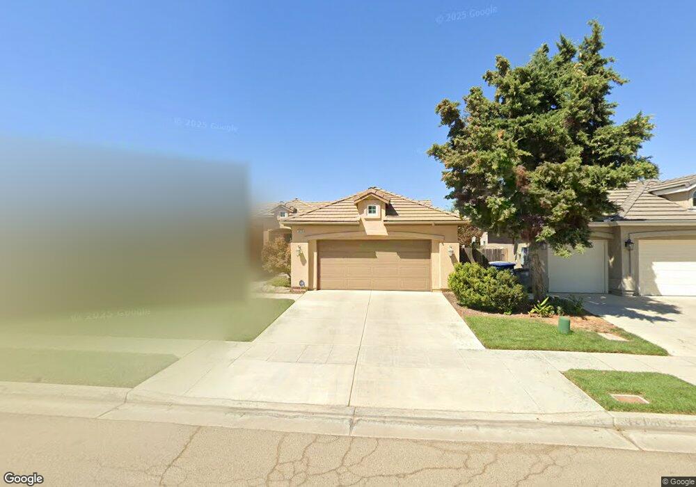
5635 N Brent Ave Fresno, CA 93723
Estimated Value: $397,000 - $423,000
3
Beds
3
Baths
1,480
Sq Ft
$276/Sq Ft
Est. Value
About This Home
This home is located at 5635 N Brent Ave, Fresno, CA 93723 and is currently estimated at $408,664, approximately $276 per square foot. 5635 N Brent Ave is a home located in Fresno County with nearby schools including Herndon-Barstow Elementary School and Rio Vista Middle School.
Ownership History
Date
Name
Owned For
Owner Type
Purchase Details
Closed on
Feb 3, 2009
Sold by
Deyoung Properties 5224 L P
Bought by
Laing Melody
Current Estimated Value
Home Financials for this Owner
Home Financials are based on the most recent Mortgage that was taken out on this home.
Original Mortgage
$210,225
Outstanding Balance
$132,246
Interest Rate
5.01%
Mortgage Type
FHA
Estimated Equity
$276,418
Create a Home Valuation Report for This Property
The Home Valuation Report is an in-depth analysis detailing your home's value as well as a comparison with similar homes in the area
Home Values in the Area
Average Home Value in this Area
Purchase History
| Date | Buyer | Sale Price | Title Company |
|---|---|---|---|
| Laing Melody | $213,000 | Chicago Title Company |
Source: Public Records
Mortgage History
| Date | Status | Borrower | Loan Amount |
|---|---|---|---|
| Open | Laing Melody | $210,225 |
Source: Public Records
Tax History Compared to Growth
Tax History
| Year | Tax Paid | Tax Assessment Tax Assessment Total Assessment is a certain percentage of the fair market value that is determined by local assessors to be the total taxable value of land and additions on the property. | Land | Improvement |
|---|---|---|---|---|
| 2025 | $3,839 | $274,282 | $96,576 | $177,706 |
| 2023 | $3,667 | $263,633 | $92,827 | $170,806 |
| 2022 | $3,463 | $258,464 | $91,007 | $167,457 |
| 2021 | $3,474 | $253,397 | $89,223 | $164,174 |
| 2020 | $3,321 | $250,800 | $88,309 | $162,491 |
| 2019 | $3,280 | $245,883 | $86,578 | $159,305 |
| 2018 | $3,165 | $241,063 | $84,881 | $156,182 |
| 2017 | $3,056 | $236,337 | $83,217 | $153,120 |
| 2016 | $2,882 | $231,704 | $81,586 | $150,118 |
| 2015 | $2,942 | $228,225 | $80,361 | $147,864 |
| 2014 | $2,939 | $223,755 | $78,787 | $144,968 |
Source: Public Records
Map
Nearby Homes
- 6518 W Dovewood Ln
- 6632 W Dovewood Ln
- 6611 W Morris Ave
- 6640 W Celeste Ave
- 6659 W Morris Ave
- 5929 N La Paz Ave
- 6168 W Scott Ave
- 6164 W Keats Ave
- 3404 N Contessa Ave
- 3380 Contessa Ave
- 6466 W Richert Ave
- 6122 W Swift Ave
- 4188 N Contessa Ave
- 6136 W Oakley Ave
- 4154 N Sandrini Ave
- 6796 W Kadota Ave
- 6130 W Shaw Ave
- 5286 N Maruyama Ave
- 7160 W Dovewood Ln
- 5628 W Mesa Ave
- 5647 N Brent Ave
- 5623 N Brent Ave
- 5659 N Brent Ave
- 5611 N Brent Ave
- 6344 W Wrenwood Ln
- 5599 N Brent Ave
- 5671 N Brent Ave
- 5610 N Brent Ave
- 6329 W Dovewood Ln
- 6336 W Wrenwood Ln
- 5587 N Brent Ave
- 5683 N Brent Ave
- 5598 N Brent Ave
- 6418 W Wrenwood Ln
- 6411 W Dovewood Ln
- 6335 W Wrenwood Ln
- 6328 W Wrenwood Ln
- 5586 N Brent Ave
- 5575 N Brent Ave
- 5695 N Brent Ave