5635 SW Auburn Rd Topeka, KS 66610
Estimated Value: $196,551 - $327,000
1
Bed
1
Bath
1,201
Sq Ft
$238/Sq Ft
Est. Value
About This Home
This home is located at 5635 SW Auburn Rd, Topeka, KS 66610 and is currently estimated at $285,388, approximately $237 per square foot. 5635 SW Auburn Rd is a home located in Shawnee County with nearby schools including Auburn Elementary School, Washburn Rural Middle School, and Washburn Rural High School.
Ownership History
Date
Name
Owned For
Owner Type
Purchase Details
Closed on
Mar 20, 2020
Sold by
Cosby Bernard L and Cosby Wanda J
Bought by
Cook Anthony and Cook Lisa
Current Estimated Value
Home Financials for this Owner
Home Financials are based on the most recent Mortgage that was taken out on this home.
Original Mortgage
$207,920
Interest Rate
3.4%
Mortgage Type
Closed End Mortgage
Purchase Details
Closed on
Oct 18, 2005
Sold by
Cosby Bernard Lee and Cosby Wanda J
Bought by
Cosby Bernard L and Cosby Wanda J
Create a Home Valuation Report for This Property
The Home Valuation Report is an in-depth analysis detailing your home's value as well as a comparison with similar homes in the area
Home Values in the Area
Average Home Value in this Area
Purchase History
| Date | Buyer | Sale Price | Title Company |
|---|---|---|---|
| Cook Anthony | -- | None Available | |
| Cosby Bernard L | -- | None Available |
Source: Public Records
Mortgage History
| Date | Status | Borrower | Loan Amount |
|---|---|---|---|
| Closed | Cook Anthony | $207,920 |
Source: Public Records
Tax History Compared to Growth
Tax History
| Year | Tax Paid | Tax Assessment Tax Assessment Total Assessment is a certain percentage of the fair market value that is determined by local assessors to be the total taxable value of land and additions on the property. | Land | Improvement |
|---|---|---|---|---|
| 2025 | $2,470 | $19,354 | -- | -- |
| 2023 | $2,470 | $17,895 | $0 | $0 |
| 2022 | $1,903 | $50,648 | $0 | $0 |
| 2021 | $5,823 | $44,821 | $0 | $0 |
| 2020 | $5,703 | $44,821 | $0 | $0 |
| 2019 | $5,609 | $43,516 | $0 | $0 |
| 2018 | $5,203 | $43,229 | $0 | $0 |
| 2017 | $5,462 | $42,381 | $0 | $0 |
| 2014 | $5,466 | $41,550 | $0 | $0 |
Source: Public Records
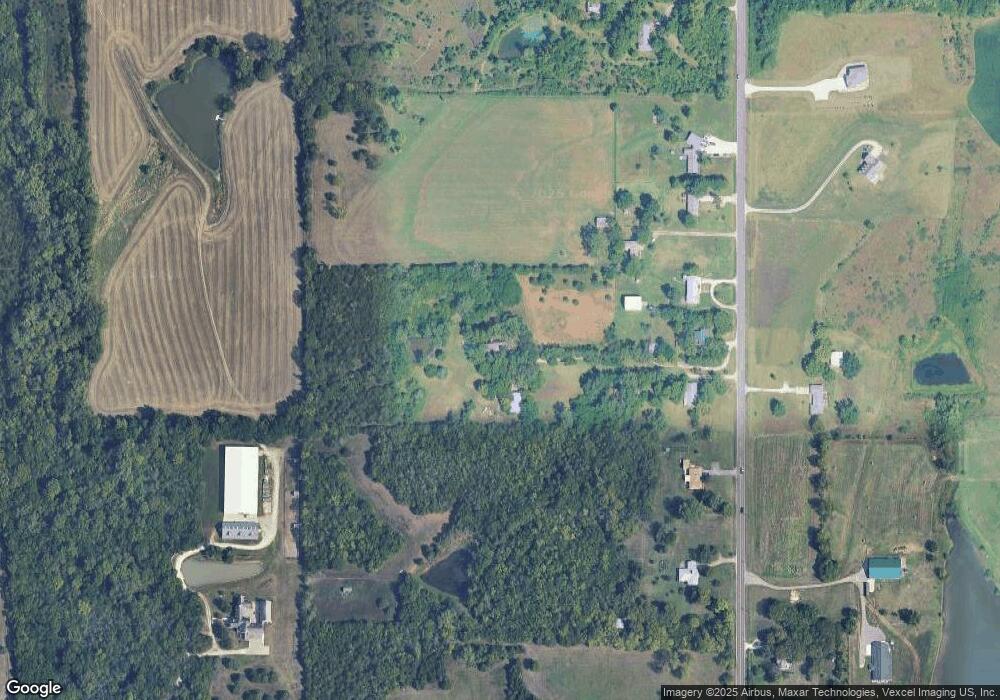
Map
Nearby Homes
- 6041 SW Auburn Rd
- 4200 SW Auburn Rd
- 4300 SW Auburn Rd
- 0000 SW 53rd St
- 8149 SW 61st St
- 4200-4300 SW Auburn Rd
- 8618 SW 51st St
- 6413 SW Bayshore Dr
- 0005 SW 45th St
- 0000 SW Gage Blvd
- 0003 SW Hoch Rd
- 0001 SW Hoch Rd
- 0002 SW Hoch Rd
- 0004 SW Hoch Rd
- 0000 SW Moundview Dr
- 3914 SW Barons Ln
- Tract 2 SW 79th St
- Tract 3 SW 79th St
- 8200 SW 37th St
- 3833 SW Ambassador Place
- 5625 SW Auburn Rd
- 5645 SW Auburn Rd
- 5613 SW Auburn Rd
- 5650 SW Auburn Rd
- 5549 SW Auburn Rd
- 5735 SW Auburn Rd
- 5543 SW Auburn Rd
- 5606 SW Auburn Rd
- 5741 SW Auburn Rd
- 5639 SW Auburn Rd
- 5806 SW Auburn Rd
- 5531 SW Auburn Rd
- 5536 SW Auburn Rd
- 00000 SW Auburn Rd
- 5820 SW Auburn Rd
- 5525 SW Auburn Rd
- 2-B 51 Auburn Rd
- 5522 SW Auburn Rd
- 5441 SW Auburn Rd
- 5849 SW Auburn Rd