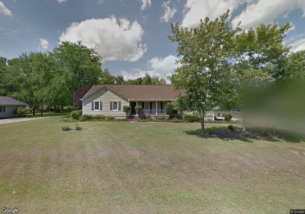
5635 Trowbridge Ln Macon, GA 31210
Estimated Value: $222,000 - $237,663
3
Beds
3
Baths
1,792
Sq Ft
$128/Sq Ft
Est. Value
About This Home
This home is located at 5635 Trowbridge Ln, Macon, GA 31210 and is currently estimated at $229,666, approximately $128 per square foot. 5635 Trowbridge Ln is a home located in Bibb County with nearby schools including Carter Elementary School, Howard Middle School, and Howard High School.
Ownership History
Date
Name
Owned For
Owner Type
Purchase Details
Closed on
Apr 29, 2025
Sold by
Rogers Rebecca R
Bought by
Beesley Bryon
Current Estimated Value
Home Financials for this Owner
Home Financials are based on the most recent Mortgage that was taken out on this home.
Original Mortgage
$10,000
Outstanding Balance
$9,947
Interest Rate
6.67%
Estimated Equity
$219,719
Purchase Details
Closed on
Apr 4, 2000
Bought by
Rogers Rebecca R
Create a Home Valuation Report for This Property
The Home Valuation Report is an in-depth analysis detailing your home's value as well as a comparison with similar homes in the area
Home Values in the Area
Average Home Value in this Area
Purchase History
| Date | Buyer | Sale Price | Title Company |
|---|---|---|---|
| Beesley Bryon | $227,000 | None Listed On Document | |
| Rogers Rebecca R | $121,000 | -- |
Source: Public Records
Mortgage History
| Date | Status | Borrower | Loan Amount |
|---|---|---|---|
| Open | Beesley Bryon | $10,000 | |
| Open | Beesley Bryon | $222,888 |
Source: Public Records
Tax History Compared to Growth
Tax History
| Year | Tax Paid | Tax Assessment Tax Assessment Total Assessment is a certain percentage of the fair market value that is determined by local assessors to be the total taxable value of land and additions on the property. | Land | Improvement |
|---|---|---|---|---|
| 2025 | $1,663 | $74,674 | $10,080 | $64,594 |
| 2024 | $1,719 | $74,674 | $10,080 | $64,594 |
| 2023 | $988 | $63,908 | $10,080 | $53,828 |
| 2022 | $2,057 | $66,406 | $10,500 | $55,906 |
| 2021 | $2,101 | $62,289 | $9,240 | $53,049 |
| 2020 | $1,876 | $55,328 | $8,400 | $46,928 |
| 2019 | $1,892 | $55,328 | $8,400 | $46,928 |
| 2018 | $2,466 | $45,126 | $8,400 | $36,726 |
| 2017 | $1,428 | $45,126 | $8,400 | $36,726 |
| 2016 | $1,319 | $45,126 | $8,400 | $36,726 |
| 2015 | $2,167 | $51,247 | $8,400 | $42,847 |
| 2014 | $734 | $51,907 | $8,400 | $43,507 |
Source: Public Records
Map
Nearby Homes
- 163 Broadleaf Dr
- 331 Marjane Dr
- 105 N Wellington
- 107 N Wellington
- 218 Matlock Ln
- 200 Stone Edge Rd
- 103 Howard Oaks Dr
- 106 Trillium Terrace
- 155 Howard Oaks Dr
- 131 Ashford Park
- 311 Castlegate Rd
- 118 Ashford Park
- 103 Hanover Place
- 5181 Zebulon Rd
- 757 Silver Springs Dr
- 137 Senora Place
- 180 Autumn Trace Ct
- 228 Lagrange Ct
- 5667 Trowbridge Ln
- 5619 Trowbridge Ln
- 543 Stone Edge Rd
- 527 Stone Edge Rd
- 5683 Trowbridge Ln
- 5602 Trowbridge Ln
- 511 Stone Edge Rd
- 5642 Trowbridge Ln
- 5620 Trowbridge Ln
- 5668 Trowbridge Ln
- 495 Stone Edge Rd Unit 45
- 495 Stone Edge Rd
- 575 Stone Edge Rd
- 475 Stone Edge Rd
- 5699 Trowbridge Ln
- 5686 Trowbridge Ln
- 350 Bass Rd
- 376 Bass Rd
- 546 Stone Edge Rd
- 5604 Kesteven Ln