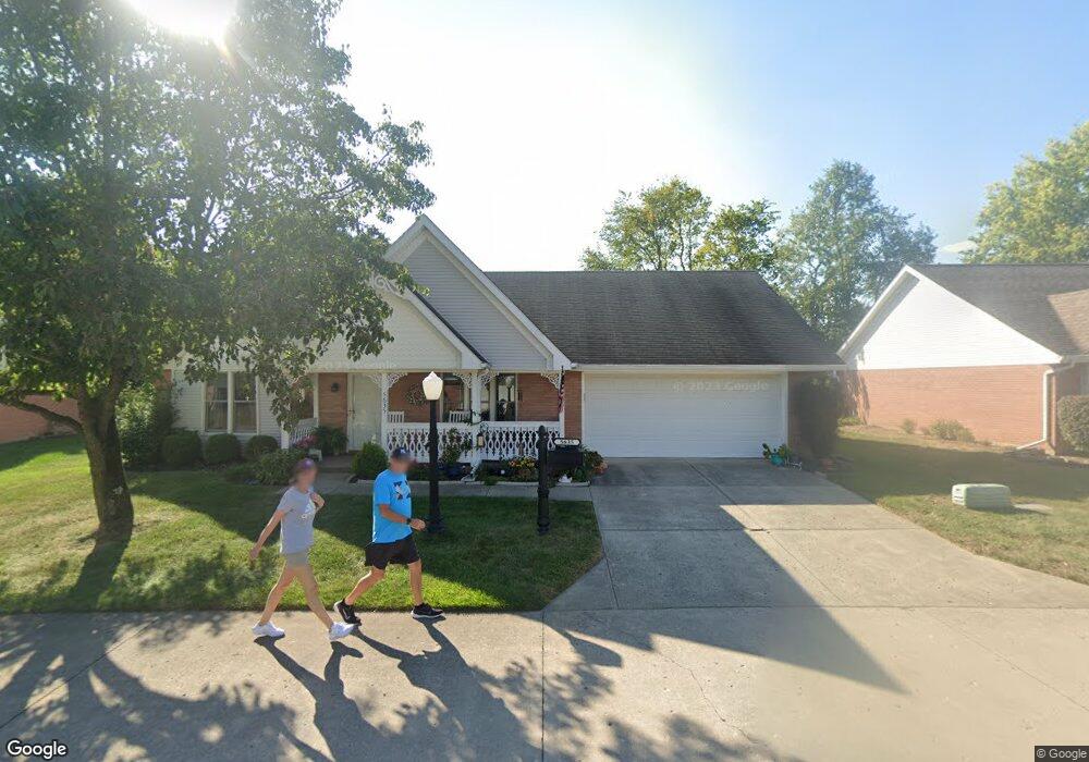
5635 Victorian Way Unit 20 Springfield, OH 45503
Estimated Value: $233,918 - $253,000
2
Beds
2
Baths
1,397
Sq Ft
$175/Sq Ft
Est. Value
About This Home
This home is located at 5635 Victorian Way Unit 20, Springfield, OH 45503 and is currently estimated at $243,980, approximately $174 per square foot. 5635 Victorian Way Unit 20 is a home located in Clark County with nearby schools including Rolling Hills Elementary School, Northridge Middle School, and Kenton Ridge Middle & High School.
Ownership History
Date
Name
Owned For
Owner Type
Purchase Details
Closed on
Jun 26, 2006
Sold by
Cox David C and Cox Dianne L
Bought by
Keogh Ruby L
Current Estimated Value
Home Financials for this Owner
Home Financials are based on the most recent Mortgage that was taken out on this home.
Original Mortgage
$30,000
Interest Rate
6.72%
Mortgage Type
Purchase Money Mortgage
Create a Home Valuation Report for This Property
The Home Valuation Report is an in-depth analysis detailing your home's value as well as a comparison with similar homes in the area
Home Values in the Area
Average Home Value in this Area
Purchase History
| Date | Buyer | Sale Price | Title Company |
|---|---|---|---|
| Keogh Ruby L | $124,900 | None Available |
Source: Public Records
Mortgage History
| Date | Status | Borrower | Loan Amount |
|---|---|---|---|
| Closed | Keogh Ruby L | $30,000 |
Source: Public Records
Tax History Compared to Growth
Tax History
| Year | Tax Paid | Tax Assessment Tax Assessment Total Assessment is a certain percentage of the fair market value that is determined by local assessors to be the total taxable value of land and additions on the property. | Land | Improvement |
|---|---|---|---|---|
| 2024 | $2,014 | $56,800 | $11,550 | $45,250 |
| 2023 | $2,014 | $56,800 | $11,550 | $45,250 |
| 2022 | $2,039 | $56,800 | $11,550 | $45,250 |
| 2021 | $1,915 | $46,960 | $8,750 | $38,210 |
| 2020 | $1,917 | $46,960 | $8,750 | $38,210 |
| 2019 | $1,953 | $46,960 | $8,750 | $38,210 |
| 2018 | $1,655 | $39,840 | $8,750 | $31,090 |
| 2017 | $1,418 | $39,715 | $8,750 | $30,965 |
| 2016 | $1,408 | $39,715 | $8,750 | $30,965 |
| 2015 | $1,407 | $39,715 | $8,750 | $30,965 |
| 2014 | $1,407 | $39,715 | $8,750 | $30,965 |
| 2013 | $1,362 | $39,435 | $8,750 | $30,685 |
Source: Public Records
Map
Nearby Homes
- 5794 Winfield Dr
- 5249 Taywell Dr
- 1527 Oldham Dr
- 1470 Oldham Dr Unit 12
- 5220 Ridgewood Rd E
- 5127 Stoneridge Dr
- 1902 Willow Lakes Dr Unit 71
- 1709 Thomas Dr
- 4825 Chippendale Dr
- 4800 Mesa Ln
- 4740 Merrimont Ave
- 4849 Ashley Dr
- 4622 W Ridgewood Rd
- 4924 Brannan Dr E Unit 4924
- 4620 Eldora St
- 4620 Eldora Dr
- 4524 Ridgewood Rd E
- 4512 Ridgewood Rd E
- 5643 Victorian Way
- 5627 Victorian Way Unit 18
- 5630 Victorian Way Unit 19
- 5648 Victorian Way Unit 21
- 5608 Ridgewood Rd W
- 5594 Ridgewood Rd W
- 5661 Victorian Way Unit 24
- 5609 Victorian Way
- 5624 Ridgewood Rd W
- 5624 W Ridgewood Rd
- 5612 Victorian Way Unit 17
- 1348 Willow Chase Ct
- 5638 Ridgewood Rd W
- 5654 Brantford Ct
- 1346 Willow Chase Ct
- 5689 Victorian Way Unit 26
- 5597 Victorian Ln
- 1464 Victorian Way Unit 11
- 1344 Willow Chase Ct
- 5654 Ridgewood Rd W