5635 W Condor Rd Peyton, CO 80831
Falcon NeighborhoodEstimated Value: $516,000 - $660,000
4
Beds
2
Baths
1,716
Sq Ft
$343/Sq Ft
Est. Value
About This Home
This home is located at 5635 W Condor Rd, Peyton, CO 80831 and is currently estimated at $588,038, approximately $342 per square foot. 5635 W Condor Rd is a home located in El Paso County with nearby schools including Falcon Elementary School Of Technology, Falcon Middle School, and Falcon High School.
Ownership History
Date
Name
Owned For
Owner Type
Purchase Details
Closed on
Nov 30, 1995
Sold by
Machotka Phillip L and Machotka Kathy E
Bought by
Dunblazier Duane and Dunblazier Julie
Current Estimated Value
Home Financials for this Owner
Home Financials are based on the most recent Mortgage that was taken out on this home.
Original Mortgage
$100,000
Interest Rate
7.36%
Purchase Details
Closed on
Mar 1, 1983
Bought by
Dunblazier Duane
Create a Home Valuation Report for This Property
The Home Valuation Report is an in-depth analysis detailing your home's value as well as a comparison with similar homes in the area
Home Values in the Area
Average Home Value in this Area
Purchase History
| Date | Buyer | Sale Price | Title Company |
|---|---|---|---|
| Dunblazier Duane | $134,750 | Unified Title | |
| Dunblazier Duane | -- | -- |
Source: Public Records
Mortgage History
| Date | Status | Borrower | Loan Amount |
|---|---|---|---|
| Closed | Dunblazier Duane | $100,000 |
Source: Public Records
Tax History
| Year | Tax Paid | Tax Assessment Tax Assessment Total Assessment is a certain percentage of the fair market value that is determined by local assessors to be the total taxable value of land and additions on the property. | Land | Improvement |
|---|---|---|---|---|
| 2025 | $2,304 | $36,780 | -- | -- |
| 2024 | $2,195 | $36,190 | $8,720 | $27,470 |
| 2023 | $2,195 | $36,190 | $8,720 | $27,470 |
| 2022 | $1,481 | $21,330 | $6,720 | $14,610 |
| 2021 | $1,541 | $21,950 | $6,920 | $15,030 |
| 2020 | $1,333 | $18,900 | $5,400 | $13,500 |
| 2019 | $1,321 | $18,900 | $5,400 | $13,500 |
| 2018 | $1,077 | $15,150 | $4,900 | $10,250 |
| 2017 | $986 | $15,150 | $4,900 | $10,250 |
| 2016 | $923 | $13,990 | $5,180 | $8,810 |
| 2015 | $924 | $13,990 | $5,180 | $8,810 |
| 2014 | $879 | $13,070 | $4,780 | $8,290 |
Source: Public Records
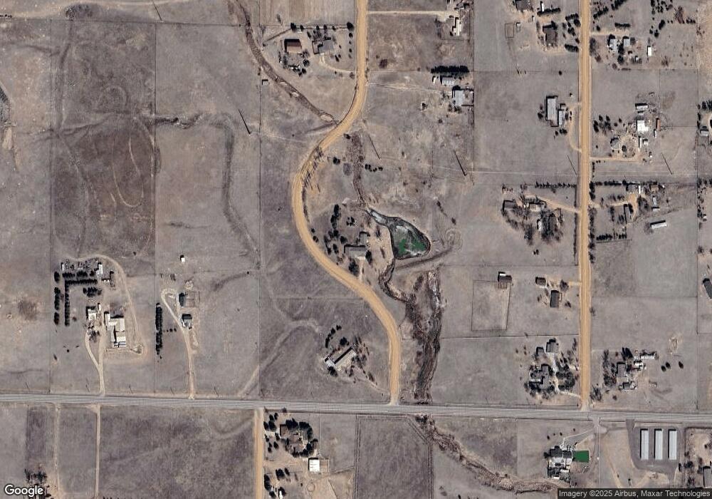
Map
Nearby Homes
- 5915 W Condor Rd
- 12565 Richardson Ln
- 12340 Smith Rd
- 5865 E Blaney Rd
- 12480 Partridge Ln
- 6518 Watusi Rd
- 6535 Gelbvieh Rd
- 11210 Eggar Dr
- 6545 Connie Lee Ct
- 13260 Cottontail Dr
- 7110 Old Meridian Rd
- 6525 Connie Lee Ct
- 7055 Buckboard Dr
- 6947 Wagon Track Way
- 12093 Merrill Heights
- 11065 Birch Hollow Way
- 7394 Owings Point
- 10819 Spurlock Place
- 10859 Hidden Ridge Cir
- 11856 Gorman Grove
- 5530 W Condor Rd
- 12180 Garrett Rd
- 5735 W Condor Rd
- 5475 Richardson Rd
- 5650 Sunset Trail
- 5590 Sunset Trail
- 5780 W Condor Rd
- 5520 Sunset Trail
- 5825 W Condor Rd
- 12150 Garrett Rd
- 5725 Sunset Trail
- 12555 Garrett Rd
- 5555 Sunset Trail
- 5820 Sunset Trail
- 12490 Richardson Ln
- 5850 W Condor Rd
- 5835 Sunset Trail
- 12475 Richardson Ln
- 5610 E Blaney Rd
- 12615 Garrett Rd
Your Personal Tour Guide
Ask me questions while you tour the home.