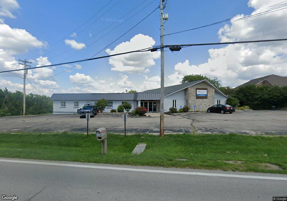
5636 W Fork Rd Cincinnati, OH 45247
West Monfort Heights NeighborhoodEstimated Value: $1,231,104
Studio
--
Bath
8,962
Sq Ft
$137/Sq Ft
Est. Value
About This Home
This home is located at 5636 W Fork Rd, Cincinnati, OH 45247 and is currently estimated at $1,231,104, approximately $137 per square foot. 5636 W Fork Rd is a home located in Hamilton County with nearby schools including Monfort Heights Elementary School, White Oak Middle School, and Colerain High School.
Ownership History
Date
Name
Owned For
Owner Type
Purchase Details
Closed on
Sep 19, 2009
Sold by
Cornerstone Open Bible Church
Bought by
West Fork Christian Fellowship Internati
Current Estimated Value
Purchase Details
Closed on
Apr 30, 2001
Sold by
Christian Revival Center
Bought by
Cornerstone Open Bible Church
Create a Home Valuation Report for This Property
The Home Valuation Report is an in-depth analysis detailing your home's value as well as a comparison with similar homes in the area
Home Values in the Area
Average Home Value in this Area
Purchase History
| Date | Buyer | Sale Price | Title Company |
|---|---|---|---|
| West Fork Christian Fellowship Internati | -- | Attorney | |
| Cornerstone Open Bible Church | $532,500 | -- |
Source: Public Records
Tax History
| Year | Tax Paid | Tax Assessment Tax Assessment Total Assessment is a certain percentage of the fair market value that is determined by local assessors to be the total taxable value of land and additions on the property. | Land | Improvement |
|---|---|---|---|---|
| 2025 | $126 | $190,719 | $42,560 | $148,159 |
| 2023 | $397 | $190,719 | $42,560 | $148,159 |
| 2022 | $126 | $161,242 | $38,661 | $122,581 |
| 2021 | $126 | $161,242 | $38,661 | $122,581 |
| 2020 | $126 | $161,242 | $38,661 | $122,581 |
| 2019 | $126 | $161,242 | $38,661 | $122,581 |
| 2018 | $126 | $161,242 | $38,661 | $122,581 |
| 2017 | $126 | $161,242 | $38,661 | $122,581 |
| 2016 | $126 | $164,483 | $40,691 | $123,792 |
| 2015 | $126 | $164,483 | $40,691 | $123,792 |
| 2014 | $126 | $164,483 | $40,691 | $123,792 |
| 2013 | $126 | $164,483 | $40,691 | $123,792 |
Source: Public Records
Map
Nearby Homes
- 5563 Haft Rd
- 5801 W Fork Rd
- 5804 Cedaridge Dr
- 5015 Nighthawk Dr
- 6051 Shelrich Ct
- 5547 Hubble Rd
- 4491 W Fork Rd
- 6195 Squirrelwoods Ln
- 5221 Clearlake Dr
- 4252 Runningfawn Dr
- 6130 Wilmer Rd
- 5104 Jonkard Ln
- 6670 Gaines Rd
- 3899 Ridgedale Dr
- 5442 Bluesky Dr
- 5753 Boomer Rd
- 6660 Weiss Rd
- 6169 Sheed Rd
- 4357 Hubble Rd
- 4575 Boomer Rd
- 5615 Klausridge Ct
- 5631 Klausridge Ct
- 5633 W Fork Rd
- 5641 W Fork Rd
- 24 W Fork Rd
- 7 W Fork Ridge
- 5625 W Fork Rd
- 5637 Klausridge Ct
- 5664 W Fork Rd
- 5620 Klausridge Ct
- 5612 Klausridge Ct
- 5617 W Fork Rd
- 5628 Klausridge Ct
- 5645 Klausridge Ct
- 5636 Klausridge Ct
- 5661 W Fork Rd
- 5671 W Fork Rd
- 5607 W Fork Rd
- 5644 Klausridge Ct
- 5657 Klausridge Ct
Your Personal Tour Guide
Ask me questions while you tour the home.