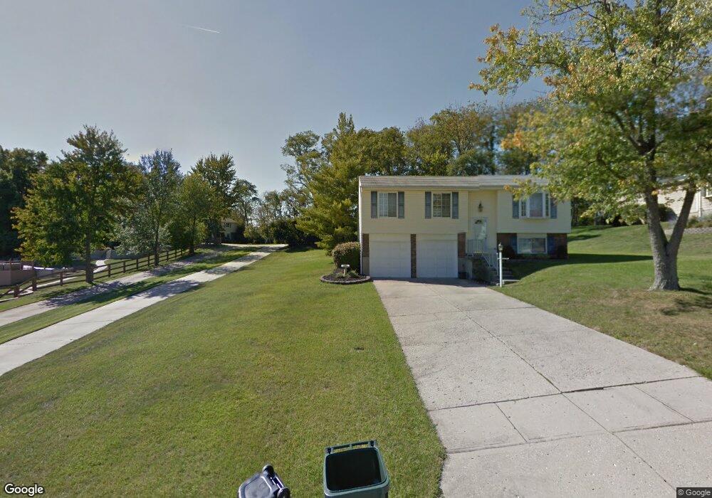
5637 Bluepine Dr Cincinnati, OH 45247
Estimated Value: $352,000 - $479,000
3
Beds
4
Baths
3,108
Sq Ft
$130/Sq Ft
Est. Value
About This Home
This home is located at 5637 Bluepine Dr, Cincinnati, OH 45247 and is currently estimated at $403,223, approximately $129 per square foot. 5637 Bluepine Dr is a home located in Hamilton County with nearby schools including Monfort Heights Elementary School, White Oak Middle School, and Colerain High School.
Ownership History
Date
Name
Owned For
Owner Type
Purchase Details
Closed on
May 18, 2025
Sold by
Coffaro Jeffrey W and Coffaro Linda A
Bought by
Dorr Michelle and Dorr Benjamin
Current Estimated Value
Create a Home Valuation Report for This Property
The Home Valuation Report is an in-depth analysis detailing your home's value as well as a comparison with similar homes in the area
Home Values in the Area
Average Home Value in this Area
Purchase History
| Date | Buyer | Sale Price | Title Company |
|---|---|---|---|
| Dorr Michelle | $339,000 | None Listed On Document |
Source: Public Records
Tax History
| Year | Tax Paid | Tax Assessment Tax Assessment Total Assessment is a certain percentage of the fair market value that is determined by local assessors to be the total taxable value of land and additions on the property. | Land | Improvement |
|---|---|---|---|---|
| 2025 | $8,319 | $149,871 | $17,791 | $132,080 |
| 2024 | $8,328 | $149,871 | $17,791 | $132,080 |
| 2023 | $8,233 | $149,871 | $17,791 | $132,080 |
| 2022 | $7,660 | $117,271 | $15,939 | $101,332 |
| 2021 | $7,031 | $117,271 | $15,939 | $101,332 |
| 2020 | $7,090 | $117,271 | $15,939 | $101,332 |
| 2019 | $6,992 | $104,706 | $14,231 | $90,475 |
| 2018 | $6,228 | $104,706 | $14,231 | $90,475 |
| 2017 | $5,891 | $104,706 | $14,231 | $90,475 |
| 2016 | $6,118 | $106,939 | $13,825 | $93,114 |
| 2015 | $6,167 | $106,939 | $13,825 | $93,114 |
| 2014 | $6,178 | $106,939 | $13,825 | $93,114 |
| 2013 | $5,453 | $100,884 | $13,041 | $87,843 |
Source: Public Records
Map
Nearby Homes
- 5804 Cedaridge Dr
- 5563 Haft Rd
- 5991 Gaines Rd
- Site 1 Brierly Creek Rd
- 5588 W Fork Rd
- 5876 Sutters Mill Dr
- 6051 Shelrich Ct
- 5442 Bluesky Dr
- 5221 Clearlake Dr
- 5339 Race Rd
- 5182 Michael Anthony Ln
- 5104 Jonkard Ln
- 5073 Valley Ridge Rd
- 5547 Hubble Rd
- 6670 Gaines Rd
- 5080 Jessup Rd
- 5753 Boomer Rd
- 5207 S Eaglesnest Dr
- 4643 Whispering Oak Trail
- 6074 Johnson Rd
- 5635 Bluepine Dr
- 5643 Bluepine Dr
- 5655 Bluepine Dr
- 5629 Bluepine Dr
- 5883 W Fork Rd
- 5617 Bluepine Dr
- 5667 Bluepine Dr
- 5679 Bluepine Dr
- 5642 Bluepine Dr
- 5654 Bluepine Dr
- 5630 Bluepine Dr
- 5666 Bluepine Dr
- 5618 Bluepine Dr
- 5861 W Fork Rd
- 5849 W Fork Rd
- 5885 W Fork Rd
- 5841 W Fork Rd
- 5678 Bluepine Dr
- 5593 Bluepine Dr
- 5606 Bluepine Dr
Your Personal Tour Guide
Ask me questions while you tour the home.