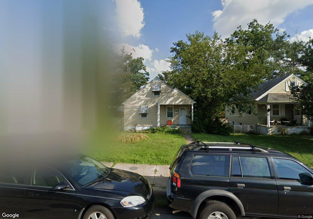
5637 Carter Ave Baltimore, MD 21214
Hamilton NeighborhoodEstimated Value: $259,311 - $281,000
Studio
1
Bath
1,170
Sq Ft
$231/Sq Ft
Est. Value
About This Home
This home is located at 5637 Carter Ave, Baltimore, MD 21214 and is currently estimated at $270,156, approximately $230 per square foot. 5637 Carter Ave is a home located in Baltimore City with nearby schools including Glenmount Elementary/Middle School, Booker T. Washington Middle School, and Paul Laurence Dunbar High School.
Ownership History
Date
Name
Owned For
Owner Type
Purchase Details
Closed on
Jan 12, 2004
Sold by
Taylor Richard T
Bought by
Jones Craig T
Current Estimated Value
Purchase Details
Closed on
Oct 1, 1993
Sold by
Suburban Realty Inv
Bought by
Taylor Richard T
Home Financials for this Owner
Home Financials are based on the most recent Mortgage that was taken out on this home.
Original Mortgage
$65,900
Interest Rate
7%
Create a Home Valuation Report for This Property
The Home Valuation Report is an in-depth analysis detailing your home's value as well as a comparison with similar homes in the area
Home Values in the Area
Average Home Value in this Area
Purchase History
| Date | Buyer | Sale Price | Title Company |
|---|---|---|---|
| Jones Craig T | $103,000 | -- | |
| Taylor Richard T | $65,900 | -- |
Source: Public Records
Mortgage History
| Date | Status | Borrower | Loan Amount |
|---|---|---|---|
| Previous Owner | Taylor Richard T | $65,900 |
Source: Public Records
Tax History
| Year | Tax Paid | Tax Assessment Tax Assessment Total Assessment is a certain percentage of the fair market value that is determined by local assessors to be the total taxable value of land and additions on the property. | Land | Improvement |
|---|---|---|---|---|
| 2025 | $3,087 | $146,833 | -- | -- |
| 2024 | $3,087 | $140,500 | $58,100 | $82,400 |
| 2023 | $3,054 | $139,367 | $0 | $0 |
| 2022 | $3,034 | $138,233 | $0 | $0 |
| 2021 | $3,236 | $137,100 | $58,100 | $79,000 |
| 2020 | $3,005 | $136,800 | $0 | $0 |
| 2019 | $2,983 | $136,500 | $0 | $0 |
| 2018 | $2,987 | $136,200 | $58,100 | $78,100 |
| 2017 | $2,895 | $136,200 | $0 | $0 |
| 2016 | $2,463 | $136,200 | $0 | $0 |
| 2015 | $2,463 | $138,900 | $0 | $0 |
| 2014 | $2,463 | $138,900 | $0 | $0 |
Source: Public Records
Map
Nearby Homes
- 3509 White Ave
- 5606 Walther Ave
- 3623 Bayonne Ave
- 3403 Keene Ave
- 5900 Winthrope Ave
- 3216 Hamilton Ave
- 5932 Bertram Ave
- 5921 Burgess Ave
- 3110 Hamilton Ave
- 3018 Mary Ave
- 3800 Mary Ave
- 3304 Echodale Ave
- 6015 Sefton Ave
- 5407 Pembroke Ave
- 3827 Glenarm Ave
- 6103 Glenoak Ave
- 0 Royston Ave
- 6201 Carter Ave
- 6113 Sefton Ave
- 5421 Remmell Ave
- 5635 Carter Ave
- 5639 Carter Ave
- 5633 Carter Ave
- 5641 Carter Ave
- 5631 Carter Ave
- 5701 Carter Ave
- 5703 Carter Ave
- 5614 Winthrope Ave
- 5616 Winthrope Ave
- 5618 Winthrope Ave
- 5622 Winthrope Ave
- 5624 Winthrope Ave
- 5705 Carter Ave
- 5626 Winthrope Ave
- 3328 Bayonne Ave
- 5623 Carter Ave
- 3326 Bayonne Ave
- 3324 Bayonne Ave
- 5628 Winthrope Ave
- 5606 Winthrope Ave
Your Personal Tour Guide
Ask me questions while you tour the home.