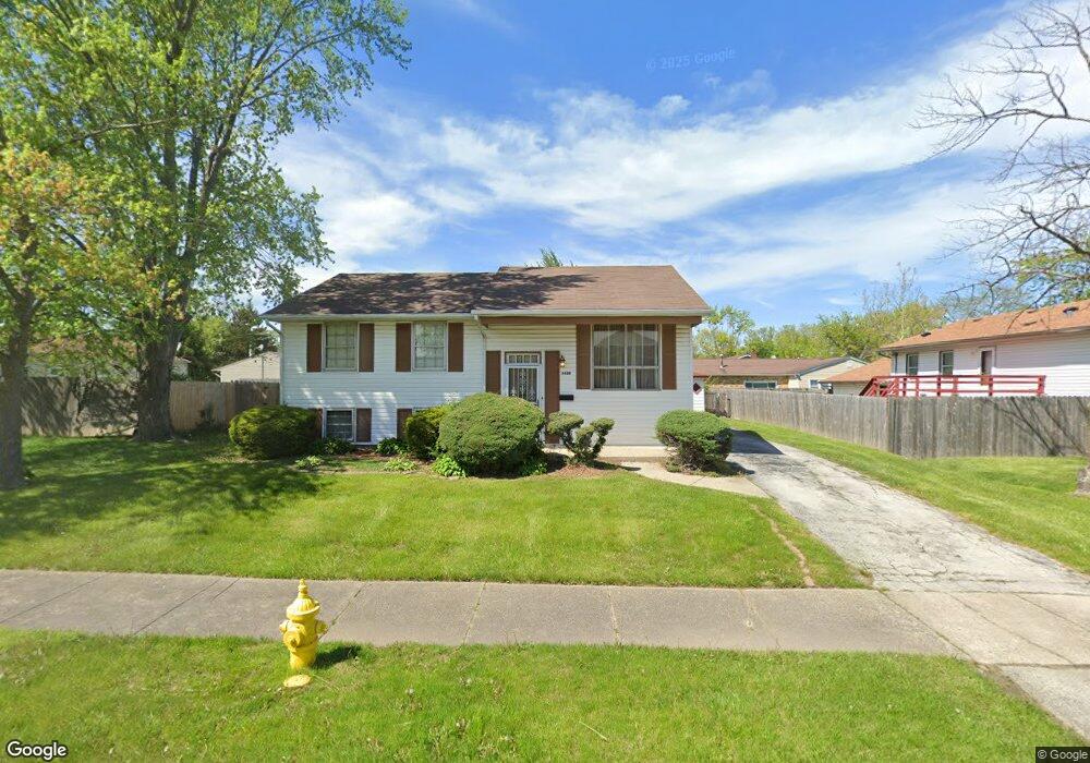
5638 Amherst Place Matteson, IL 60443
West Matteson NeighborhoodEstimated Value: $189,148 - $230,000
3
Beds
2
Baths
7,920
Sq Ft
$27/Sq Ft
Est. Value
About This Home
This home is located at 5638 Amherst Place, Matteson, IL 60443 and is currently estimated at $213,787, approximately $26 per square foot. 5638 Amherst Place is a home located in Cook County with nearby schools including Colin Powell Middle School.
Ownership History
Date
Name
Owned For
Owner Type
Purchase Details
Closed on
Oct 24, 1997
Sold by
Doby William and Doby Norma F
Bought by
Morgan Roosevelt and Morgan Barbara Bryant
Current Estimated Value
Home Financials for this Owner
Home Financials are based on the most recent Mortgage that was taken out on this home.
Original Mortgage
$99,250
Outstanding Balance
$16,030
Interest Rate
7.51%
Estimated Equity
$197,757
Create a Home Valuation Report for This Property
The Home Valuation Report is an in-depth analysis detailing your home's value as well as a comparison with similar homes in the area
Home Values in the Area
Average Home Value in this Area
Purchase History
| Date | Buyer | Sale Price | Title Company |
|---|---|---|---|
| Morgan Roosevelt | $69,666 | -- |
Source: Public Records
Mortgage History
| Date | Status | Borrower | Loan Amount |
|---|---|---|---|
| Open | Morgan Roosevelt | $99,250 |
Source: Public Records
Tax History Compared to Growth
Tax History
| Year | Tax Paid | Tax Assessment Tax Assessment Total Assessment is a certain percentage of the fair market value that is determined by local assessors to be the total taxable value of land and additions on the property. | Land | Improvement |
|---|---|---|---|---|
| 2024 | $1,065 | $16,000 | $3,168 | $12,832 |
| 2023 | $1,419 | $16,000 | $3,168 | $12,832 |
| 2022 | $1,419 | $10,555 | $2,772 | $7,783 |
| 2021 | $1,394 | $10,555 | $2,772 | $7,783 |
| 2020 | $1,255 | $10,555 | $2,772 | $7,783 |
| 2019 | $1,451 | $9,867 | $2,574 | $7,293 |
| 2018 | $1,433 | $9,867 | $2,574 | $7,293 |
| 2017 | $1,985 | $9,867 | $2,574 | $7,293 |
| 2016 | $2,538 | $9,648 | $2,376 | $7,272 |
| 2015 | $3,570 | $9,648 | $2,376 | $7,272 |
| 2014 | $3,500 | $9,648 | $2,376 | $7,272 |
| 2013 | $3,927 | $11,166 | $2,376 | $8,790 |
Source: Public Records
Map
Nearby Homes
- 953 Dartmouth Ave
- 948 Dartmouth Ave
- 919 Dartmouth Ave
- 907 Dartmouth Ave
- 985 Regent Dr
- 1005 Regent Dr
- 997 Regent Dr
- 970 Regent Dr
- 1030 Regent Dr
- 829 Princeton Ave
- 824 Dartmouth Ave
- 818 Princeton Ave
- 856 Notre Dame Dr
- 5631 Colgate Ln
- 1000 Warwick Dr
- 1008 Willow Rd
- 5345 Stanford Ln
- 111 Echelon Cir
- 21206 Sophia Dr
- 733 Old Meadow Rd
- 965 Princeton Ave
- 966 Dartmouth Ave
- 961 Princeton Ave
- 962 Dartmouth Ave
- 957 Princeton Ave
- 958 Dartmouth Ave
- 5635 Amherst Place
- 5629 Amherst Place
- 5649 Amherst Place
- 5614 Amherst Place
- 953 Princeton Ave
- 954 Dartmouth Ave
- 5623 Amherst Place
- 5660 Amherst Place
- 962 Princeton Ave
- 5655 Amherst Place
- 961 Dartmouth Ave
- 958 Princeton Ave
- 957 Dartmouth Ave