5639 380th St SE West Branch, IA 52358
Estimated Value: $178,000 - $326,000
--
Bed
1
Bath
1,134
Sq Ft
$235/Sq Ft
Est. Value
About This Home
This home is located at 5639 380th St SE, West Branch, IA 52358 and is currently estimated at $267,005, approximately $235 per square foot. 5639 380th St SE is a home located in Johnson County with nearby schools including Hoover Elementary School, West Branch Middle School, and West Branch High School.
Ownership History
Date
Name
Owned For
Owner Type
Purchase Details
Closed on
Jan 26, 2023
Sold by
T & T Capital Llc
Bought by
Meineke Emily and Meineke Ryan
Current Estimated Value
Home Financials for this Owner
Home Financials are based on the most recent Mortgage that was taken out on this home.
Original Mortgage
$45,900
Outstanding Balance
$39,910
Interest Rate
5.17%
Estimated Equity
$227,095
Purchase Details
Closed on
May 19, 2016
Sold by
Fuhrmeister Robert J and Fuhrmeister Gertrude H
Bought by
Fuhrmeister Gerald A and Fuhrmeister Cynthia D
Purchase Details
Closed on
Aug 2, 2013
Sold by
Frederick Joann E
Bought by
Paulsen Lucas J and Mckenzie C
Create a Home Valuation Report for This Property
The Home Valuation Report is an in-depth analysis detailing your home's value as well as a comparison with similar homes in the area
Home Values in the Area
Average Home Value in this Area
Purchase History
| Date | Buyer | Sale Price | Title Company |
|---|---|---|---|
| Meineke Emily | $170,000 | -- | |
| Fuhrmeister Gerald A | -- | None Available | |
| Paulsen Lucas J | $60,000 | None Available |
Source: Public Records
Mortgage History
| Date | Status | Borrower | Loan Amount |
|---|---|---|---|
| Open | Meineke Emily | $45,900 | |
| Open | Meineke Emily | $119,000 |
Source: Public Records
Tax History Compared to Growth
Tax History
| Year | Tax Paid | Tax Assessment Tax Assessment Total Assessment is a certain percentage of the fair market value that is determined by local assessors to be the total taxable value of land and additions on the property. | Land | Improvement |
|---|---|---|---|---|
| 2025 | $3,102 | $250,300 | $102,800 | $147,500 |
| 2024 | $2,978 | $245,800 | $102,800 | $143,000 |
| 2023 | $3,158 | $245,800 | $102,800 | $143,000 |
| 2022 | $3,120 | $213,400 | $96,600 | $116,800 |
| 2021 | $3,206 | $213,400 | $96,600 | $116,800 |
| 2020 | $3,206 | $207,700 | $96,600 | $111,100 |
| 2019 | $2,916 | $207,700 | $96,600 | $111,100 |
| 2018 | $2,884 | $209,200 | $96,600 | $112,600 |
| 2017 | $3,092 | $209,200 | $96,600 | $112,600 |
| 2016 | $2,578 | $205,900 | $96,600 | $109,300 |
| 2015 | $2,578 | $175,400 | $75,500 | $99,900 |
| 2014 | $2,504 | $168,400 | $75,500 | $92,900 |
Source: Public Records
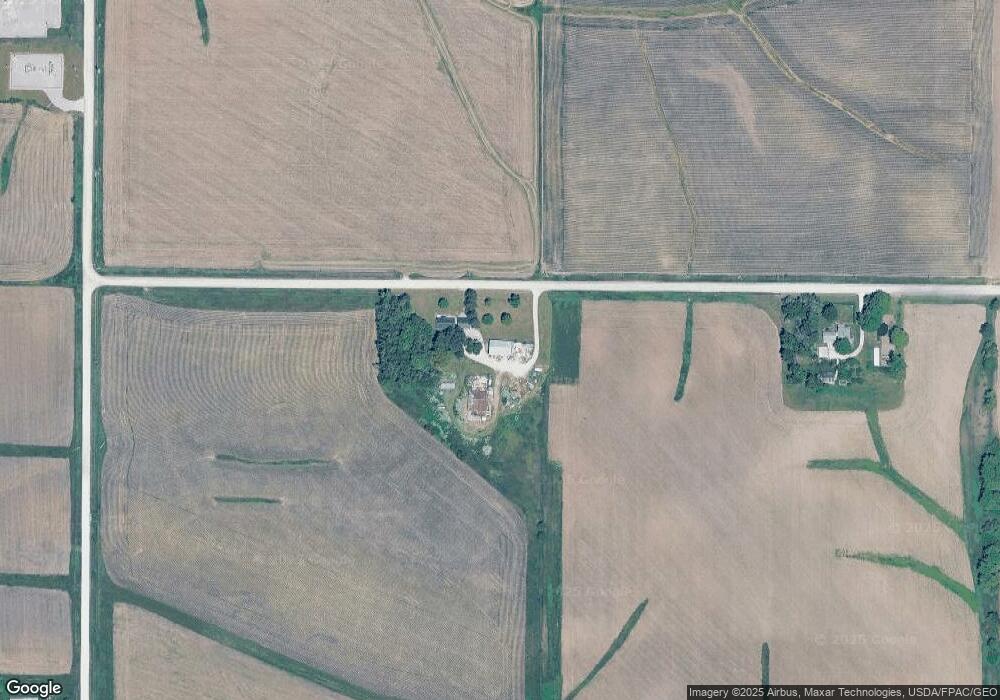
Map
Nearby Homes
- 5440 Lower West Branch Rd SE
- 5424 400th St SE
- Lot 5 Meadows Subdivision Part 6
- Lot 11 Meadows Subdivision Part 6
- Lots 1 & 2
- Lot 7 Meadows Subdivision Part 6
- Lot 13 Meadows Subdivision Part 6
- Lot 3 Meadows Subdivision Part 6
- Lot 10 Meadows Subdivision Part 6
- Lot 4 Meadows Subdivision Part 6
- Lot 9 Meadows Subdivision Part 6
- Lot 8 Meadows Subdivision Part 6
- Lot 14 Meadows Subdivision Part 6
- Lot 12 Meadows Subdivision Part 6
- Lot 6 Meadows Subdivision Part 6
- Lot 16 Meadows Subdivision Part 6
- Lot 18 Meadows Subdivision Part 6
- Lot 15 Meadows Subdivision Part 6
- Lot 17 Meadows Subdivision Part 6
- Lot 19 Meadows Subdivision Part 6
- 5685 380th St SE
- 3855 Oasis Rd SE
- 5724 380th St SE
- 5745 380th St SE
- 5511 Lower West Branch Rd SE
- 5503 Lower West Branch Rd SE
- 3920 Oasis Rd SE
- 5654 Lower West Branch Rd SE
- 5665 Lower West Branch Rd SE
- 3865 Johnson Cedar Rd SE
- 2000 Cedar Johnson Rd
- 4 300th St
- 3639 Oasis Rd NE
- 2002 Cedar Johnson Rd
- 2036 Cedar Johnson Rd
- 2050 Cedar Johnson Rd
- 5463 Lower West Branch Rd SE
- 5663 Herbert Hoover Hwy NE
- 5622 400th St SE
- 5656 400th St SE