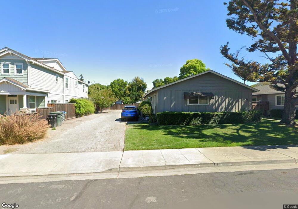
564 Annie Laurie St Unit 7 Mountain View, CA 94043
Whisman NeighborhoodEstimated Value: $627,251 - $806,000
2
Beds
1
Bath
880
Sq Ft
$803/Sq Ft
Est. Value
About This Home
This home is located at 564 Annie Laurie St Unit 7, Mountain View, CA 94043 and is currently estimated at $707,063, approximately $803 per square foot. 564 Annie Laurie St Unit 7 is a home located in Santa Clara County with nearby schools including Amy Imai Elementary School, Crittenden Middle School, and Mountain View High School.
Ownership History
Date
Name
Owned For
Owner Type
Purchase Details
Closed on
May 13, 2019
Sold by
Otto Regina V
Bought by
Otto Regina V and The 2019 Regina V Otto Trust
Current Estimated Value
Purchase Details
Closed on
Apr 28, 2011
Sold by
Otto Regina V
Bought by
Otto Regina
Purchase Details
Closed on
Aug 13, 2003
Sold by
Menard Louise Jean
Bought by
Menard Louise Jean
Purchase Details
Closed on
May 15, 1998
Sold by
Otto Regina V and Menard Regina
Bought by
Menard Louise
Create a Home Valuation Report for This Property
The Home Valuation Report is an in-depth analysis detailing your home's value as well as a comparison with similar homes in the area
Home Values in the Area
Average Home Value in this Area
Purchase History
| Date | Buyer | Sale Price | Title Company |
|---|---|---|---|
| Otto Regina V | -- | None Available | |
| Otto Regina | -- | None Available | |
| Menard Louise Jean | -- | -- | |
| Menard Louise | -- | -- |
Source: Public Records
Tax History Compared to Growth
Tax History
| Year | Tax Paid | Tax Assessment Tax Assessment Total Assessment is a certain percentage of the fair market value that is determined by local assessors to be the total taxable value of land and additions on the property. | Land | Improvement |
|---|---|---|---|---|
| 2025 | $1,041 | $67,162 | $23,297 | $43,865 |
| 2024 | $1,041 | $65,846 | $22,841 | $43,005 |
| 2023 | $1,032 | $64,556 | $22,394 | $42,162 |
| 2022 | $1,028 | $63,291 | $21,955 | $41,336 |
| 2021 | $1,007 | $62,051 | $21,525 | $40,526 |
| 2020 | $1,008 | $61,416 | $21,305 | $40,111 |
| 2019 | $895 | $60,213 | $20,888 | $39,325 |
| 2018 | $899 | $59,033 | $20,479 | $38,554 |
| 2017 | $870 | $57,877 | $20,078 | $37,799 |
| 2016 | $778 | $56,743 | $19,685 | $37,058 |
| 2015 | $759 | $55,892 | $19,390 | $36,502 |
| 2014 | $755 | $54,798 | $19,011 | $35,787 |
Source: Public Records
Map
Nearby Homes
- 530 Devonshire Ct
- 175 Evandale Ave Unit 2
- 248 Walker Dr Unit 2
- 99 Sherland Ave Unit B
- 94 Flynn Ave Unit D
- 90 Flynn Ave Unit C
- 139 Flynn Ave
- 149 Flynn Ave
- 110 E Middlefield Rd Unit C
- 647 Alamo Ct
- 280 Easy St Unit 311
- 751 San Pablo Dr
- 198 Ada Ave
- 71 Gladys Ave
- 163 Gladys Ave
- 201 Ada Ave Unit 25
- 876 San Simeon Dr
- 905 W Middlefield Rd Unit 924
- 3418 Pyramid Way
- 280 Orchard Ave Unit K
- 564 Annie Laurie St Unit 11
- 564 Annie Laurie St Unit 10
- 564 Annie Laurie St Unit 9
- 564 Annie Laurie St Unit 8
- 564 Annie Laurie St Unit 1
- 564 Annie Laurie St Unit 2
- 564 Annie Laurie St Unit 3
- 564 Annie Laurie St Unit 4
- 564 Annie Laurie St Unit 5
- 564 Annie Laurie St Unit 6
- 537A Piazza Dr
- 564 Annie Laurie Ave Unit 11
- 56 Annie Laurie St
- 549 Piazza Dr
- 531A Piazza Dr
- 531 Piazza Dr Unit A
- 532 Devonshire Ct
- 54 Annie Laurie St Unit A
- 54 Annie Laurie St
- 534 Devonshire Ct