Estimated Value: $203,259 - $220,000
3
Beds
2
Baths
1,620
Sq Ft
$131/Sq Ft
Est. Value
About This Home
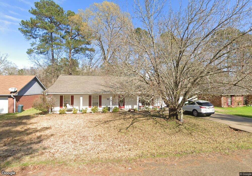
This home is located at 564 Buchanan Dr, Byram, MS 39272 and is currently estimated at $211,815, approximately $130 per square foot. 564 Buchanan Dr is a home located in Hinds County with nearby schools including Gary Road Elementary School, Gary Road Intermediate School, and Byram Middle School.
Ownership History
Date
Name
Owned For
Owner Type
Purchase Details
Closed on
Feb 20, 2019
Sold by
Hollis Nina
Bought by
Hollis Chase P
Current Estimated Value
Home Financials for this Owner
Home Financials are based on the most recent Mortgage that was taken out on this home.
Original Mortgage
$142,000
Outstanding Balance
$28,913
Interest Rate
4.4%
Mortgage Type
FHA
Estimated Equity
$182,902
Purchase Details
Closed on
Dec 20, 2012
Sold by
Hollis Nancy E
Bought by
Hollis Nina
Create a Home Valuation Report for This Property
The Home Valuation Report is an in-depth analysis detailing your home's value as well as a comparison with similar homes in the area
Home Values in the Area
Average Home Value in this Area
Purchase History
| Date | Buyer | Sale Price | Title Company |
|---|---|---|---|
| Hollis Chase P | -- | -- | |
| Hollis Nina | -- | -- | |
| Hollis Nina | -- | -- |
Source: Public Records
Mortgage History
| Date | Status | Borrower | Loan Amount |
|---|---|---|---|
| Open | Hollis Chase P | $142,000 |
Source: Public Records
Tax History
| Year | Tax Paid | Tax Assessment Tax Assessment Total Assessment is a certain percentage of the fair market value that is determined by local assessors to be the total taxable value of land and additions on the property. | Land | Improvement |
|---|---|---|---|---|
| 2025 | $1,576 | $10,290 | $2,500 | $7,790 |
| 2024 | $1,576 | $10,059 | $2,500 | $7,559 |
| 2023 | $1,576 | $10,059 | $2,500 | $7,559 |
| 2022 | $1,547 | $10,059 | $2,500 | $7,559 |
| 2021 | $1,527 | $10,059 | $2,500 | $7,559 |
| 2020 | $2,234 | $14,909 | $3,750 | $11,159 |
| 2019 | $0 | $9,939 | $2,500 | $7,439 |
| 2018 | $0 | $9,939 | $2,500 | $7,439 |
| 2017 | $357 | $9,939 | $2,500 | $7,439 |
| 2016 | $357 | $9,939 | $2,500 | $7,439 |
| 2015 | $334 | $9,784 | $2,500 | $7,284 |
| 2014 | $330 | $9,784 | $2,500 | $7,284 |
Source: Public Records
Map
Nearby Homes
- 640 Statesman Dr
- 0 Byram Place
- 737 Forest Woods Dr Unit 48
- 3118 Tynes Dr
- 724 Forest Woods Dr
- 125 Churchill Place
- 273 W Lake Dockery Dr
- 3211 Ryan Cove
- 0 Henderson Rd Unit 4126215
- 127 Torrence Cove
- 108 Forest Lake Dr
- 316 Southhaven Dr
- 73 Dianne Cove
- 5733 Terry Rd
- 5026 Womack Dr
- 00 Terry Rd
- 4954 Brookwood Place
- 11 Haven Cove
- 5652 Terry Rd
- 5846 Terry Rd
- 560 Buchanan Dr
- 300 Page Cove
- 605 Statesman Dr
- 609 Statesman Dr
- 637 Statesman Dr
- 624 Statesman Dr
- 632 Statesman Dr
- 636 Statesman Dr
- 118 Archer Way
- 201 Longfellow Cove
- 216 Longfellow Cove
- 613 Statesman Dr
- 612 Statesman Dr
- 608 Statesman Dr
- 104 Archer Way
- 100 Archer Way
- 601 Statesman Dr
- 628 Statesman Dr
- 616 Statesman Dr
- 641 Statesman Dr
Your Personal Tour Guide
Ask me questions while you tour the home.