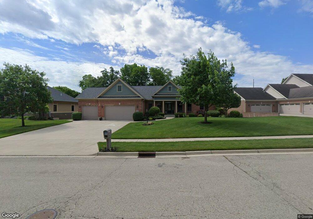
564 Burnside Dr Tipp City, OH 45371
Estimated Value: $534,000 - $578,000
4
Beds
5
Baths
4,600
Sq Ft
$119/Sq Ft
Est. Value
About This Home
This home is located at 564 Burnside Dr, Tipp City, OH 45371 and is currently estimated at $548,384, approximately $119 per square foot. 564 Burnside Dr is a home located in Miami County with nearby schools including Broadway Elementary School, Nevin Coppock Elementary School, and L. T. Ball Intermediate School.
Ownership History
Date
Name
Owned For
Owner Type
Purchase Details
Closed on
Apr 10, 2007
Sold by
The Lajahn Co
Bought by
Peterson Garry L and Peterson Cheryl A
Current Estimated Value
Home Financials for this Owner
Home Financials are based on the most recent Mortgage that was taken out on this home.
Original Mortgage
$293,500
Outstanding Balance
$173,997
Interest Rate
6.25%
Mortgage Type
New Conventional
Estimated Equity
$374,387
Purchase Details
Closed on
Mar 29, 2005
Sold by
The Blair Group Land Co
Bought by
The La Jahn Co
Create a Home Valuation Report for This Property
The Home Valuation Report is an in-depth analysis detailing your home's value as well as a comparison with similar homes in the area
Home Values in the Area
Average Home Value in this Area
Purchase History
| Date | Buyer | Sale Price | Title Company |
|---|---|---|---|
| Peterson Garry L | $390,000 | -- | |
| The La Jahn Co | $128,000 | -- |
Source: Public Records
Mortgage History
| Date | Status | Borrower | Loan Amount |
|---|---|---|---|
| Open | The La Jahn Co | $293,500 |
Source: Public Records
Tax History
| Year | Tax Paid | Tax Assessment Tax Assessment Total Assessment is a certain percentage of the fair market value that is determined by local assessors to be the total taxable value of land and additions on the property. | Land | Improvement |
|---|---|---|---|---|
| 2025 | $6,808 | $163,030 | $21,000 | $142,030 |
| 2024 | $6,808 | $154,180 | $21,000 | $133,180 |
| 2023 | $7,675 | $154,180 | $21,000 | $133,180 |
| 2022 | $6,996 | $154,180 | $21,000 | $133,180 |
| 2021 | $6,430 | $128,490 | $17,500 | $110,990 |
| 2020 | $6,509 | $128,490 | $17,500 | $110,990 |
| 2019 | $6,568 | $128,490 | $17,500 | $110,990 |
| 2018 | $6,023 | $109,970 | $17,500 | $92,470 |
| 2017 | $6,046 | $109,970 | $17,500 | $92,470 |
| 2016 | $5,843 | $109,970 | $17,500 | $92,470 |
| 2015 | $5,511 | $109,970 | $17,500 | $92,470 |
| 2014 | $5,511 | $109,970 | $17,500 | $92,470 |
| 2013 | $5,539 | $109,970 | $17,500 | $92,470 |
Source: Public Records
Map
Nearby Homes
- 582 Storm Ct
- 465 Cayman Cir
- 3192 White Ash Dr
- 4344 Wildflower Dr
- 1109 Honeydew Dr
- 715 Fern Ct
- 635 Kitrina Ave Unit B
- 919 Cypress Place
- 5127 Catalpa Dr
- 5166 Catalpa Dr
- 1300 Ginghamsburg Rd
- 604 S 3rd St
- 514 S 3rd St
- 1270 Virginia Dr
- 1305 Edwards Dr
- 619 Rohrer Dr
- 1300 Edwards Dr
- 290 Ginghamsburg Rd
- 36 Acres S County Rd Unit 25A
- S County Rd Unit 25A
- 580 Burnside Dr
- 548 Burnside Dr
- 596 Burnside Dr
- 563 Burnside Dr
- 579 Burnside Dr
- 490 Burnside Dr
- 547 Burnside Dr
- 595 Burnside Dr
- 604 Burnside Dr
- 505 Burnside Dr
- 515 Burnside Dr
- 603 Burnside Dr
- 480 Burnside Dr
- 495 Burnside Dr
- 568 Storm Ct
- 470 Burnside Dr
- 619 Burnside Dr
- 460 Burnside Dr
- 496 Cayman Cir
- 538 Storm Ct
Your Personal Tour Guide
Ask me questions while you tour the home.