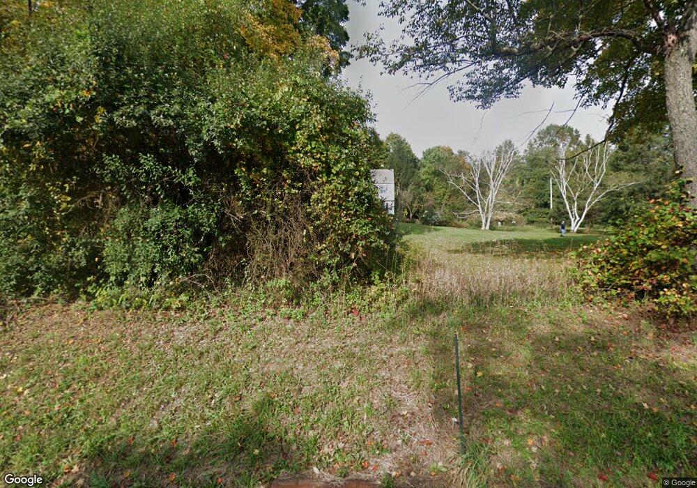
564 Charlestown Rd Hampton, NJ 08827
Estimated Value: $533,551 - $767,000
Studio
--
Bath
2,058
Sq Ft
$299/Sq Ft
Est. Value
About This Home
This home is located at 564 Charlestown Rd, Hampton, NJ 08827 and is currently estimated at $615,888, approximately $299 per square foot. 564 Charlestown Rd is a home located in Hunterdon County with nearby schools including Thomas.B. Conley Elementary School, Ethel Hoppock Middle School, and North Hunterdon High School.
Ownership History
Date
Name
Owned For
Owner Type
Purchase Details
Closed on
Jul 18, 2003
Sold by
Caccavelli Joseph
Bought by
Mcguire William T and Mcguire Susan L
Current Estimated Value
Home Financials for this Owner
Home Financials are based on the most recent Mortgage that was taken out on this home.
Original Mortgage
$280,000
Outstanding Balance
$122,893
Interest Rate
5.69%
Estimated Equity
$492,995
Create a Home Valuation Report for This Property
The Home Valuation Report is an in-depth analysis detailing your home's value as well as a comparison with similar homes in the area
Home Values in the Area
Average Home Value in this Area
Purchase History
| Date | Buyer | Sale Price | Title Company |
|---|---|---|---|
| Mcguire William T | $380,000 | -- |
Source: Public Records
Mortgage History
| Date | Status | Borrower | Loan Amount |
|---|---|---|---|
| Open | Mcguire William T | $280,000 |
Source: Public Records
Tax History Compared to Growth
Tax History
| Year | Tax Paid | Tax Assessment Tax Assessment Total Assessment is a certain percentage of the fair market value that is determined by local assessors to be the total taxable value of land and additions on the property. | Land | Improvement |
|---|---|---|---|---|
| 2025 | $9,624 | $519,400 | $160,000 | $359,400 |
| 2024 | $9,261 | $295,300 | $108,300 | $187,000 |
| 2023 | $9,261 | $295,300 | $108,300 | $187,000 |
| 2022 | $8,956 | $295,300 | $108,300 | $187,000 |
| 2021 | $8,640 | $295,300 | $108,300 | $187,000 |
| 2020 | $8,844 | $295,300 | $108,300 | $187,000 |
| 2019 | $8,640 | $295,300 | $108,300 | $187,000 |
| 2018 | $8,425 | $295,300 | $108,300 | $187,000 |
| 2017 | $8,369 | $295,300 | $108,300 | $187,000 |
| 2016 | $8,558 | $295,300 | $108,300 | $187,000 |
| 2015 | $8,561 | $295,300 | $108,300 | $187,000 |
| 2014 | $8,280 | $295,300 | $108,300 | $187,000 |
Source: Public Records
Map
Nearby Homes
- 217 van Syckels Rd
- 420 Bellwood Ave
- 584 County Road 614
- 118 Apgar Way
- 69 Baptist Church Rd
- 571 Route 614
- 478 Charlestown Rd
- 38 S Polktown Rd
- 19 S Polktown Rd
- 2 Stony Brook Ln
- 20 S Polktown Rd
- 58 Oakwood Blvd
- 601 Fox Farm Rd
- 1 Dove Hollow Ln
- 22 Polktown Rd
- 140 Driftway E
- 745 County Road 625
- 0 Baptist Church Rd
- 484 Route614
- 1116 New Jersey 173
- 566 Charlestown Rd
- 562 Charlestown Rd
- 563 Charlestown Rd
- 561 Charlestown Rd
- 558 Charlestown Rd
- 38 County Road 635
- 555 Charlestown Rd
- 45 Route 635
- 858 Norton Church Rd
- 45 County Road 635
- 560 Charlestown Rd
- 862 Norton Church Rd
- 862 Norton Church Rd
- 43 County Road 635
- 36 County Road 635
- 556 Charlestown Rd
- 41 County Road 635
- 553 Charlestown Rd
- 34 County Road 635
- 33 County Road 635
