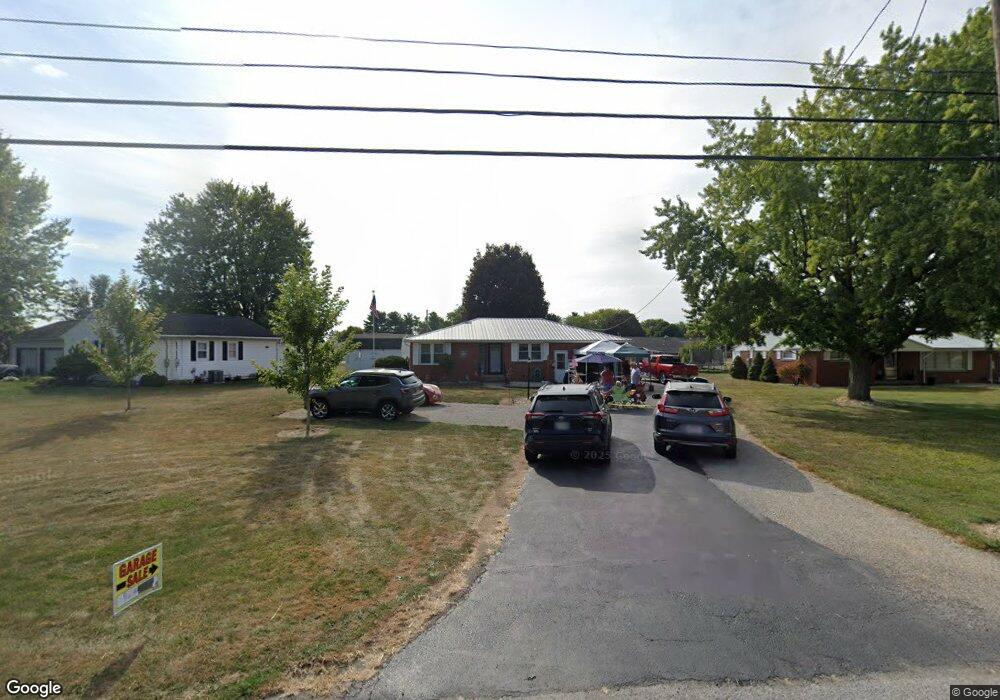
564 N Warpole St Upper Sandusky, OH 43351
Estimated Value: $153,000 - $199,000
2
Beds
2
Baths
980
Sq Ft
$181/Sq Ft
Est. Value
About This Home
This home is located at 564 N Warpole St, Upper Sandusky, OH 43351 and is currently estimated at $177,867, approximately $181 per square foot. 564 N Warpole St is a home located in Wyandot County with nearby schools including Upper Sandusky High School and St. Peter Elementary School.
Ownership History
Date
Name
Owned For
Owner Type
Purchase Details
Closed on
Jun 8, 2018
Sold by
Stump Kim M
Bought by
Walterhouse Brenda Louise and Long Steven R
Current Estimated Value
Home Financials for this Owner
Home Financials are based on the most recent Mortgage that was taken out on this home.
Original Mortgage
$78,551
Outstanding Balance
$67,933
Interest Rate
4.5%
Mortgage Type
FHA
Estimated Equity
$109,934
Create a Home Valuation Report for This Property
The Home Valuation Report is an in-depth analysis detailing your home's value as well as a comparison with similar homes in the area
Home Values in the Area
Average Home Value in this Area
Purchase History
| Date | Buyer | Sale Price | Title Company |
|---|---|---|---|
| Walterhouse Brenda Louise | $80,000 | None Available |
Source: Public Records
Mortgage History
| Date | Status | Borrower | Loan Amount |
|---|---|---|---|
| Open | Walterhouse Brenda Louise | $78,551 |
Source: Public Records
Tax History Compared to Growth
Tax History
| Year | Tax Paid | Tax Assessment Tax Assessment Total Assessment is a certain percentage of the fair market value that is determined by local assessors to be the total taxable value of land and additions on the property. | Land | Improvement |
|---|---|---|---|---|
| 2024 | $1,316 | $41,360 | $8,270 | $33,090 |
| 2023 | $1,316 | $41,360 | $8,270 | $33,090 |
| 2022 | $1,316 | $32,250 | $6,720 | $25,530 |
| 2021 | $1,074 | $32,250 | $6,720 | $25,530 |
| 2020 | $1,074 | $32,250 | $6,720 | $25,530 |
| 2019 | $1,072 | $32,250 | $6,720 | $25,530 |
| 2018 | $887 | $27,180 | $6,340 | $20,840 |
| 2017 | $901 | $27,180 | $6,340 | $20,840 |
| 2016 | -- | $27,180 | $6,340 | $20,840 |
| 2015 | -- | $26,380 | $6,340 | $20,040 |
| 2014 | -- | $26,380 | $6,340 | $20,040 |
| 2013 | -- | $26,380 | $6,340 | $20,040 |
Source: Public Records
Map
Nearby Homes
- 606 Polaris Dr
- 324 Keller Ct
- 386 W Finley St
- 453 N 7th St
- 9768 Township Road 111
- 137 N 8th St
- 620 Mission Dr
- 230 E Bigelow St
- 334 N 4th St
- 314 N 4th St
- 116 E Walker St
- 225 S Hazel St
- 346 W Hicks St
- 326 S 8th St
- 435 Front St
- 213 E Johnson St
- 305 S 5th St
- 0 State Route 53 & 67 Unit 11165687
- 430 S Sandusky Ave
- 105 River St
- 556 N Warpole St
- 574 N Warpole St
- 513 Gamber Ct
- 523 Gamber Ct
- 503 Gamber Ct
- 533 Gamber Ct
- 551 N Warpole St
- 545 N Warpole St
- 582 N Warpole St
- 512 Gamber Ct
- 557 N Warpole St
- 502 Gamber Ct
- 810 Gamber Dr
- 539 N Warpole St
- 522 Gamber Ct
- 539 N Warpole St
- 563 N Warpole St
- 603 Gamber Ct
- 521 Kroger Dr
- 533 N Warpole St