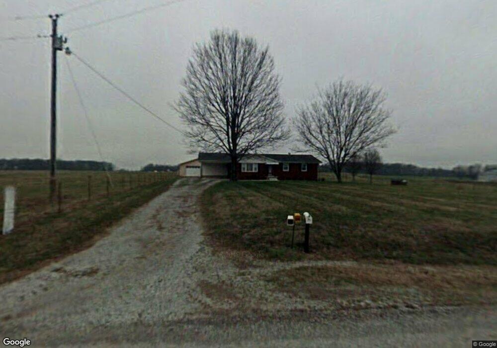
564 Petty Rd Manchester, TN 37355
Estimated Value: $252,000 - $286,000
--
Bed
1
Bath
1,408
Sq Ft
$188/Sq Ft
Est. Value
About This Home
This home is located at 564 Petty Rd, Manchester, TN 37355 and is currently estimated at $264,124, approximately $187 per square foot. 564 Petty Rd is a home located in Coffee County with nearby schools including Deerfield Elementary School, Coffee County Middle School, and Coffee County Central High School.
Ownership History
Date
Name
Owned For
Owner Type
Purchase Details
Closed on
May 4, 2021
Sold by
Cox Charles Thomas and Cox Bobbie D
Bought by
Prater Angela R
Current Estimated Value
Home Financials for this Owner
Home Financials are based on the most recent Mortgage that was taken out on this home.
Original Mortgage
$156,565
Outstanding Balance
$141,887
Interest Rate
3.1%
Mortgage Type
USDA
Estimated Equity
$122,237
Purchase Details
Closed on
May 7, 2020
Sold by
Cox Charles Thomas and Cox Bobbie D
Bought by
Cox Charles Thomas and Cox Bobbie D
Purchase Details
Closed on
Aug 13, 2013
Sold by
Freeze Russell K
Bought by
Cox Charles Thomas and Cox Bobbie Dean
Purchase Details
Closed on
Aug 17, 2000
Sold by
Freeze Stan
Bought by
Freeze Russell K
Home Financials for this Owner
Home Financials are based on the most recent Mortgage that was taken out on this home.
Original Mortgage
$65,000
Interest Rate
8.24%
Create a Home Valuation Report for This Property
The Home Valuation Report is an in-depth analysis detailing your home's value as well as a comparison with similar homes in the area
Home Values in the Area
Average Home Value in this Area
Purchase History
| Date | Buyer | Sale Price | Title Company |
|---|---|---|---|
| Prater Angela R | $150,000 | None Available | |
| Cox Charles Thomas | -- | None Available | |
| Cox Charles Thomas | $100,000 | -- | |
| Freeze Russell K | $85,000 | -- |
Source: Public Records
Mortgage History
| Date | Status | Borrower | Loan Amount |
|---|---|---|---|
| Open | Prater Angela R | $156,565 | |
| Previous Owner | Freeze Russell K | $65,000 |
Source: Public Records
Tax History Compared to Growth
Tax History
| Year | Tax Paid | Tax Assessment Tax Assessment Total Assessment is a certain percentage of the fair market value that is determined by local assessors to be the total taxable value of land and additions on the property. | Land | Improvement |
|---|---|---|---|---|
| 2024 | $952 | $40,825 | $1,950 | $38,875 |
| 2023 | $952 | $40,825 | $0 | $0 |
| 2022 | $952 | $40,825 | $1,950 | $38,875 |
| 2021 | $809 | $27,600 | $1,475 | $26,125 |
| 2020 | $809 | $27,600 | $1,475 | $26,125 |
| 2019 | $809 | $27,600 | $1,475 | $26,125 |
| 2018 | $809 | $27,600 | $1,475 | $26,125 |
| 2017 | $837 | $25,650 | $2,000 | $23,650 |
| 2016 | $837 | $25,650 | $2,000 | $23,650 |
| 2015 | $837 | $25,650 | $2,000 | $23,650 |
| 2014 | $837 | $25,649 | $0 | $0 |
Source: Public Records
Map
Nearby Homes
- 89 Saddle St
- 389 Houston Bell Rd
- 1 Summitville Rd
- 0 Duncan Rd
- 6748 Woodbury Hwy
- 124 Houston Bell Rd
- 967 Mud Creek Rd
- 8141 Woodbury Hwy Unit 8141
- 272 Jacoby Dr
- 233 Jacoby Dr
- 0 Pete Sain Rd
- 2498 Sp Anderson Rd
- 650 Parker Rd
- 7896 Shady Grove Rd
- 667 Pete Sain Rd
- 0 Mcafee Rd
- 2635 Pete Sain Rd
- 0 Mcafee E Unit RTC2865293
- 363 Willow Brook Dr
- 1798 Pocahontas Rd