5641 E Russet Ridge Ln Springfield, MO 65802
Southeast Springfield NeighborhoodEstimated Value: $273,000 - $379,000
3
Beds
2
Baths
1,465
Sq Ft
$205/Sq Ft
Est. Value
About This Home
This home is located at 5641 E Russet Ridge Ln, Springfield, MO 65802 and is currently estimated at $300,692, approximately $205 per square foot. 5641 E Russet Ridge Ln is a home located in Greene County with nearby schools including Hickory Hills K-8 School and Glendale High School.
Ownership History
Date
Name
Owned For
Owner Type
Purchase Details
Closed on
Apr 25, 2024
Sold by
Jerry And Esther Ellis Family Trust and Ellis Jerry Dale
Bought by
Jeffrey C Hutchens Revocable Trust and Hutchens
Current Estimated Value
Purchase Details
Closed on
Oct 13, 2011
Sold by
Ellis Jerry Dale and Ellis Esther Delene
Bought by
Ellis Jerry Dale and Ellis Esther Delene
Create a Home Valuation Report for This Property
The Home Valuation Report is an in-depth analysis detailing your home's value as well as a comparison with similar homes in the area
Home Values in the Area
Average Home Value in this Area
Purchase History
| Date | Buyer | Sale Price | Title Company |
|---|---|---|---|
| Jeffrey C Hutchens Revocable Trust | -- | None Listed On Document | |
| Ellis Jerry Dale | -- | None Available |
Source: Public Records
Tax History Compared to Growth
Tax History
| Year | Tax Paid | Tax Assessment Tax Assessment Total Assessment is a certain percentage of the fair market value that is determined by local assessors to be the total taxable value of land and additions on the property. | Land | Improvement |
|---|---|---|---|---|
| 2025 | $1,751 | $34,390 | $9,820 | $24,570 |
| 2024 | $1,751 | $31,010 | $7,450 | $23,560 |
| 2023 | $0 | $31,010 | $7,450 | $23,560 |
| 2022 | $1,642 | $28,140 | $7,450 | $20,690 |
| 2021 | $1,555 | $28,140 | $7,450 | $20,690 |
| 2020 | $1,523 | $26,240 | $7,450 | $18,790 |
| 2019 | $1,483 | $26,240 | $7,450 | $18,790 |
| 2018 | $1,394 | $24,650 | $7,450 | $17,200 |
| 2017 | $1,381 | $23,240 | $7,450 | $15,790 |
| 2016 | $1,301 | $23,240 | $7,450 | $15,790 |
| 2015 | $1,291 | $23,240 | $7,450 | $15,790 |
| 2014 | $1,271 | $22,710 | $7,450 | $15,260 |
Source: Public Records
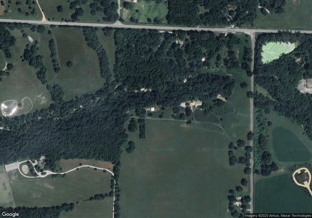
Map
Nearby Homes
- 1984 N Alysheba Ct
- Lot 1 Morningwood
- 1999 N Alysheba Ct
- 2025 N Unbridled Ct
- 5558 E Cavalcade Ln
- 5546 E Cavalcade Ln
- 5534 E Cavalcade Ln
- 1999 N Riva Ridge Ct
- 5564 E Wild Horse Dr
- 1961 N Cannonade Ct
- Lake Edge Plan at Wild Horse
- Lake Edge II Plan at Wild Horse
- Lancaster II Plan at Wild Horse
- Meadowood Plan at Wild Horse
- Palomino Plan at Wild Horse
- Silverado Plan at Wild Horse
- Stone Ridge Plan at Wild Horse
- Emerson Plan at Wild Horse
- Lancaster I Plan at Wild Horse
- Lot 14 E Farm Road 132
- 5607 E Russet Ridge Ln
- 5725 E Russet Ridge Ln
- 5646 E State Highway Yy
- 5682 E State Highway Yy
- 5716 E State Highway Yy
- 1524 N Farm Road 203
- 1425 N Farm Road 205
- 5713 E Division St
- 5501 E Four Wheel Dr
- 5521 E Division St
- 1612 N Farm Road 203
- 1119 N Farm Road 205
- 5892 E State Highway Yy
- 1071 N Farm Road 205
- 1055 N Farm Road 205
- 5455 E State Highway Yy
- 5362 E State Highway Yy
- 1643 N Farm Road 203
- All Lots of Wild Horse Subdivision
- 5377 E Foxgrove Ln