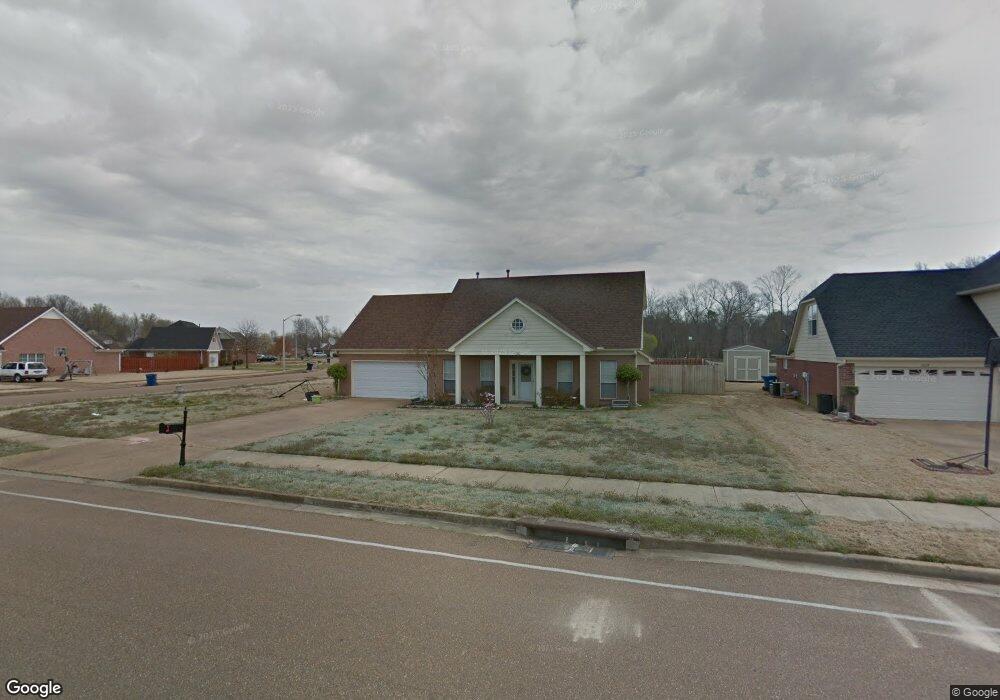
5642 Michaelson Dr Olive Branch, MS 38654
Estimated Value: $238,000 - $293,647
About This Home
This home is located at 5642 Michaelson Dr, Olive Branch, MS 38654 and is currently estimated at $276,162, approximately $128 per square foot. 5642 Michaelson Dr is a home located in DeSoto County with nearby schools including Olive Branch Elementary School, Chickasaw Elementary School, and Olive Branch Middle School.
Ownership History
We collect this data history from publicly available records. To have your information removed, we recommend requesting removal directly through your county’s website.
Purchase Details
Purchase Details
Home Financials for this Owner
Home Financials are based on the most recent Mortgage that was taken out on this home.Home Values in the Area
Average Home Value in this Area
Purchase History
We collect this data history from publicly available records. To have your information removed, we recommend requesting removal directly through your county’s website.
| Date | Buyer | Sale Price | Title Company |
|---|---|---|---|
| -- | Guardian Title | ||
| -- | None Available |
Mortgage History
We collect this data history from publicly available records. To have your information removed, we recommend requesting removal directly through your county’s website.
| Date | Status | Borrower | Loan Amount |
|---|---|---|---|
| Previous Owner | $125,190 |
Tax History
We collect this data history from publicly available records. To have your information removed, we recommend requesting removal directly through your county’s website.
| Year | Tax Paid | Tax Assessment Tax Assessment Total Assessment is a certain percentage of the fair market value that is determined by local assessors to be the total taxable value of land and additions on the property. | Land | Improvement |
|---|---|---|---|---|
| 2025 | $1,804 | $18,167 | $2,500 | $15,667 |
| 2024 | $1,518 | $13,319 | $2,500 | $10,819 |
| 2023 | $1,518 | $13,319 | $0 | $0 |
| 2022 | $1,518 | $13,319 | $2,500 | $10,819 |
| 2021 | $1,518 | $13,319 | $2,500 | $10,819 |
| 2020 | $1,393 | $12,408 | $2,500 | $9,908 |
| 2019 | $1,393 | $12,408 | $2,500 | $9,908 |
| 2017 | $1,361 | $21,710 | $12,105 | $9,605 |
| 2016 | $1,425 | $12,570 | $2,500 | $10,070 |
| 2015 | $1,725 | $22,640 | $12,570 | $10,070 |
| 2014 | $1,425 | $12,570 | $0 | $0 |
| 2013 | $1,374 | $12,570 | $0 | $0 |
Map
- 5683 Sparrow Run
- 5881 Morganton Dr
- 5844 Stonewall Dr
- 13698 River Grove Ln
- 2914 Cypress Lake Dr S
- 9932 Victor Dr S
- 9598 Nielsen Dr
- 5944 Southbend Ln
- 5947 White Ridge Cir W
- 5212 Weathers Dr
- 6127 Morgan Manor Dr W
- 5594 Marlin Place
- 9284 Brooks Dr
- 5608 Marlin Place
- 6406 Cherokee Dr
- 6093 Shadow Oaks Cove S
- 7550 Old Highway 78
- 5722 Marlin Place
- 9868 Sequoia Ln
- 5427 Highway 305 N
- 5628 Michaelson Dr
- 5592 Southbend Ln
- 5592 Southbend Ln
- 5614 Michaelson Dr
- 5670 Michaelson Dr
- 5647 Michaelson Dr
- 5633 Michaelson Dr
- 5606 Southbend Ln
- 5661 Michaelson Dr
- 5605 Southbend Ln
- 5600 Michaelson Dr
- 5675 Michaelson Dr
- 5684 Michaelson Dr
- 5619 Michaelson Dr
- 0 Blocker St
- 5586 Michaelson Dr
- 5633 Southbend Ln
- 5620 Southbend Ln
- 5689 Michaelson Dr
- 5648 Eagleston Dr
Ask me questions while you tour the home.