5643 Howard Rd Blackshear, GA 31516
Estimated Value: $309,000
3
Beds
3
Baths
2,494
Sq Ft
$124/Sq Ft
Est. Value
About This Home
This home is located at 5643 Howard Rd, Blackshear, GA 31516 and is currently estimated at $309,000, approximately $123 per square foot. 5643 Howard Rd is a home located in Pierce County with nearby schools including Pierce County High School.
Ownership History
Date
Name
Owned For
Owner Type
Purchase Details
Closed on
Jul 17, 2017
Sold by
Tanner Jennifer Leigh
Bought by
Moore Samantha Leigh
Current Estimated Value
Purchase Details
Closed on
Aug 18, 2016
Sold by
Joyce
Bought by
Tanner Jennifer Leigh
Purchase Details
Closed on
Jul 14, 2005
Sold by
Tanner Jennifer T
Bought by
Tanner Stephen R
Purchase Details
Closed on
Jan 24, 2005
Sold by
Turner Joyce
Bought by
Tanner Jennifer T
Purchase Details
Closed on
Jul 20, 1982
Sold by
Walker John Allen Estate
Bought by
Turner Joyce
Purchase Details
Closed on
Mar 30, 1976
Sold by
Walker J Allen
Bought by
Turner Joyce W
Create a Home Valuation Report for This Property
The Home Valuation Report is an in-depth analysis detailing your home's value as well as a comparison with similar homes in the area
Purchase History
| Date | Buyer | Sale Price | Title Company |
|---|---|---|---|
| Moore Samantha Leigh | -- | -- | |
| Tanner Jennifer Leigh | -- | -- | |
| Tanner Stephen R | -- | -- | |
| Tanner Jennifer T | -- | -- | |
| Turner Joyce | -- | -- | |
| Turner Joyce W | $3,600 | -- |
Source: Public Records
Tax History
| Year | Tax Paid | Tax Assessment Tax Assessment Total Assessment is a certain percentage of the fair market value that is determined by local assessors to be the total taxable value of land and additions on the property. | Land | Improvement |
|---|---|---|---|---|
| 2025 | $662 | $91,098 | $91,098 | $0 |
| 2024 | $662 | $91,098 | $91,098 | $0 |
| 2023 | $643 | $91,098 | $91,098 | $0 |
| 2022 | $727 | $86,087 | $85,873 | $214 |
| 2021 | $692 | $86,087 | $85,873 | $214 |
| 2020 | $684 | $86,087 | $85,873 | $214 |
| 2019 | $580 | $72,513 | $72,299 | $214 |
| 2018 | $1,676 | $115,282 | $74,216 | $41,066 |
| 2017 | $3,128 | $113,867 | $74,216 | $39,651 |
| 2016 | $1,374 | $111,767 | $74,216 | $37,551 |
| 2015 | $1,303 | $111,766 | $74,216 | $37,551 |
| 2014 | $1,303 | $111,767 | $74,216 | $37,551 |
| 2013 | $1,303 | $111,766 | $74,215 | $37,551 |
Source: Public Records
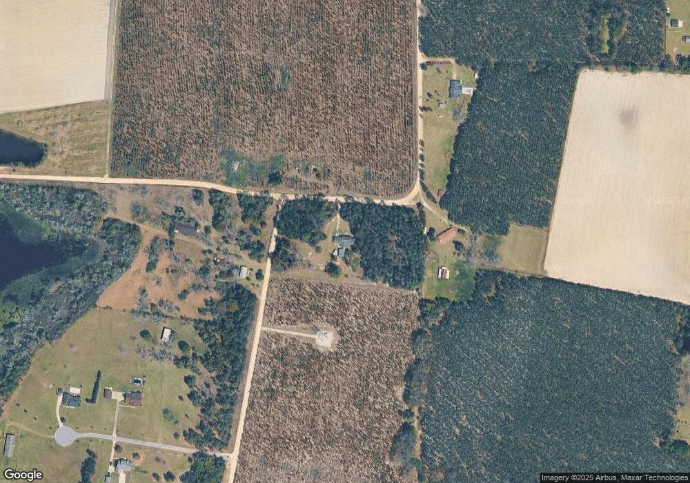
Map
Nearby Homes
- 4861 Stanfield Cir
- 5907 Owens Rd
- 4866 Stanfield Cir
- 0 Otter Creek Rd Unit 23325273
- 5466 Robin Rd
- 5512 Owens Rd
- 5817 Cantrell Rd
- 4758 Otter Creek Cir
- 4756 Otter Creek Cir
- 4750 Otter Creek Cir
- 4725 Otter Creek Cir
- 4720 Otter Creek Cir
- 6204 Cross Swamp Rd
- 3448 Nellie St
- 5518 W Railroad Ave
- 3442 Wildwood Ave
- 5772 Industrial Blvd
- 3540 Williams St
- 3501 Martin St
- 0 Trudie Rd
- 4880 Stanfield Cir
- 0 Stanfield Cir Unit 1642714
- 0 Stanfield Cir Unit 1635709
- 5703 Howard Rd
- 4852 Stanfield Cir
- 5769 Owens Rd
- 4876 Stanfield Cir
- 4859 Stanfield Cir
- 4863 Stanfield Cir
- 4869 Stanfield Cir
- 4875 Stanfield Cir
- 4871 Stanfield Cir
- 4873 Stanfield Cir
- 5729 Owens Rd
- 5861 Owens Rd
- 5023 Allen Walker Rd
- 5792 Owens Rd
- Lot 32 Stanfield Cir
- Lot 33 Stanfield Cir
- Lot 20 Stanfield Cir
Your Personal Tour Guide
Ask me questions while you tour the home.