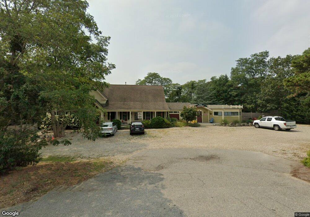
5645 State Hwy Eastham, MA 02642
Estimated Value: $620,146
3
Beds
6
Baths
1,200
Sq Ft
$517/Sq Ft
Est. Value
About This Home
This home is located at 5645 State Hwy, Eastham, MA 02642 and is currently estimated at $620,146, approximately $516 per square foot. 5645 State Hwy is a home located in Barnstable County with nearby schools including Eastham Elementary School, Nauset Regional Middle School, and Nauset Regional High School.
Ownership History
Date
Name
Owned For
Owner Type
Purchase Details
Closed on
Feb 23, 2005
Sold by
Chalmers Dawn M and Magliozzi Gail A
Bought by
Magliozzi Gail A
Current Estimated Value
Home Financials for this Owner
Home Financials are based on the most recent Mortgage that was taken out on this home.
Original Mortgage
$359,650
Outstanding Balance
$182,564
Interest Rate
5.73%
Mortgage Type
Commercial
Estimated Equity
$437,582
Purchase Details
Closed on
Jul 31, 1998
Sold by
Tanury George T and Tanury Diane
Bought by
Magliozzi Gail A and Chalmers Dawn M
Purchase Details
Closed on
Sep 14, 1988
Sold by
Bay Sea Ltd
Bought by
Tanury George T
Create a Home Valuation Report for This Property
The Home Valuation Report is an in-depth analysis detailing your home's value as well as a comparison with similar homes in the area
Home Values in the Area
Average Home Value in this Area
Purchase History
| Date | Buyer | Sale Price | Title Company |
|---|---|---|---|
| Magliozzi Gail A | -- | -- | |
| Magliozzi Gail A | -- | -- | |
| Magliozzi Gail A | -- | -- | |
| Magliozzi Gail A | $119,500 | -- | |
| Magliozzi Gail A | $119,500 | -- | |
| Tanury George T | $280,000 | -- |
Source: Public Records
Mortgage History
| Date | Status | Borrower | Loan Amount |
|---|---|---|---|
| Open | Magliozzi Gail A | $359,650 | |
| Closed | Magliozzi Gail A | $359,650 |
Source: Public Records
Tax History Compared to Growth
Tax History
| Year | Tax Paid | Tax Assessment Tax Assessment Total Assessment is a certain percentage of the fair market value that is determined by local assessors to be the total taxable value of land and additions on the property. | Land | Improvement |
|---|---|---|---|---|
| 2025 | $3,835 | $497,400 | $162,200 | $335,200 |
| 2024 | $3,431 | $489,400 | $157,500 | $331,900 |
| 2023 | $3,417 | $471,900 | $145,900 | $326,000 |
| 2022 | $3,651 | $425,500 | $130,200 | $295,300 |
| 2021 | $3,747 | $408,200 | $118,400 | $289,800 |
| 2020 | $3,631 | $416,400 | $120,800 | $295,600 |
| 2019 | $3,402 | $412,400 | $117,300 | $295,100 |
| 2018 | $3,385 | $405,400 | $113,900 | $291,500 |
| 2017 | $3,259 | $412,500 | $111,600 | $300,900 |
| 2016 | $3,044 | $409,100 | $111,600 | $297,500 |
| 2015 | $2,918 | $411,000 | $109,500 | $301,500 |
Source: Public Records
Map
Nearby Homes
- 100 Gigi Ln
- 5470 State Hwy
- 140 Harvest Rd
- 49 Village Ln
- 95 Toland Dr
- 1460 Massasoit Rd
- 46 Spring Brook Rd
- 495 Aspinet Rd
- 50 Silver Oak Rd
- 340 Salt Works Rd
- 35 Old County Rd Unit 1
- 35 Tracy Ln
- 10 Bradford Ln
- 90 Blue Heron Rd
- 100 Orchard Dr
- 255 Massasoit Rd
- 85 Huckleberry Ln
- 157 Brownell Rd
- 245 Nauset Light Beach Rd
- 135 Nauset Light Beach Rd