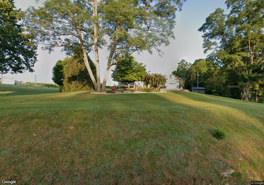
5645 Wheat Ridge Rd West Union, OH 45693
Estimated Value: $202,000 - $305,000
3
Beds
3
Baths
2,032
Sq Ft
$119/Sq Ft
Est. Value
About This Home
This home is located at 5645 Wheat Ridge Rd, West Union, OH 45693 and is currently estimated at $240,882, approximately $118 per square foot. 5645 Wheat Ridge Rd is a home located in Adams County with nearby schools including North Adams Elementary School and North Adams High School.
Ownership History
Date
Name
Owned For
Owner Type
Purchase Details
Closed on
Aug 8, 2007
Sold by
Baldwin William P and Liston Ruth A
Bought by
Baldwin William Patrick
Current Estimated Value
Home Financials for this Owner
Home Financials are based on the most recent Mortgage that was taken out on this home.
Original Mortgage
$90,000
Outstanding Balance
$57,303
Interest Rate
6.77%
Mortgage Type
New Conventional
Estimated Equity
$183,579
Purchase Details
Closed on
Jan 1, 1990
Bought by
Baldwin William P
Create a Home Valuation Report for This Property
The Home Valuation Report is an in-depth analysis detailing your home's value as well as a comparison with similar homes in the area
Home Values in the Area
Average Home Value in this Area
Purchase History
| Date | Buyer | Sale Price | Title Company |
|---|---|---|---|
| Baldwin William Patrick | -- | None Available | |
| Baldwin William P | -- | -- |
Source: Public Records
Mortgage History
| Date | Status | Borrower | Loan Amount |
|---|---|---|---|
| Open | Baldwin William Patrick | $90,000 |
Source: Public Records
Tax History Compared to Growth
Tax History
| Year | Tax Paid | Tax Assessment Tax Assessment Total Assessment is a certain percentage of the fair market value that is determined by local assessors to be the total taxable value of land and additions on the property. | Land | Improvement |
|---|---|---|---|---|
| 2024 | $1,712 | $46,520 | $3,820 | $42,700 |
| 2023 | $1,722 | $46,520 | $3,820 | $42,700 |
| 2022 | $1,710 | $42,490 | $2,800 | $39,690 |
| 2021 | $1,697 | $42,490 | $2,800 | $39,690 |
| 2020 | $1,732 | $42,490 | $2,800 | $39,690 |
| 2019 | $1,647 | $42,490 | $2,800 | $39,690 |
| 2018 | $1,367 | $35,880 | $2,800 | $33,080 |
| 2017 | $1,327 | $35,880 | $2,800 | $33,080 |
| 2016 | $1,325 | $35,880 | $2,800 | $33,080 |
| 2015 | $1,345 | $37,660 | $2,520 | $35,140 |
| 2014 | $1,345 | $37,660 | $2,520 | $35,140 |
Source: Public Records
Map
Nearby Homes
- 4603 Wheat Ridge Rd
- 4016 Unity Rd
- 3551 Unity Rd
- 13529 Ohio 247
- 0 Tranquility Pike
- 831 Tom Brown Rd
- ac Ohio 247
- 1.15 ac Ohio 247
- 17479 Ohio 247
- 113 Columbia St
- 2157 Tater Ridge Rd
- 6514 Tri County Rd
- 210 Walt Alsgood Rd
- 68 Curt Rd
- 125 Robinette Rd
- 1143 Dotson Rd
- 0 Lawshe Rd Unit 1854673
- 363 Crystal Rd
- 86 Hawk Hill Rd
- 1425 Jacksonville Rd
- B Duffey Rd
- 55 Duffey Rd
- 92 Duffey Rd
- 6674 Graces Run Rd
- 6773 Graces Run Rd
- 6766 Graces Run Rd
- 5439 Wheat Ridge Rd
- 6688 Graces Run Rd
- 234 Duffey Rd
- 81 Shelton Rd
- 6670 Graces Run Rd
- 5310 Wheat Ridge Rd
- 450 Duffey Rd
- 413 Duffey Rd
- 380 Duffey Rd Unit B
- 380 Duffey Rd
- 400 Duffey Rd
- 428 Duffey Rd
- 494 Duffey Rd
- 5151 Wheat Ridge Rd