5646 N West Shore Dr Morgantown, IN 46160
Estimated Value: $174,000 - $221,000
2
Beds
1
Bath
756
Sq Ft
$267/Sq Ft
Est. Value
About This Home
This home is located at 5646 N West Shore Dr, Morgantown, IN 46160 and is currently estimated at $202,067, approximately $267 per square foot. 5646 N West Shore Dr is a home with nearby schools including Brown County High School.
Ownership History
Date
Name
Owned For
Owner Type
Purchase Details
Closed on
Jan 22, 2007
Sold by
Johnson Jeffrey
Bought by
Richhart Michael L and Richhart Peggy L
Current Estimated Value
Home Financials for this Owner
Home Financials are based on the most recent Mortgage that was taken out on this home.
Original Mortgage
$90,250
Outstanding Balance
$53,873
Interest Rate
6.19%
Estimated Equity
$148,194
Create a Home Valuation Report for This Property
The Home Valuation Report is an in-depth analysis detailing your home's value as well as a comparison with similar homes in the area
Home Values in the Area
Average Home Value in this Area
Purchase History
| Date | Buyer | Sale Price | Title Company |
|---|---|---|---|
| Richhart Michael L | -- | -- |
Source: Public Records
Mortgage History
| Date | Status | Borrower | Loan Amount |
|---|---|---|---|
| Open | Richhart Michael L | $90,250 |
Source: Public Records
Tax History Compared to Growth
Tax History
| Year | Tax Paid | Tax Assessment Tax Assessment Total Assessment is a certain percentage of the fair market value that is determined by local assessors to be the total taxable value of land and additions on the property. | Land | Improvement |
|---|---|---|---|---|
| 2024 | $1,161 | $130,000 | $53,600 | $76,400 |
| 2023 | $1,183 | $119,800 | $44,700 | $75,100 |
| 2022 | $1,181 | $119,600 | $44,700 | $74,900 |
| 2021 | $1,176 | $109,900 | $40,100 | $69,800 |
| 2020 | $1,085 | $96,200 | $35,700 | $60,500 |
| 2019 | $1,048 | $95,100 | $35,700 | $59,400 |
| 2018 | $1,208 | $95,100 | $35,700 | $59,400 |
| 2017 | $1,212 | $95,700 | $35,700 | $60,000 |
| 2016 | $1,171 | $95,700 | $35,700 | $60,000 |
| 2014 | $1,036 | $96,500 | $35,700 | $60,800 |
| 2013 | $1,036 | $95,300 | $35,700 | $59,600 |
Source: Public Records
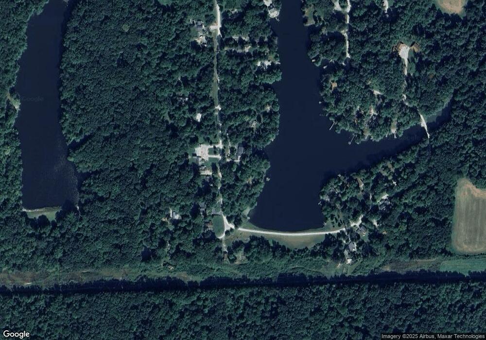
Map
Nearby Homes
- 0 Gatesville Rd Unit MBR22062746
- 0, Tract #7 Smith Rd
- 0 Tract #6 Smith Rd
- 0 Tract #8 Smith Rd
- 5994 Pine Tree Ln
- 0 Tract #3 Sprunica Rd
- Tract 8 Unit Smith Road
- 3740 Smith Rd
- Tract 6 Unit Smith Road
- 826 Freeman Ridge Rd
- 4837 Covered Bridge Rd
- 2289 Twinlake Dr
- 2289 Twinlake Rd
- 8942 Bean Blossom Rd
- 2123 Greasy Creek Rd
- 2533 State Road 135 N
- 2263 Turning Tree Dr
- 4414 Salt Creek Rd
- 8546 N Chickadee Dr
- 0 Maple Dr Unit 202545859
- 5657 N West Shore Dr
- 5632 N West Shore Dr
- 5642 N West Shore Dr
- 5620 N West Shore Dr
- 5620 N West Shore Dr
- 5681 W Shore Dr N
- 5681 N West Shore Dr
- 5590 N West Shore Dr
- 5590 W Shore Dr
- 5688 N West Shore Dr
- 5695 N West Shore Dr
- 1988 E South Shore Dr
- 1940 E South Shore Dr
- 1989 E South Shore Dr
- 1922 S Shore Woodland Lake Dr
- 0 E South Shore Dr Unit MBR2457164
- 0 E South Shore Dr Unit MBR2428337
- 5674 N West Shore Dr
- 2146 Shore Dr