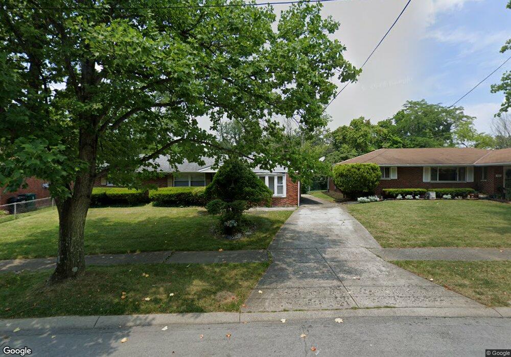
5647 Red Cedar Dr Cincinnati, OH 45224
College Hill NeighborhoodEstimated Value: $204,000 - $241,717
3
Beds
2
Baths
1,535
Sq Ft
$145/Sq Ft
Est. Value
About This Home
This home is located at 5647 Red Cedar Dr, Cincinnati, OH 45224 and is currently estimated at $223,179, approximately $145 per square foot. 5647 Red Cedar Dr is a home located in Hamilton County with nearby schools including Pleasant Hill Elementary School, Robert A. Taft Information Technology High School, and Western Hills High School.
Ownership History
Date
Name
Owned For
Owner Type
Purchase Details
Closed on
Sep 26, 1996
Sold by
Payne Walter O and Payne Rosalind
Bought by
Grier Roger and Grier Jergenes
Current Estimated Value
Home Financials for this Owner
Home Financials are based on the most recent Mortgage that was taken out on this home.
Original Mortgage
$70,500
Outstanding Balance
$6,421
Interest Rate
8%
Estimated Equity
$216,758
Create a Home Valuation Report for This Property
The Home Valuation Report is an in-depth analysis detailing your home's value as well as a comparison with similar homes in the area
Home Values in the Area
Average Home Value in this Area
Purchase History
| Date | Buyer | Sale Price | Title Company |
|---|---|---|---|
| Grier Roger | $76,500 | -- |
Source: Public Records
Mortgage History
| Date | Status | Borrower | Loan Amount |
|---|---|---|---|
| Open | Grier Roger | $70,500 |
Source: Public Records
Tax History Compared to Growth
Tax History
| Year | Tax Paid | Tax Assessment Tax Assessment Total Assessment is a certain percentage of the fair market value that is determined by local assessors to be the total taxable value of land and additions on the property. | Land | Improvement |
|---|---|---|---|---|
| 2024 | $3,806 | $59,969 | $14,917 | $45,052 |
| 2023 | $3,813 | $59,969 | $14,917 | $45,052 |
| 2022 | $2,658 | $37,531 | $12,145 | $25,386 |
| 2021 | $2,609 | $37,531 | $12,145 | $25,386 |
| 2020 | $2,617 | $37,531 | $12,145 | $25,386 |
| 2019 | $2,521 | $32,921 | $10,654 | $22,267 |
| 2018 | $2,523 | $32,921 | $10,654 | $22,267 |
| 2017 | $2,430 | $32,921 | $10,654 | $22,267 |
| 2016 | $2,826 | $37,370 | $11,372 | $25,998 |
| 2015 | $2,527 | $37,370 | $11,372 | $25,998 |
| 2014 | $2,540 | $37,370 | $11,372 | $25,998 |
| 2013 | $2,663 | $38,525 | $11,722 | $26,803 |
Source: Public Records
Map
Nearby Homes
- 5643 Red Cedar Dr
- 5679 Folchi Dr
- 5687 Folchi Dr
- 1054 Grayview Ct
- 1127 Cedar Ave
- 5441 Lanius Ln
- 5839 Argus Rd
- 5773 Lantana Ave
- 5510 Hamilton Ave
- 5660 Hamilton Ave
- 5716 Hamilton Ave
- 1417 Cedar Ave
- 1147 Homeside Ave
- 1137 Homeside Ave
- 6014 Argus Rd
- 5923 Lantana Ave
- 1090 Elda Ln
- 6085 Capri Dr
- 5300 Hamilton Ave
- 5974 Sunridge Dr
- 5651 Red Cedar Dr
- 5655 Red Cedar Dr
- 5639 Red Cedar Dr
- 5648 Red Cedar Dr
- 5642 Red Cedar Dr
- 5611 Leafwood Dr
- 5654 Red Cedar Dr
- 5604 Folchi Dr
- 5605 Leafwood Dr
- 5619 Leafwood Dr
- 5638 Red Cedar Dr
- 5658 Red Cedar Dr
- 5630 Red Cedar Dr
- 5616 Folchi Dr
- 5623 Leafwood Dr
- 5644 Folchi Dr
- 5595 Leafwood Dr
- 5650 Folchi Dr
- 5624 Folchi Dr
- 5624 Redcedar Rd