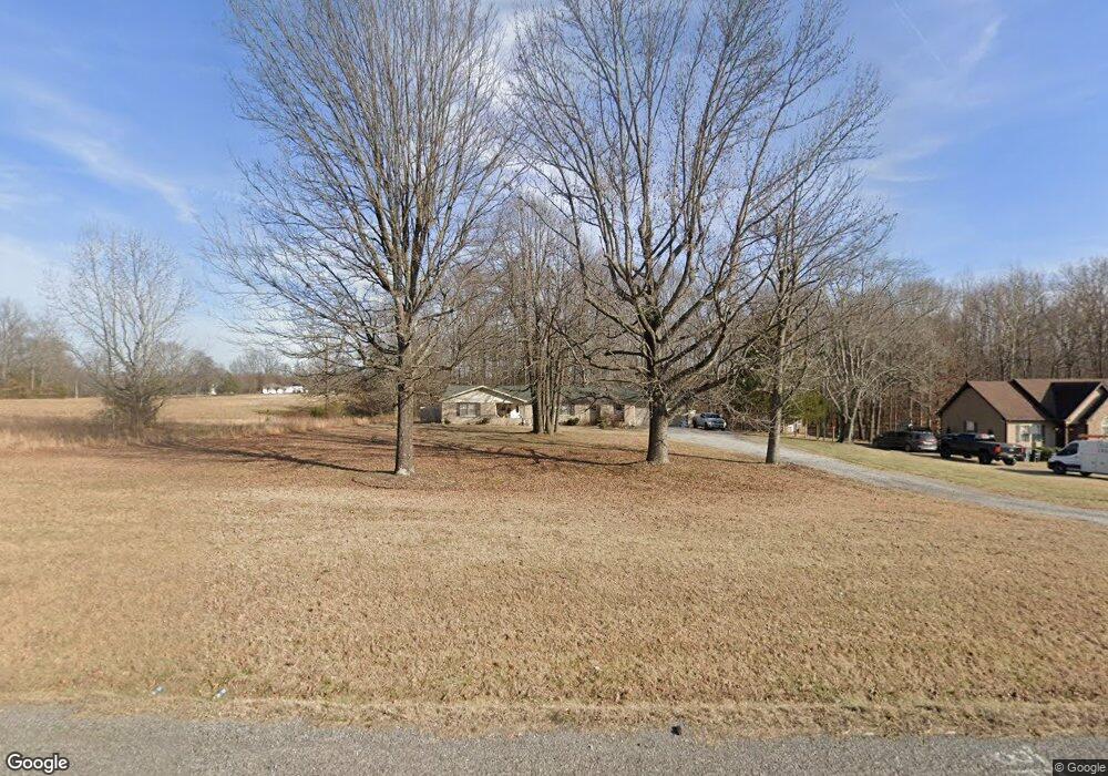
5648 Highway 31 E Westmoreland, TN 37186
Estimated Value: $280,000 - $326,305
--
Bed
1
Bath
1,907
Sq Ft
$163/Sq Ft
Est. Value
About This Home
This home is located at 5648 Highway 31 E, Westmoreland, TN 37186 and is currently estimated at $311,326, approximately $163 per square foot. 5648 Highway 31 E is a home located in Sumner County with nearby schools including Westmoreland Elementary School, Westmoreland Middle School, and Westmoreland High School.
Ownership History
Date
Name
Owned For
Owner Type
Purchase Details
Closed on
May 13, 2019
Sold by
Helson Robert C
Bought by
Crites Daniel Leon and Crites Maryjane U
Current Estimated Value
Home Financials for this Owner
Home Financials are based on the most recent Mortgage that was taken out on this home.
Original Mortgage
$166,961
Outstanding Balance
$146,193
Interest Rate
4%
Mortgage Type
FHA
Estimated Equity
$165,133
Purchase Details
Closed on
Nov 29, 2018
Sold by
Slagowski Clyde
Bought by
Helson Robert C
Purchase Details
Closed on
Jul 29, 2015
Sold by
Driver Clyde
Bought by
Slagowski Clyde
Home Financials for this Owner
Home Financials are based on the most recent Mortgage that was taken out on this home.
Original Mortgage
$109,228
Interest Rate
4.87%
Mortgage Type
FHA
Purchase Details
Closed on
Jul 11, 2014
Sold by
Nichols Shirley and Estate Of Ruth Sloan
Bought by
Stewart Donnie and Dyer Kamala
Create a Home Valuation Report for This Property
The Home Valuation Report is an in-depth analysis detailing your home's value as well as a comparison with similar homes in the area
Home Values in the Area
Average Home Value in this Area
Purchase History
| Date | Buyer | Sale Price | Title Company |
|---|---|---|---|
| Crites Daniel Leon | $189,900 | Four Star Title Llc | |
| Helson Robert C | $115,093 | None Available | |
| Slagowski Clyde | $113,000 | Benchmark Title Co | |
| Stewart Donnie | $15,805 | None Available | |
| Driver Clyde | $100,000 | None Available |
Source: Public Records
Mortgage History
| Date | Status | Borrower | Loan Amount |
|---|---|---|---|
| Open | Crites Daniel Leon | $166,961 | |
| Previous Owner | Slagowski Clyde | $109,228 |
Source: Public Records
Tax History Compared to Growth
Tax History
| Year | Tax Paid | Tax Assessment Tax Assessment Total Assessment is a certain percentage of the fair market value that is determined by local assessors to be the total taxable value of land and additions on the property. | Land | Improvement |
|---|---|---|---|---|
| 2024 | $1,067 | $75,075 | $13,175 | $61,900 |
| 2023 | $1,247 | $36,850 | $4,675 | $32,175 |
| 2022 | $1,251 | $36,850 | $4,675 | $32,175 |
| 2021 | $1,251 | $36,850 | $4,675 | $32,175 |
| 2020 | $1,251 | $36,850 | $4,675 | $32,175 |
| 2019 | $1,251 | $0 | $0 | $0 |
| 2018 | $1,044 | $0 | $0 | $0 |
| 2017 | $1,044 | $0 | $0 | $0 |
| 2016 | $1,044 | $0 | $0 | $0 |
| 2015 | -- | $0 | $0 | $0 |
| 2014 | -- | $0 | $0 | $0 |
Source: Public Records
Map
Nearby Homes
- 1646 Pleasant Grove Rd
- 0 Pleasant Grove Rd
- 705 Emerson Ln
- Aspen Plan at Pleasant Grove Farms
- Broadmoor Plan at Pleasant Grove Farms
- Ironwood Plan at Pleasant Grove Farms
- 744 Emerson Ln
- 4335 Hawkins Dr
- 632 Emerson Ln
- 628 Emerson Ln
- 103 Jollie Ln
- 620 Emerson Ln
- 609 Emerson Ln
- 0 Kelly Blvd Unit RTC2946261
- 593 Emerson Ln
- 118 Robert Simmons Rd
- 2507 Epperson Springs Rd
- 3117 Thompson Ln
- 616 Emerson Ln
- 636 Emerson Ln
- 5648 Highway 31 E
- 5648 Highway 31 E
- 5644 Highway 31 E
- 5648 31e Highway New
- 5648 31e Hwy New
- 5644 31e Highway New
- 5640 New Highway 31 E
- 5640 Highway 31 E
- 5640 Highway 31 E
- 5640 Highway 31 E
- 5636 Highway 31 E
- 5636 Highway 31 E
- 5659 31e Highway New
- 5659 31e Hwy New
- 5626 Highway 31 E
- 5659 Highway 31 E
- 1544 Pleasant Grove Rd
- 1602 Pleasant Grove Rd
- 5620 Highway 31 E
- 1608 Pleasant Grove Rd