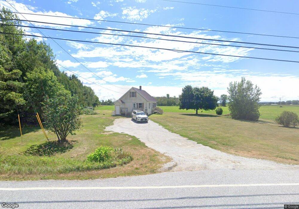
5649 Lower Newton Rd Swanton, VT 05488
Estimated Value: $615,000 - $2,912,274
--
Bed
--
Bath
--
Sq Ft
1,091.64
Acres
About This Home
This home is located at 5649 Lower Newton Rd, Swanton, VT 05488 and is currently estimated at $1,763,637. 5649 Lower Newton Rd is a home located in Franklin County with nearby schools including St. Albans Town Educational Center.
Ownership History
Date
Name
Owned For
Owner Type
Purchase Details
Closed on
Jun 20, 2019
Sold by
Nelson Dairies West Llc
Current Estimated Value
Purchase Details
Closed on
Feb 5, 2019
Sold by
Vermont Agency Of Agriculture & Food
Bought by
Vermont Housing And Conservation Board and Vermont Land Trust Inc
Purchase Details
Closed on
Nov 30, 2018
Sold by
Nelson Dylan
Bought by
Nelson Dairies West Llc
Purchase Details
Closed on
Nov 1, 2013
Sold by
Montagne David and Montagne Cathy
Bought by
Nelson Boys Dairy Llc
Create a Home Valuation Report for This Property
The Home Valuation Report is an in-depth analysis detailing your home's value as well as a comparison with similar homes in the area
Home Values in the Area
Average Home Value in this Area
Purchase History
| Date | Buyer | Sale Price | Title Company |
|---|---|---|---|
| -- | $725,000 | -- | |
| Vermont Housing And Conservation Board | -- | -- | |
| Vermont Housing And Conservation Board | -- | -- | |
| Nelson Dairies West Llc | -- | -- | |
| Nelson Dylan | -- | -- | |
| Nelson Dairies West Llc | -- | -- | |
| Nelson Dairies West Llc | -- | -- | |
| Nelson Dylan | -- | -- | |
| Nelson Boys Dairy Llc | $3,800,000 | -- | |
| Nelson Boys Dairy Llc | $3,800,000 | -- |
Source: Public Records
Tax History Compared to Growth
Tax History
| Year | Tax Paid | Tax Assessment Tax Assessment Total Assessment is a certain percentage of the fair market value that is determined by local assessors to be the total taxable value of land and additions on the property. | Land | Improvement |
|---|---|---|---|---|
| 2024 | $0 | $2,990,400 | $1,351,500 | $1,638,900 |
| 2023 | $0 | $2,990,400 | $1,351,500 | $1,638,900 |
| 2022 | $58,200 | $2,899,400 | $1,351,500 | $1,547,900 |
| 2021 | $61,971 | $2,944,400 | $1,359,600 | $1,584,800 |
| 2020 | $58,897 | $2,944,400 | $1,359,600 | $1,584,800 |
| 2019 | $56,856 | $2,944,400 | $1,359,600 | $1,584,800 |
| 2018 | $72,900 | $2,724,000 | $1,139,200 | $1,584,800 |
| 2017 | $73,010 | $2,724,000 | $1,139,200 | $1,584,800 |
| 2016 | $49,258 | $2,724,000 | $1,139,200 | $1,584,800 |
Source: Public Records
Map
Nearby Homes
- 649 Maquam Shore Rd
- 68 Firefly Ln
- 4455 Lower Newton Rd
- 2 Andersen Ln
- 1679 Kellogg Rd
- 4300 Butler Island W
- 512 Middle Rd
- 570 Lapan Rd
- 207 Fawn Ln
- 600 Fairfax Lot 3 Rd
- 426 St Albans Rd
- 283 N End Rd E
- 1 Meadow View Dr
- 52 Cody Dr
- 17 Reeves Rd
- 21 Reeves Rd
- 25 Reeves Rd
- 29 Reeves Rd
- 45 Reeves Rd
- 49 Reeves Rd
- 5613 Lower Newton Rd
- 5789 Lower Newton Rd
- 144 Perry Rd
- 5796 Lower Newton St
- 5796 Lower Newton Rd
- 196 Perry Rd
- 5462 Lower Newton Rd
- 5612 Lower Newton St
- 238 Perry Rd
- 5402 Lower Newton Rd
- 5798 Lower Newton Rd
- 5798 Lower Newton Rd Unit 2
- 5914 Lower Newton Rd
- 5914 Lower Newton St
- 58965894 Lower Newton Rd
- 5964 Lower Newton Rd
- 0 Perry Rd
- 0 Perry Rd
- 4115 Maquam Shore Rd
- 5262 Lower Newton Rd