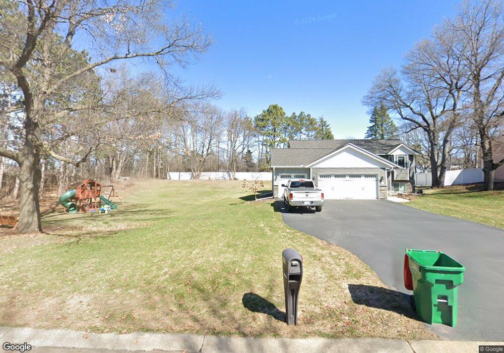
565 124th Ln NW Coon Rapids, MN 55448
Estimated Value: $405,000 - $483,000
3
Beds
1
Bath
1,120
Sq Ft
$380/Sq Ft
Est. Value
About This Home
This home is located at 565 124th Ln NW, Coon Rapids, MN 55448 and is currently estimated at $425,453, approximately $379 per square foot. 565 124th Ln NW is a home located in Anoka County with nearby schools including Sand Creek Elementary School, Northdale Middle School, and Blaine Senior High School.
Ownership History
Date
Name
Owned For
Owner Type
Purchase Details
Closed on
Jul 1, 2015
Sold by
Paanenen Mark A and Paananen Victori A
Bought by
Demarals Michael and Tronson Amber
Current Estimated Value
Home Financials for this Owner
Home Financials are based on the most recent Mortgage that was taken out on this home.
Original Mortgage
$231,800
Outstanding Balance
$180,744
Interest Rate
3.86%
Mortgage Type
New Conventional
Estimated Equity
$244,709
Purchase Details
Closed on
Sep 14, 2013
Sold by
Paanen Mark A and Paananen Victoria
Bought by
Paananen Mark A and Paananen Victori A
Create a Home Valuation Report for This Property
The Home Valuation Report is an in-depth analysis detailing your home's value as well as a comparison with similar homes in the area
Home Values in the Area
Average Home Value in this Area
Purchase History
| Date | Buyer | Sale Price | Title Company |
|---|---|---|---|
| Demarals Michael | $244,000 | Title Specialists Inc | |
| Paananen Mark A | $1,000 | Service Link |
Source: Public Records
Mortgage History
| Date | Status | Borrower | Loan Amount |
|---|---|---|---|
| Open | Demarals Michael | $231,800 |
Source: Public Records
Tax History Compared to Growth
Tax History
| Year | Tax Paid | Tax Assessment Tax Assessment Total Assessment is a certain percentage of the fair market value that is determined by local assessors to be the total taxable value of land and additions on the property. | Land | Improvement |
|---|---|---|---|---|
| 2025 | $4,025 | $391,900 | $102,000 | $289,900 |
| 2024 | $4,025 | $380,900 | $114,800 | $266,100 |
| 2023 | $3,705 | $372,100 | $95,600 | $276,500 |
| 2022 | $3,438 | $375,800 | $89,300 | $286,500 |
| 2021 | $3,355 | $312,200 | $77,800 | $234,400 |
| 2020 | $3,347 | $298,300 | $79,100 | $219,200 |
| 2019 | $3,217 | $285,900 | $76,500 | $209,400 |
| 2018 | $2,978 | $267,900 | $0 | $0 |
| 2017 | $2,644 | $242,400 | $0 | $0 |
| 2016 | $2,719 | $215,300 | $0 | $0 |
| 2015 | -- | $215,300 | $61,200 | $154,100 |
| 2014 | -- | $185,400 | $71,300 | $114,100 |
Source: Public Records
Map
Nearby Homes
- 12357 Magnolia St NW
- 899 123rd Ln NW
- 12488 Unity St NW
- 633 Sand Creek Dr NW
- 12092 Butternut St NW
- 12325 3rd St NE
- 11877 Cottonwood St NW
- 1234 128th Cir NW
- 11923 Wintergreen St NW
- 11640 Larch St NW
- 11852 Yellow Pine St NW
- 1450 126th Ln NW
- 12796 Bluebird St NW
- 12463 Drake St NW
- 1593 126th Ln NW
- 12010 Eagle St NW
- 1520 129th Ave NW
- 1625 124th Ave NW
- 110 132nd Ave NE
- 35 115th Ln NE Unit 489
- 565 565 124th-Lane-nw
- 585 124th Ln NW
- 545 124th Ln NW
- 12471 Larch St NW
- 535 124th Ln NW
- 608 Main St NW
- 12470 Kumquat St NW
- 527 124th Ln NW
- 12461 Larch St NW
- 12460 Kumquat St NW
- 601 Main St NW
- 551 Main St NW
- 12451 Larch St NW
- 519 124th Ln NW
- 12450 Kumquat St NW
- 12470 Larch St NW
- 12475 Kumquat St NW
- 539 Main St NW
- 12431 Larch St NW
- 12465 Kumquat St NW