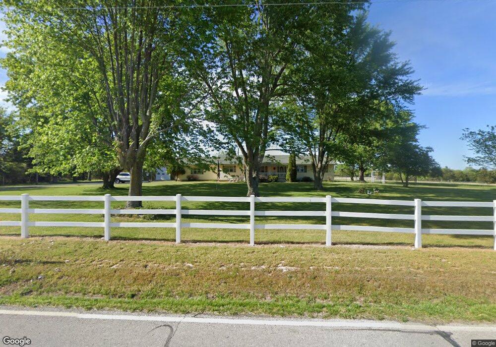
565 E Bumgarner Blvd Strafford, MO 65757
Southeast Springfield NeighborhoodEstimated Value: $233,000
3
Beds
2
Baths
3,360
Sq Ft
$69/Sq Ft
Est. Value
About This Home
This home is located at 565 E Bumgarner Blvd, Strafford, MO 65757 and is currently estimated at $233,000, approximately $69 per square foot. 565 E Bumgarner Blvd is a home located in Greene County with nearby schools including Strafford Elementary School, Strafford Middle School, and Strafford High School.
Ownership History
Date
Name
Owned For
Owner Type
Purchase Details
Closed on
Dec 7, 2022
Sold by
Rose Sam V and Joyce Ann
Bought by
Rose Irrevocable Trust
Current Estimated Value
Purchase Details
Closed on
Apr 13, 2022
Sold by
Rose Samuel V
Bought by
Rose Samuel V and Bethurem Patricia Ann
Create a Home Valuation Report for This Property
The Home Valuation Report is an in-depth analysis detailing your home's value as well as a comparison with similar homes in the area
Home Values in the Area
Average Home Value in this Area
Purchase History
| Date | Buyer | Sale Price | Title Company |
|---|---|---|---|
| Rose Irrevocable Trust | -- | -- | |
| Rose Samuel V | -- | None Listed On Document | |
| Rose Samuel V | -- | None Listed On Document |
Source: Public Records
Tax History
| Year | Tax Paid | Tax Assessment Tax Assessment Total Assessment is a certain percentage of the fair market value that is determined by local assessors to be the total taxable value of land and additions on the property. | Land | Improvement |
|---|---|---|---|---|
| 2025 | $1,954 | $40,650 | $12,930 | $27,720 |
| 2024 | $1,951 | $35,740 | $9,760 | $25,980 |
| 2023 | $1,964 | $35,740 | $9,760 | $25,980 |
| 2022 | $1,765 | $33,880 | $9,760 | $24,120 |
| 2021 | $1,661 | $33,880 | $9,760 | $24,120 |
| 2020 | $1,448 | $29,070 | $9,760 | $19,310 |
| 2019 | $1,443 | $29,070 | $9,760 | $19,310 |
| 2018 | $1,217 | $24,330 | $9,770 | $14,560 |
| 2017 | $0 | $24,290 | $9,770 | $14,520 |
| 2016 | $1,200 | $24,290 | $9,770 | $14,520 |
| 2015 | $1,199 | $24,290 | $9,770 | $14,520 |
| 2014 | $1,194 | $24,010 | $9,760 | $14,250 |
Source: Public Records
Map
Nearby Homes
- 605 S Sunmeadow Dr
- 802 S Sunmeadow Dr
- 600 Kiowa Ct
- 415 & 417 S Dell St
- 211 E Seminole St
- 113 E Comanche Ct
- 101 E Osage St
- Tract 8b N Farm Road 245
- Tract 1 N Farm Road 245
- Tract 8a N Farm Road 245
- Tract 2 N Farm Road 245
- 3246 Missouri 125
- 704 N Ivy Ln
- 400 E Magnolia Ct
- 5786 N Farm Road 249
- 4885 N Crows Nest Ln
- Tbd E Farm Road 104
- 809 N Washington St
- 805 N Dogwood St
- 4548 N Farm Road 249
- 501 S Wrenwood St
- 500 S Whippoorwill Dr
- 503 S Wrenwood St
- 500 S Wrenwood St
- 502 S Whippoorwill Dr
- 502 S Wrenwood St
- 505 S Wrenwood St
- 504 S Whippoorwill Dr
- 501 S Whippoorwill Dr
- 504 S Wrenwood St
- 503 S Whippoorwill Dr
- 507 S Wrenwood St
- 506 S Whippoorwill Dr
- 0 E Bumgarner Blvd Unit 10821498
- 0 E Bumgarner Blvd Unit 10821497
- 0 E Bumgarner Blvd Unit 10822051
- 0 E Bumgarner Blvd Unit 10920812
- 505 S Whippoorwill Dr
- 506 S Wrenwood St
- 507 E Durham Ct
Your Personal Tour Guide
Ask me questions while you tour the home.