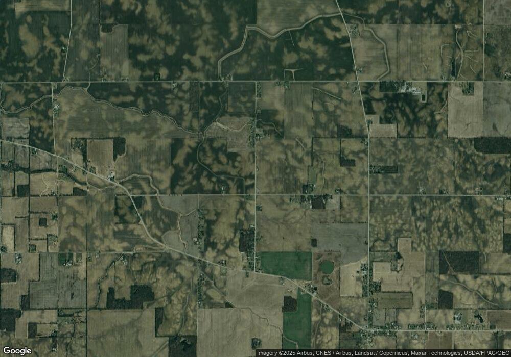
565 Lee Rd Big Island Township, OH 43302
Estimated Value: $41,000 - $140,000
3
Beds
1
Bath
1,572
Sq Ft
$47/Sq Ft
Est. Value
About This Home
This home is located at 565 Lee Rd, Big Island Township, OH 43302 and is currently estimated at $74,103, approximately $47 per square foot. 565 Lee Rd is a home located in Marion County with nearby schools including Ridgedale Elementary School and Ridgedale Junior/Senior High School.
Ownership History
Date
Name
Owned For
Owner Type
Purchase Details
Closed on
Aug 18, 2009
Sold by
Hsbc Bank Usa
Bought by
Harless Zachary S
Current Estimated Value
Purchase Details
Closed on
Jul 27, 2009
Sold by
Freshour Elizabeth Ann and Ann Freshour Aphrodite Elizabeth
Bought by
Hsbc Bank Usa Na and Wells Fargo Home Equity Trust
Purchase Details
Closed on
May 17, 2002
Bought by
Harless Zachary S
Purchase Details
Closed on
Apr 2, 1997
Bought by
Harless Zachary S
Purchase Details
Closed on
Mar 27, 1997
Bought by
Harless Zachary S
Create a Home Valuation Report for This Property
The Home Valuation Report is an in-depth analysis detailing your home's value as well as a comparison with similar homes in the area
Home Values in the Area
Average Home Value in this Area
Purchase History
| Date | Buyer | Sale Price | Title Company |
|---|---|---|---|
| Harless Zachary S | $6,900 | Accutitle Agency Inc | |
| Hsbc Bank Usa Na | $20,000 | None Available | |
| Harless Zachary S | $34,500 | -- | |
| Harless Zachary S | $23,300 | -- | |
| Harless Zachary S | $33,000 | -- | |
| Harless Zachary S | $24,000 | -- |
Source: Public Records
Tax History Compared to Growth
Tax History
| Year | Tax Paid | Tax Assessment Tax Assessment Total Assessment is a certain percentage of the fair market value that is determined by local assessors to be the total taxable value of land and additions on the property. | Land | Improvement |
|---|---|---|---|---|
| 2024 | $64 | $1,610 | $1,610 | $0 |
| 2023 | $64 | $1,610 | $1,610 | $0 |
| 2022 | $59 | $1,610 | $1,610 | $0 |
| 2021 | $57 | $1,400 | $1,400 | $0 |
| 2020 | $57 | $1,400 | $1,400 | $0 |
| 2019 | $57 | $1,400 | $1,400 | $0 |
| 2018 | $56 | $1,370 | $1,370 | $0 |
| 2017 | $57 | $1,370 | $1,370 | $0 |
| 2016 | $55 | $1,370 | $1,370 | $0 |
| 2015 | $53 | $1,310 | $1,310 | $0 |
| 2014 | $55 | $1,310 | $1,310 | $0 |
| 2012 | $81 | $1,980 | $1,980 | $0 |
Source: Public Records
Map
Nearby Homes
- 1890 Bumford Rd
- 3217 Harding Hwy W
- 2109 Harding Hwy W
- 3422 Hillman Ford Rd
- 226 S Green St
- 906 Marseilles-Galion Rd W
- 1193 Osbun Rd
- 2396 Marion-Upper Sandusky Rd
- 523 Thompson St
- 355 Lee St
- 0 Osbun Rd Unit Lot 27 225032274
- 00 Osbun Rd Unit Lot 6
- 434 Scranton Ave
- 179 Selma St
- 690 Meadow St
- 340 Broadway St
- 641 Blake Ave
- 531 Toledo Ave
- 383 Brentwood Dr
- 520 Toledo Ave
